
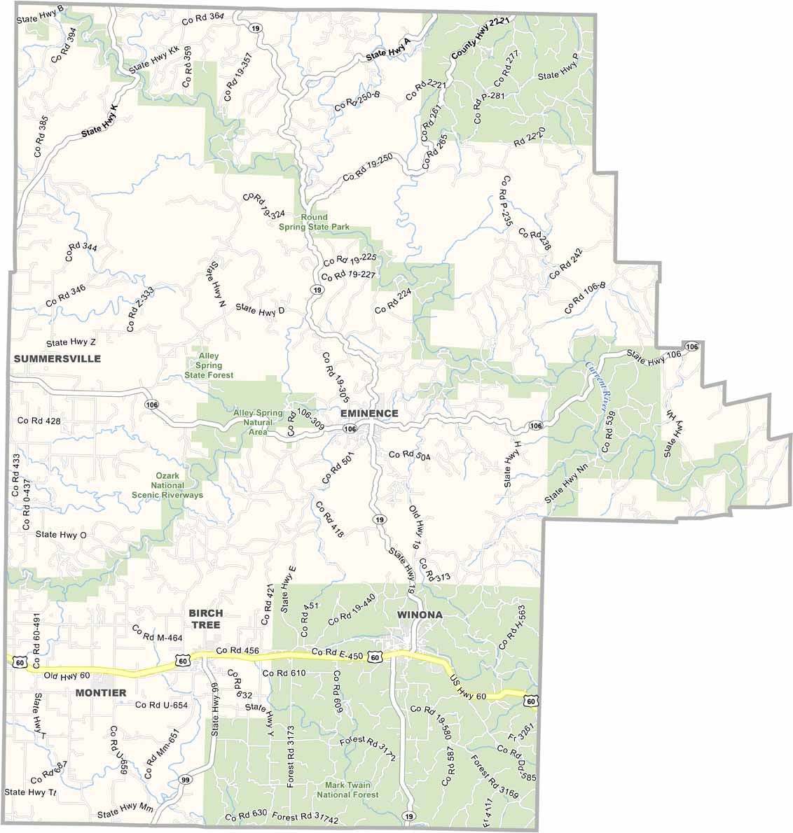
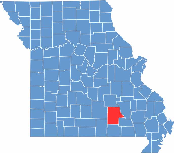
Nestled in the heart of the Ozarks, Shannon County is renowned for its breathtaking natural beauty and abundant outdoor recreation opportunities. The county is home to some of Missouri’s most scenic landscapes, including the pristine Current and Jacks Fork rivers, which attract visitors from across the region.
These crystal-clear rivers provide ideal conditions for floating, kayaking, canoeing, and fishing. Outdoor enthusiasts can also explore Echo Bluff State Park, a popular destination known for its dramatic bluffs, scenic trails, camping facilities, and picturesque surroundings.
Beyond its natural attractions, Shannon County boasts a rich cultural and historical heritage. Long before European settlement, the area was inhabited by Native American tribes, and it later became an important center for the logging industry.

Wright County Map Missouri

Worth County Map Missouri
Wayne County Map Missouri
Warren County Map Missouri
Washington County Map Missouri
