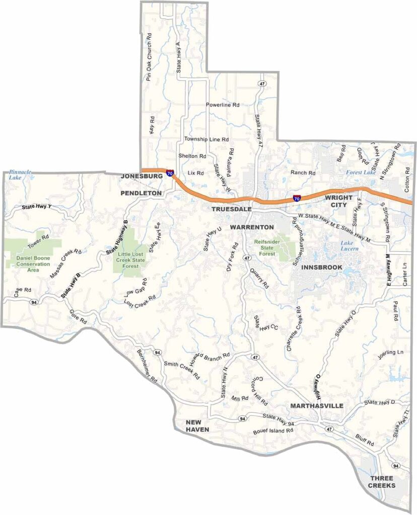
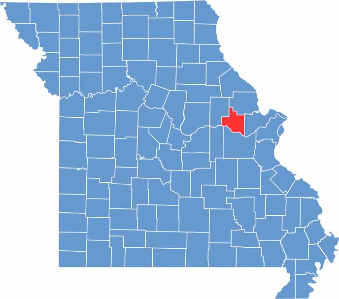
Warren County is located just west of St. Louis, where the urban landscape gradually transitions into rolling hills and picturesque countryside. The Missouri River forms the county’s southern boundary, adding scenic beauty and recreational opportunities to the area.
Rich in history, Warren County was an important part of America’s westward expansion. The historic Boone’s Lick Trail passed through the region, once serving as a key route for settlers traveling west. Today, the trail remains a reminder of the county’s role in the nation’s early frontier history.
Warrenton, the county seat, is conveniently situated along Interstate 70 and serves as the county’s commercial and administrative center. Outdoor enthusiasts can explore Reifsnider State Forest, a popular destination for wildlife viewing, hiking, fishing, and hunting.

Wright County Map Missouri

Worth County Map Missouri
Wayne County Map Missouri
Warren County Map Missouri
Washington County Map Missouri
