
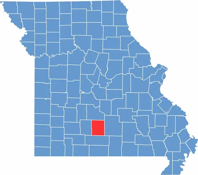
Wright County lies in south-central Missouri, with Hartville serving as the county seat near the heart of the county. The town is known for its small-town charm and welcoming atmosphere.
For outdoor enthusiasts, a portion of the northeast county is covered by the Mark Twain National Forest, offering extensive trails for hiking, horseback riding, and exploring nature.
The Gasconade River is a popular destination for swimming, fishing, and leisurely floating during the warmer months. Agriculture plays a vital role in the local economy, and scenic drives through the county reveal rolling hills dotted with grazing cattle and productive farmland.
Missouri
Wright County Map Missouri

Missouri
Worth County Map Missouri
Missouri
Wayne County Map Missouri
Missouri
Warren County Map Missouri
Missouri
Washington County Map Missouri

Missouri