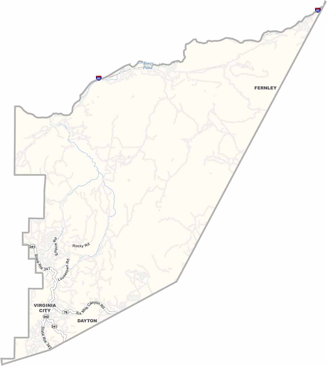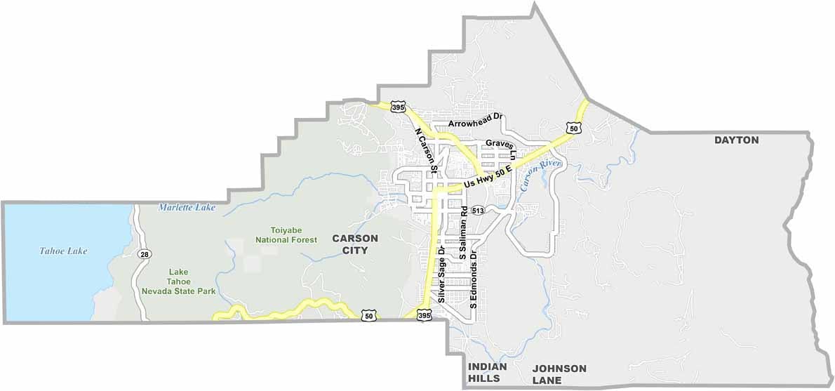
Carson City Map, Nevada

Carson City, Nevada

Carson City, the capital of Nevada, sits in the western part of the state, just east of Lake Tahoe. It's not a big place, with only about 55,000 people calling it home.

The city has some serious history, dating back to the 1850s when silver was discovered nearby. You can feel that Old West vibe walking down its main streets, and the mix of government buildings, museums, and outdoor spots gives the city plenty of variety.

The Sierra Nevada mountains loom large to the west, with plenty of hiking trails. It's way more laid-back than Las Vegas or Reno, and if you're into trains, the Nevada State Railroad Museum is a big draw.
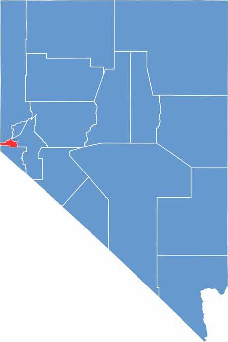
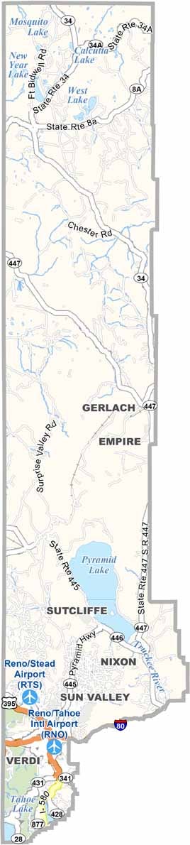
Carson City location map of Nevada
CategoryDetails
County NameCarson City (Independent City)
County SeatCarson City
EtymologyNamed after Kit Carson, a famous American frontiersman
Cities, Towns, and CommunitiesCarson City (no separate towns or cities as it is a consolidated municipality)
Interstates and HighwaysU.S. Highway 50, U.S. Highway 395, Interstate 580
FIPS Code32-510
Total Area (Land and Water)157 square miles (144 sq mi land, 13 sq mi water)
Adjacent Counties (and Direction)Washoe County (North), Storey County (North), Lyon County (East), Douglas County (South), Placer County, California (West)
Time ZonePacific Time Zone (PT)
StateNevada
Coordinates39.1638° N, 119.7674° W
Major LandmarksNevada State Capitol, Nevada State Museum, Kings Canyon Waterfall
PopulationApproximately 59,300
Scroll to Top