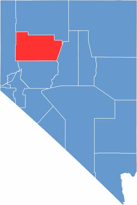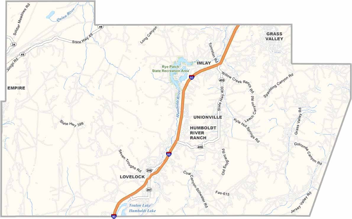
Pershing County lies in the heart of northern Nevada, a place where the past and present collide in the high desert. Lovelock, the county seat, sits along I-80 and is known for its unusual courthouse, round and squat like a castle keep.
This is mining country, with modern operations still pulling gold and silver from the earth. But it's not all about what's underground. The county is home to part of the Black Rock Desert, which hosts the Burning Man festival. When the festival is gone, it's just you and the vast emptiness.
Want something odd? Check out Thunder Mountain, a folk art wonderland built by one determined man. The Humboldt River winds through the county, creating a ribbon of life in the arid landscape, and ranching remains a way of life, with cattle and alfalfa dotting the valley floors. It's a place where the frontier spirit is alive and well, even in the 21st century.