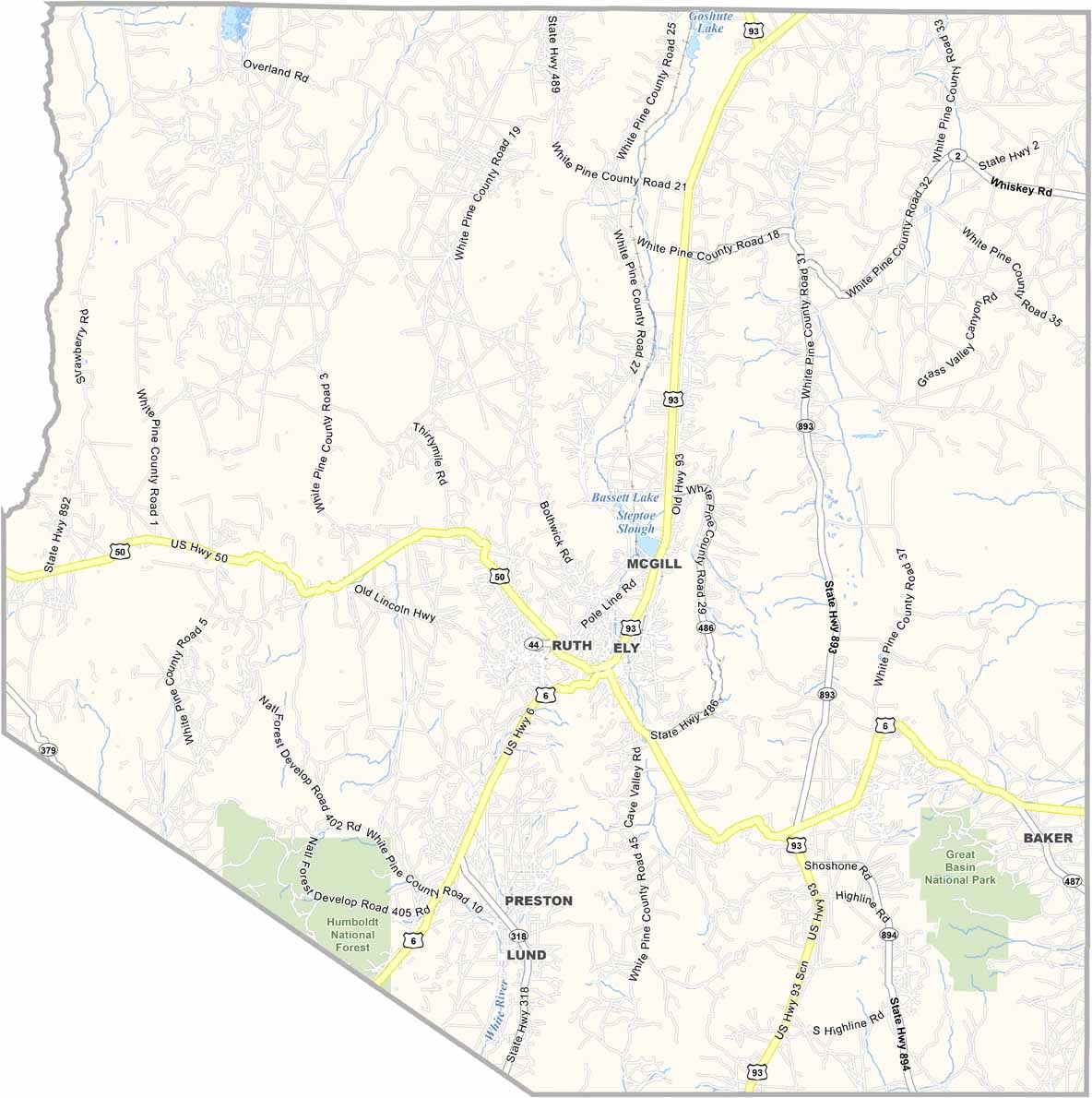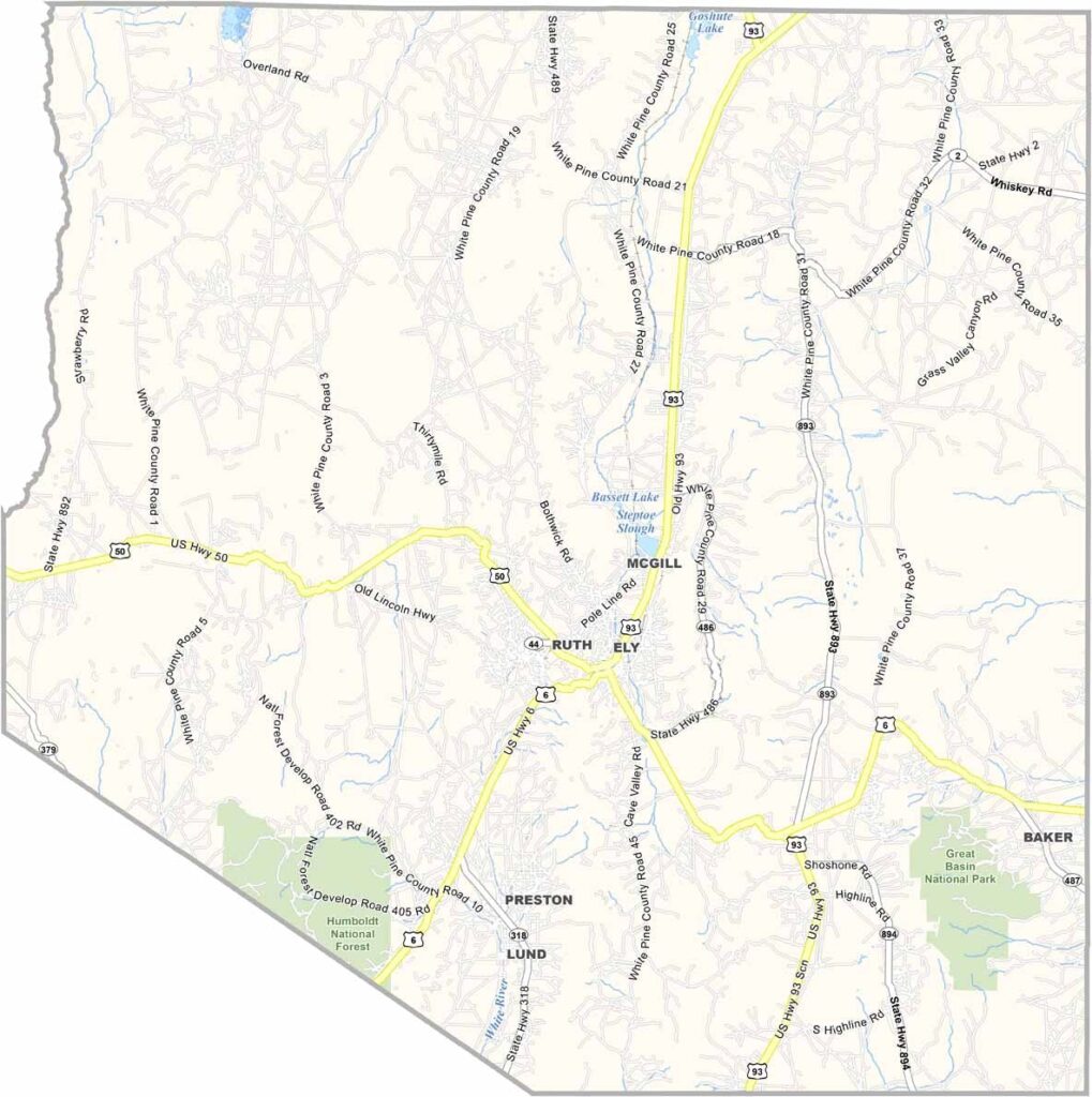
White Pine County Map, Nevada

White Pine County, Nevada

White Pine County sits in east-central Nevada, right next to Utah. Ely, the county seat, feels like a throwback to simpler times. This is copper country, with a history as deep as the mines that dot the landscape.

Great Basin National Park is the crown jewel, home to ancient bristlecone pines and the stunning Lehman Caves. If you want isolation, you've got it here. The county is bigger than Connecticut but home to fewer than 10,000 people.

Ranching is still a way of life, with cattle grazing on vast open ranges. The Nevada Northern Railway showcases the area's railroading past, complete with steam engines. White Pine County also draws astronomers and stargazers for its incredibly dark skies. It's a place where the mountains meet the high desert.
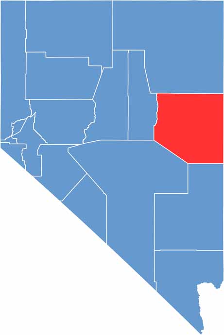
White Pine County location map of Nevada
CategoryDetails
County NameWhite Pine County
County SeatEly
EtymologyNamed after the White Pine trees found in the region
Cities, Towns, and CommunitiesEly, McGill, Ruth, Lund, Baker
Interstates and HighwaysU.S. Highway 6, U.S. Highway 50, U.S. Highway 93, Nevada State Route 318
FIPS Code32-033
Total Area (Land and Water)8,897 square miles (8,876 sq mi land, 21 sq mi water)
Adjacent Counties (and Direction)Elko County (North), Tooele County, Utah (Northeast), Juab County, Utah (East), Millard County, Utah (Southeast), Lincoln County (South), Nye County (Southwest), Eureka County (West)
Time ZonePacific Time Zone (PT)
StateNevada
Coordinates39.2803° N, 114.8724° W
Major LandmarksGreat Basin National Park, Lehman Caves, Ward Charcoal Ovens State Historic Park
PopulationApproximately 9,800
Scroll to Top