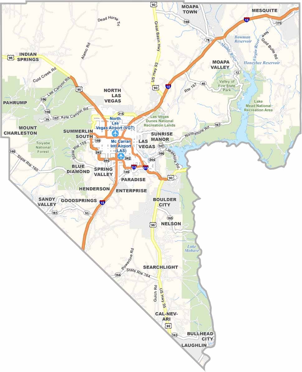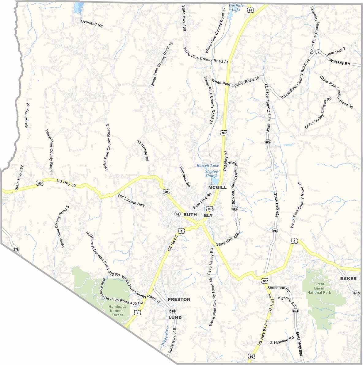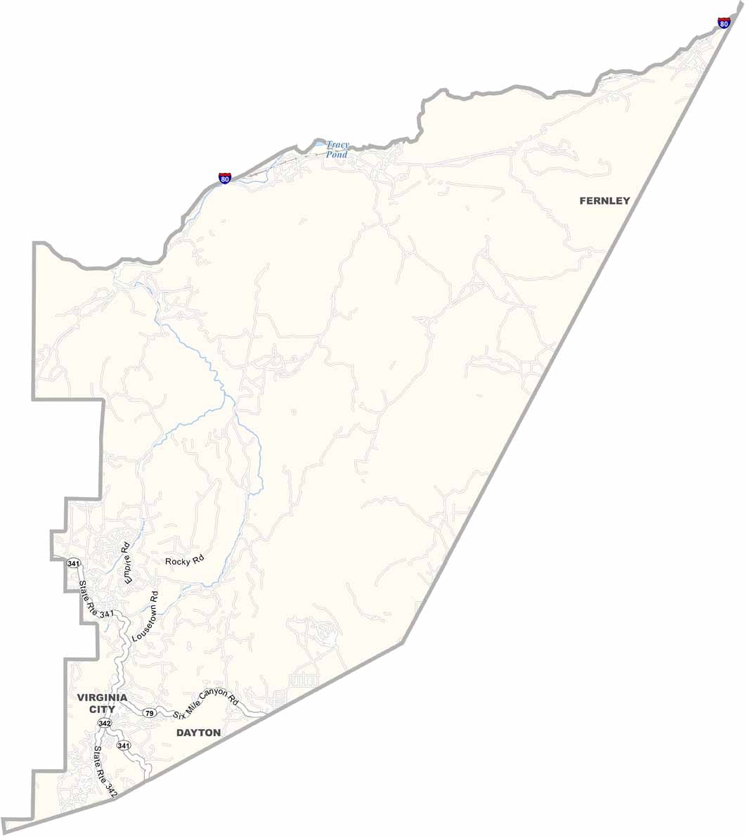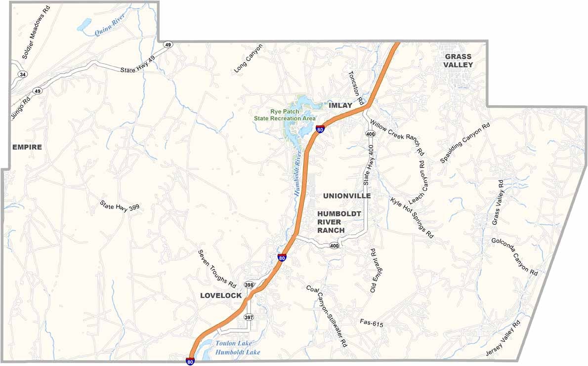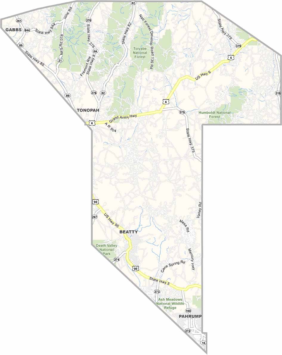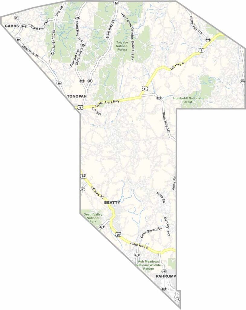
Nye County Map, Nevada

Nye County, Nevada

Stretching from just outside Las Vegas all the way to the middle of nowhere, Nye County is the third-largest county in the lower 48 states, a land of extremes. Pahrump, the biggest town, is a mix of retirees and desert rats, while Tonopah still carries the echoes of the silver rush.

This is the home of the Nevada Test Site, where mushroom clouds once rose over the desert. These days, solar farms catch the intense sunlight. Want weird? Head to Beatty, gateway to Death Valley and home to a ghost town filled with junk art.

Nye County has more dirt roads than paved ones. It's a place where wild burros roam free and the stars shine so bright you'll think you're seeing things. Despite its size, barely 50,000 people call this rugged county home.
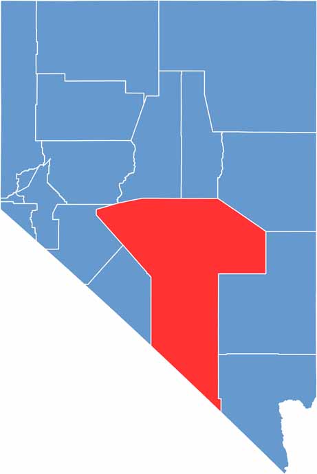
Nye County location map of Nevada
CategoryDetails
County NameNye County
County SeatTonopah
EtymologyNamed after James W. Nye, the first governor of the Nevada Territory
Cities, Towns, and CommunitiesPahrump, Tonopah, Beatty, Amargosa Valley, Round Mountain, Gabbs, Manhattan
Interstates and HighwaysU.S. Highway 95, U.S. Highway 6, Nevada State Route 160, Nevada State Route 372
FIPS Code32-023
Total Area (Land and Water)18,199 square miles (18,182 sq mi land, 17 sq mi water)
Adjacent Counties (and Direction)Churchill County (Northwest), Lander County (North), Eureka County (North), White Pine County (Northeast), Lincoln County (East), Clark County (Southeast), Esmeralda County (West), Mineral County (West), Inyo County, California (South)
Time ZonePacific Time Zone (PT)
StateNevada
Coordinates38.0000° N, 116.0000° W
Major LandmarksDeath Valley National Park, Ash Meadows National Wildlife Refuge, Rhyolite Ghost Town
PopulationApproximately 54,000
Scroll to Top