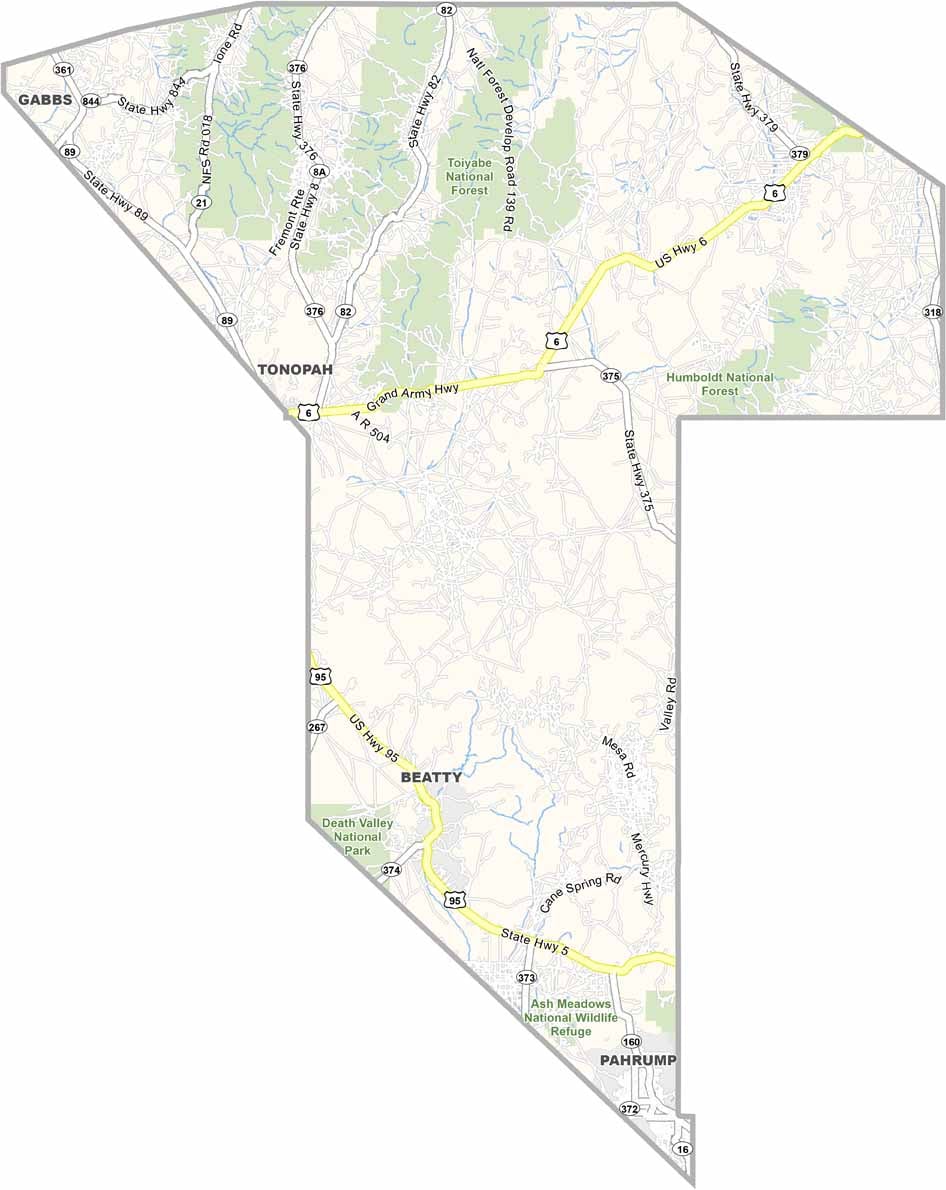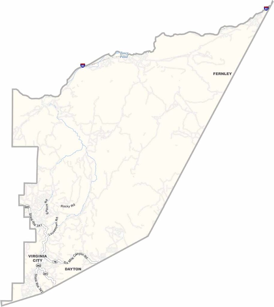
Storey County Map, Nevada

Storey County, Nevada

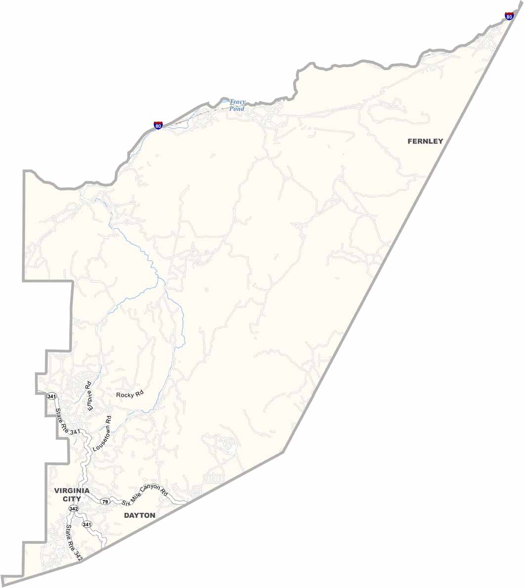
Storey County may be the smallest county in Nevada, but it packs a big punch. Located just east of Reno, it's home to Virginia City, once the richest place in America.

This former boomtown still looks like it's stuck in the 1870s, and that's exactly how locals like it. Wooden sidewalks and saloons line the main street. It's touristy, sure, but in a charming way.

The county is named after a man who was killed in a duel. How's that for Wild West cred? These days, Storey County is reinventing itself with the massive Tahoe Reno Industrial Center. You can still pan for gold here, or take a ride on a historic V&T Railroad steam engine.
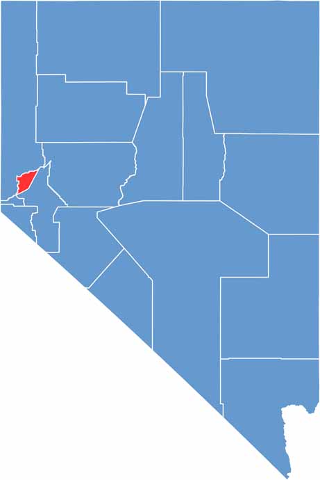
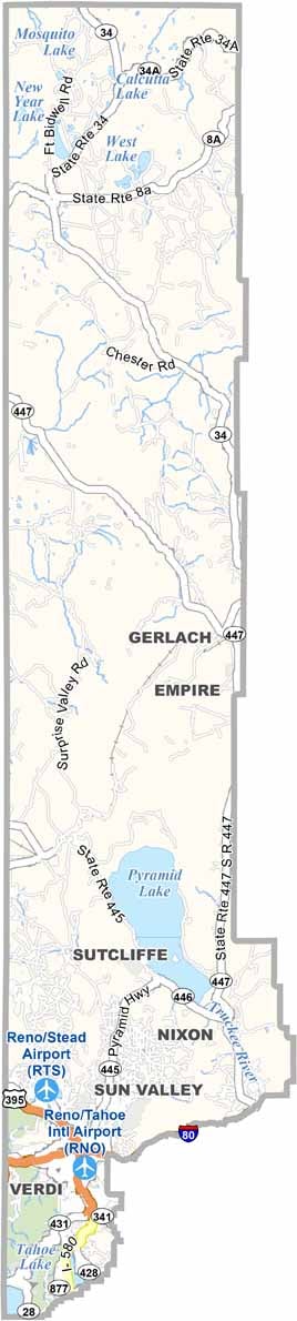
Storey County location map of Nevada
CategoryDetails
County NameStorey County
County SeatVirginia City
EtymologyNamed after Edward Farris Storey, a captain who died in the Pyramid Lake War
Cities, Towns, and CommunitiesVirginia City, Gold Hill, Lockwood, Mark Twain, Silver City
Interstates and HighwaysU.S. Highway 50, Nevada State Route 341
FIPS Code32-029
Total Area (Land and Water)264 square miles (263 sq mi land, 1 sq mi water)
Adjacent Counties (and Direction)Washoe County (North), Lyon County (Southeast), Carson City (Southwest)
Time ZonePacific Time Zone (PT)
StateNevada
Coordinates39.3906° N, 119.6751° W
Major LandmarksVirginia City Historic District, Comstock Lode, Fourth Ward School Museum
PopulationApproximately 5,000
Scroll to Top