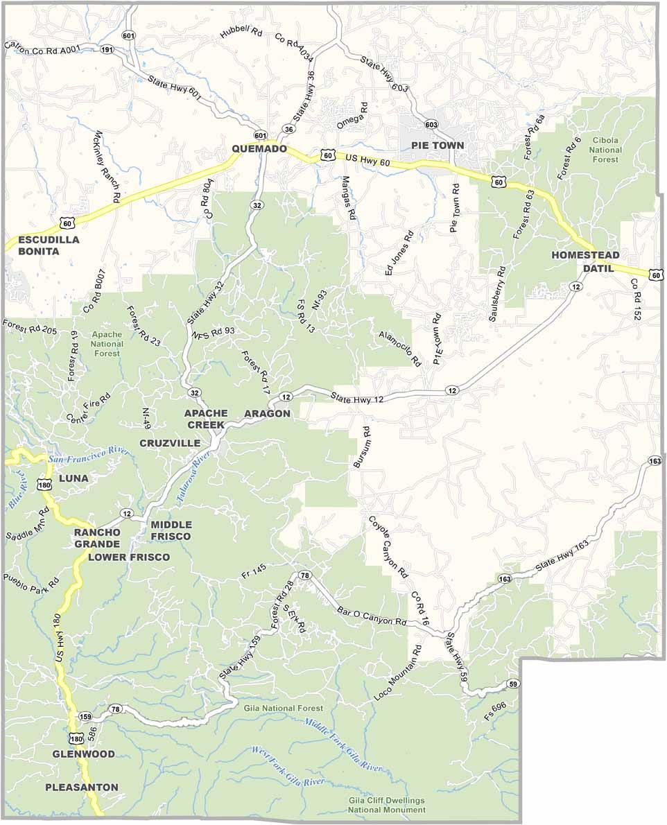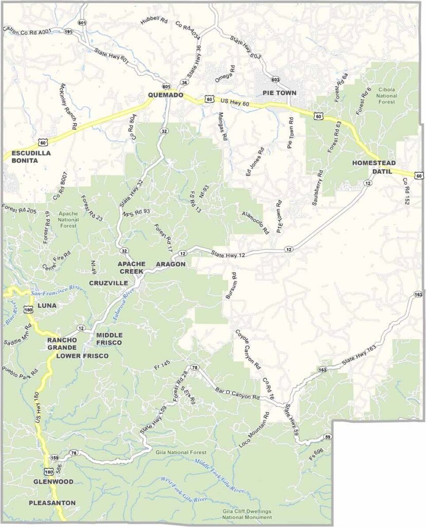
Catron County Map, New Mexico

Catron County, New Mexico

Catron County sits in west-central New Mexico, and it's huge. It's the biggest county in the state, but here's the kicker: it also has one of the smallest populations of any county in New Mexico.

Wide-open spaces are the norm here, and the Gila National Forest covers a big chunk of the southern region. It's paradise for outdoor lovers, and hunting, fishing, and camping are a way of life.

The night sky here is incredible, with more stars than you ever thought possible. Catron County also has a rich cowboy heritage, like stepping back in time to the Old West. The people here are tough and independent. They have to be.
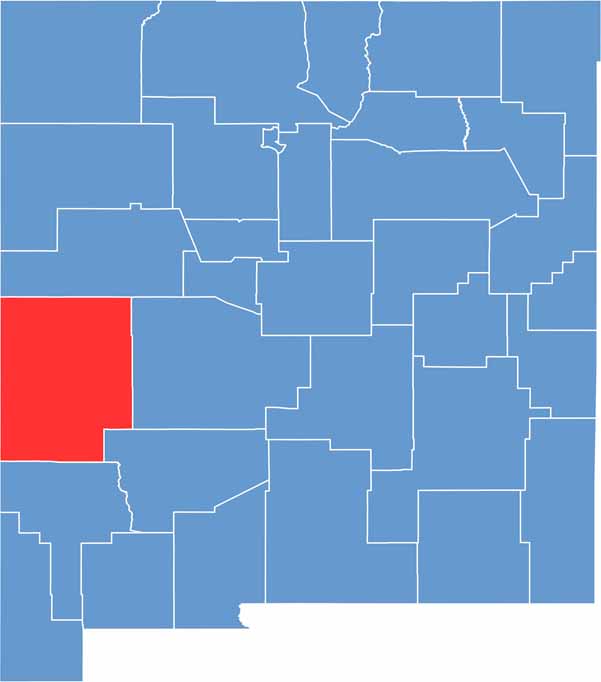

Catron County location map of New Mexico
CategoryDetails
County NameCatron County
County SeatReserve
EtymologyNamed after Thomas B. Catron, a prominent lawyer, politician, and landowner in New Mexico
Cities, Towns, and CommunitiesReserve, Glenwood, Datil, Quemado, Luna
Interstates and HighwaysU.S. Route 60, U.S. Route 180, New Mexico State Road 12
FIPS Code35-003
Total Area (Land and Water)6,929 square miles (6,924 sq mi land, 5 sq mi water)
Adjacent Counties (and Direction)Cibola County (North), Socorro County (East), Sierra County (Southeast), Grant County (South), Greenlee County, Arizona (West), Apache County, Arizona (West)
Time ZoneMountain Time Zone (MT)
StateNew Mexico
Coordinates33.8774° N, 108.9220° W
Major LandmarksGila National Forest, Apache Creek, The Catwalk Recreation Area, Very Large Array (nearby)
PopulationApproximately 3,500
Scroll to Top