
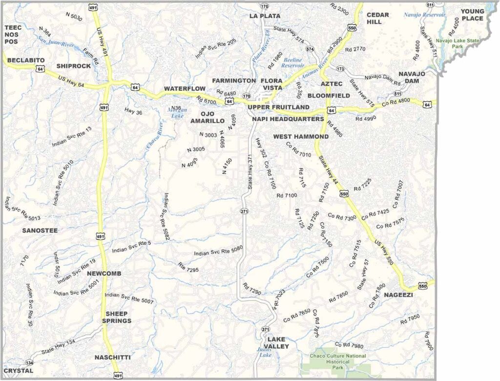
San Juan County is located in the Four Corners region of New Mexico. That’s right—it’s part of the only spot in the United States where four states meet. How cool is that? Aztec serves as the county seat, while Farmington is the largest city.
Farmington is known for its energy industry, with oil, gas, and coal playing major roles in its history. The Animas River runs through the city, offering great opportunities for rafting and kayaking. Ancient Puebloan ruins can also be found in the area, with Chaco Canyon located nearby.
Part of the county lies within the Navajo Nation, whose culture adds a rich layer to the community. The area also has a rugged natural beauty, with Shiprock standing prominently on the horizon. This massive volcanic rock formation is sacred to the Navajo.
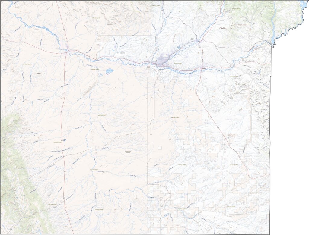
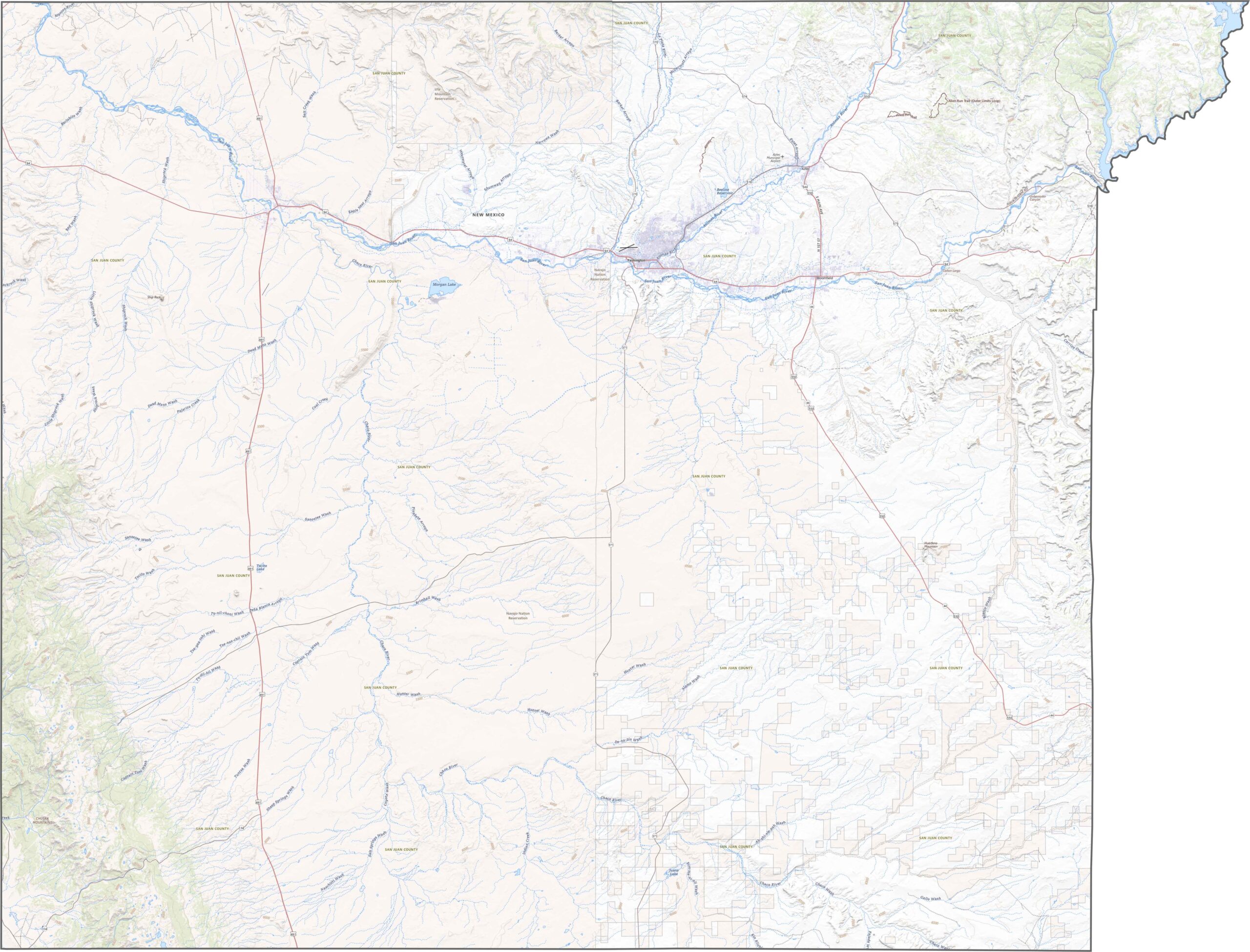
Out here, the roads are long, wide, and built for open-country travel. U.S. 64 enters from the east, crosses the county, and continues westward. U.S. 550 heads southeast through the open desert, while NM 491 runs north toward the Four Corners. Use our zoom tool to explore the routes on the road map below.
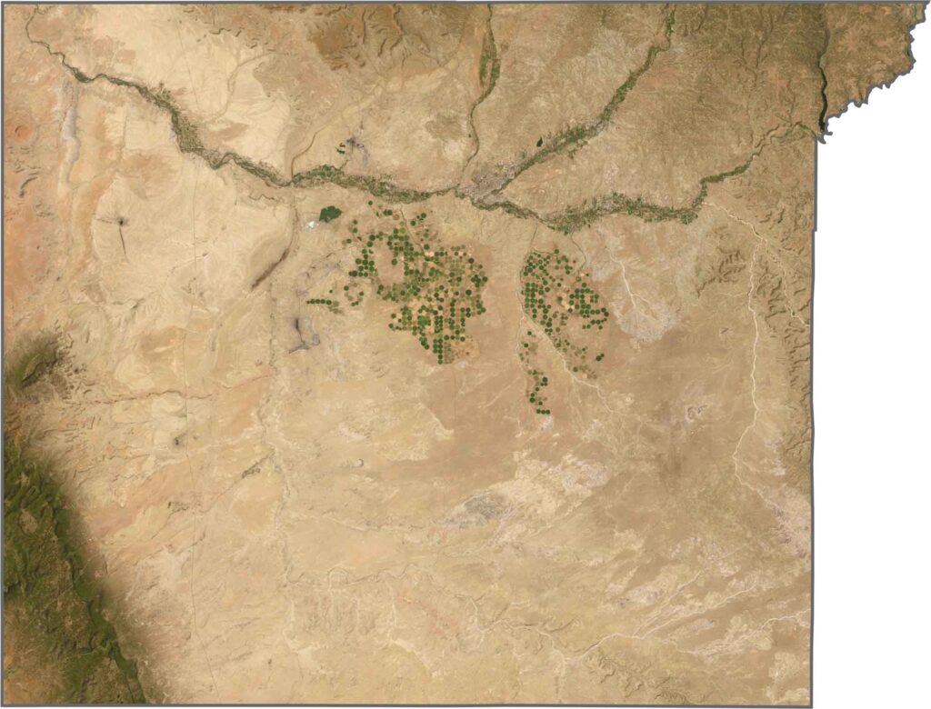
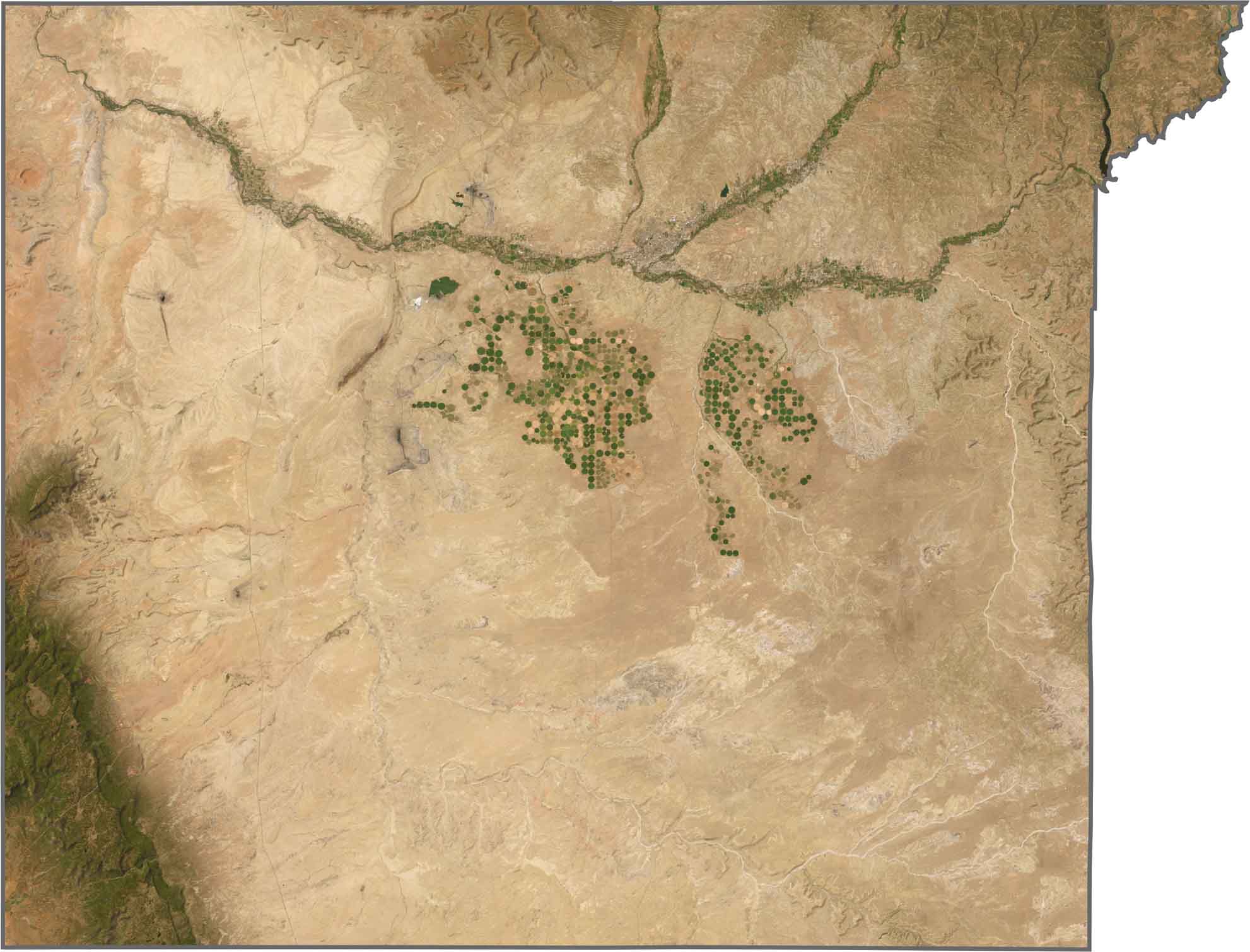
From above, Farmington and its surrounding suburbs appear grayish-white near the center of the county. Farther west, the landscape shifts to orange and bare terrain, followed by deeper red and brown tones. Use our zoom tool below to take a closer look at San Juan County’s varied landscape.
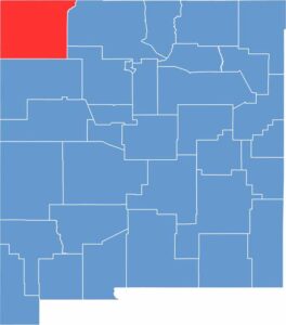
San Juan County sits in the northwestern corner of New Mexico, bordering both Utah and Arizona. Its outline is mostly blocky, except near the northeast corner around Navajo Dam. This section of the boundary follows Navajo Reservoir along the northeastern edge.









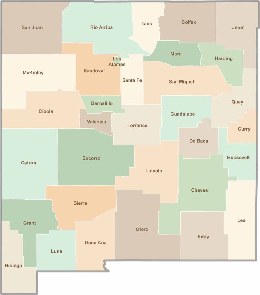
New Mexico’s 33 counties stretch from high desert landscapes to snow-capped mountain peaks. Each one has its own blend of cultures, scenery, and legends. One moment you could be exploring ancient ruins in McKinley County, and the next you might be stargazing beneath the wide-open skies of Hidalgo County.