
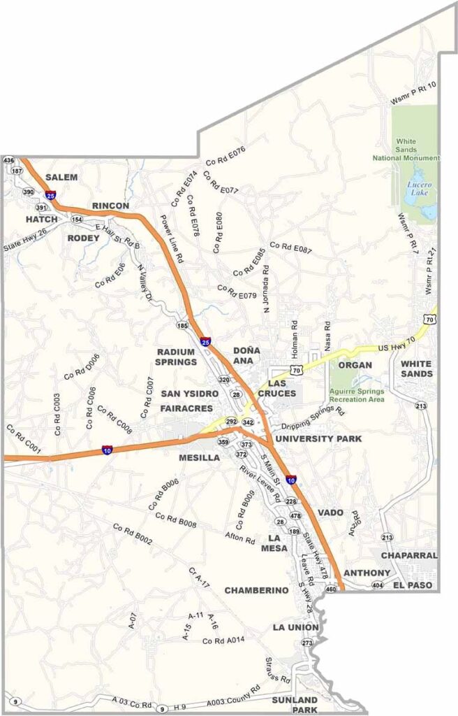
Doña Ana County is located in southern New Mexico, right along the borders of Texas and Mexico. Las Cruces, the state’s second-largest city, is located here. The county is known for its striking desert scenery, with the Organ Mountains rising dramatically from the desert floor. They are especially breathtaking at sunrise.
Chile peppers are a major part of life here, and the smell of roasting green chile fills the air every fall. New Mexico State University sits in the heart of Las Cruces, giving the area a mix of college-town energy and border culture. Nearby White Sands National Park feels almost like another planet, with its brilliant white landscape.
The Rio Grande flows through the county, bringing life to the Mesilla Valley. Pecan orchards line its banks, adding greenery to the desert landscape. The area also has a deep history, from ancient pueblos and Spanish colonists to modern space research. It’s a place that continues to reinvent itself.
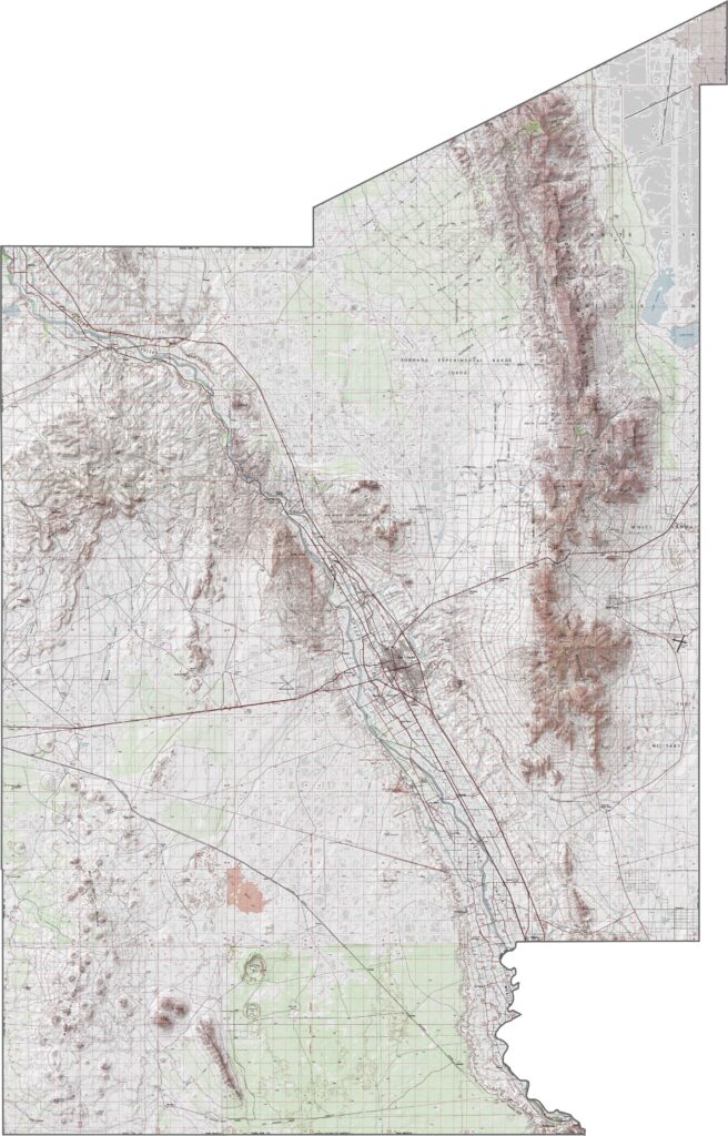
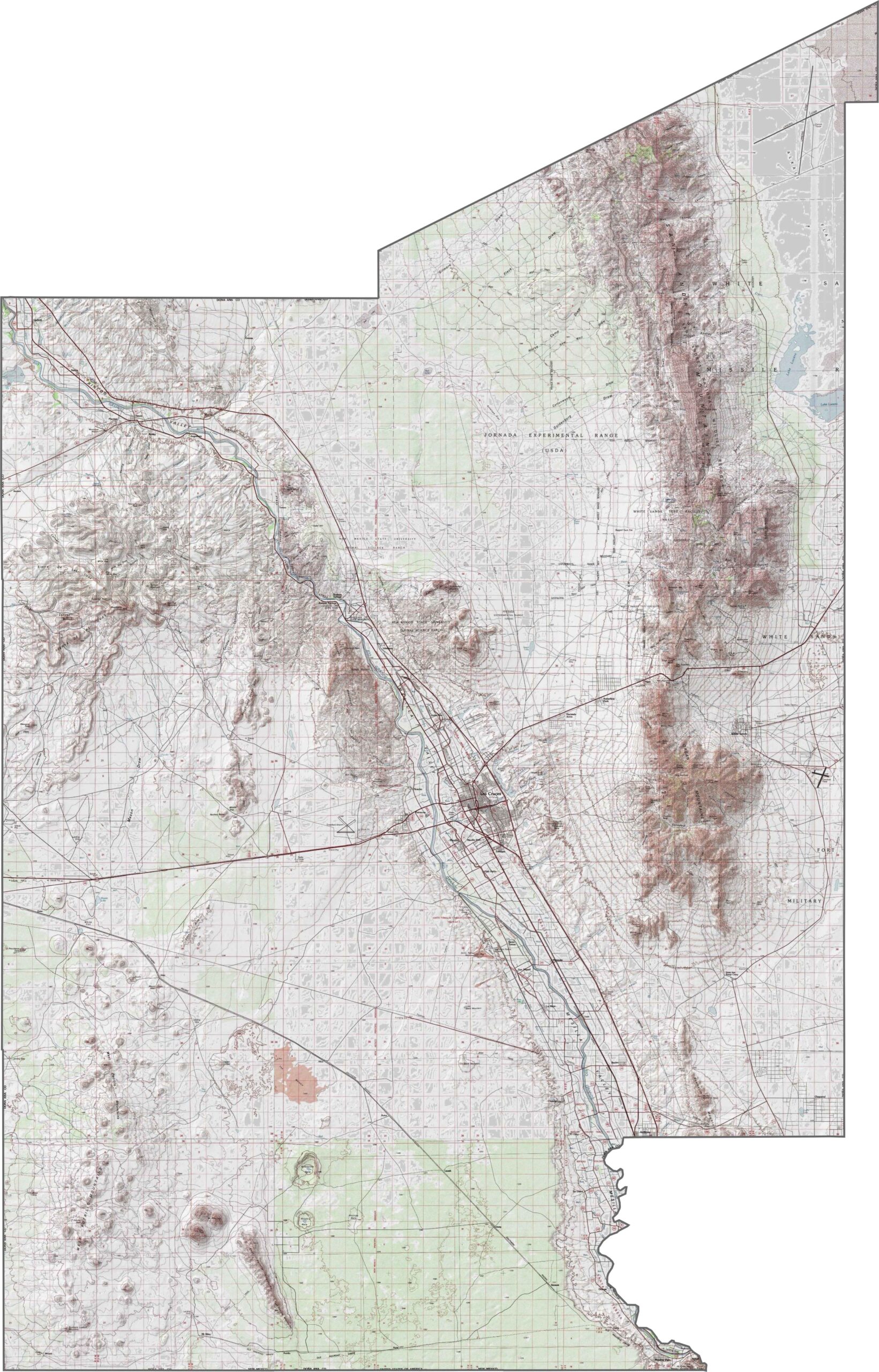
The Organ Mountains rise dramatically along the eastern side of Doña Ana County. From there, the land drops quickly toward the desert floor. Use our zoom tool and topographic map to explore the county’s terrain in greater detail.
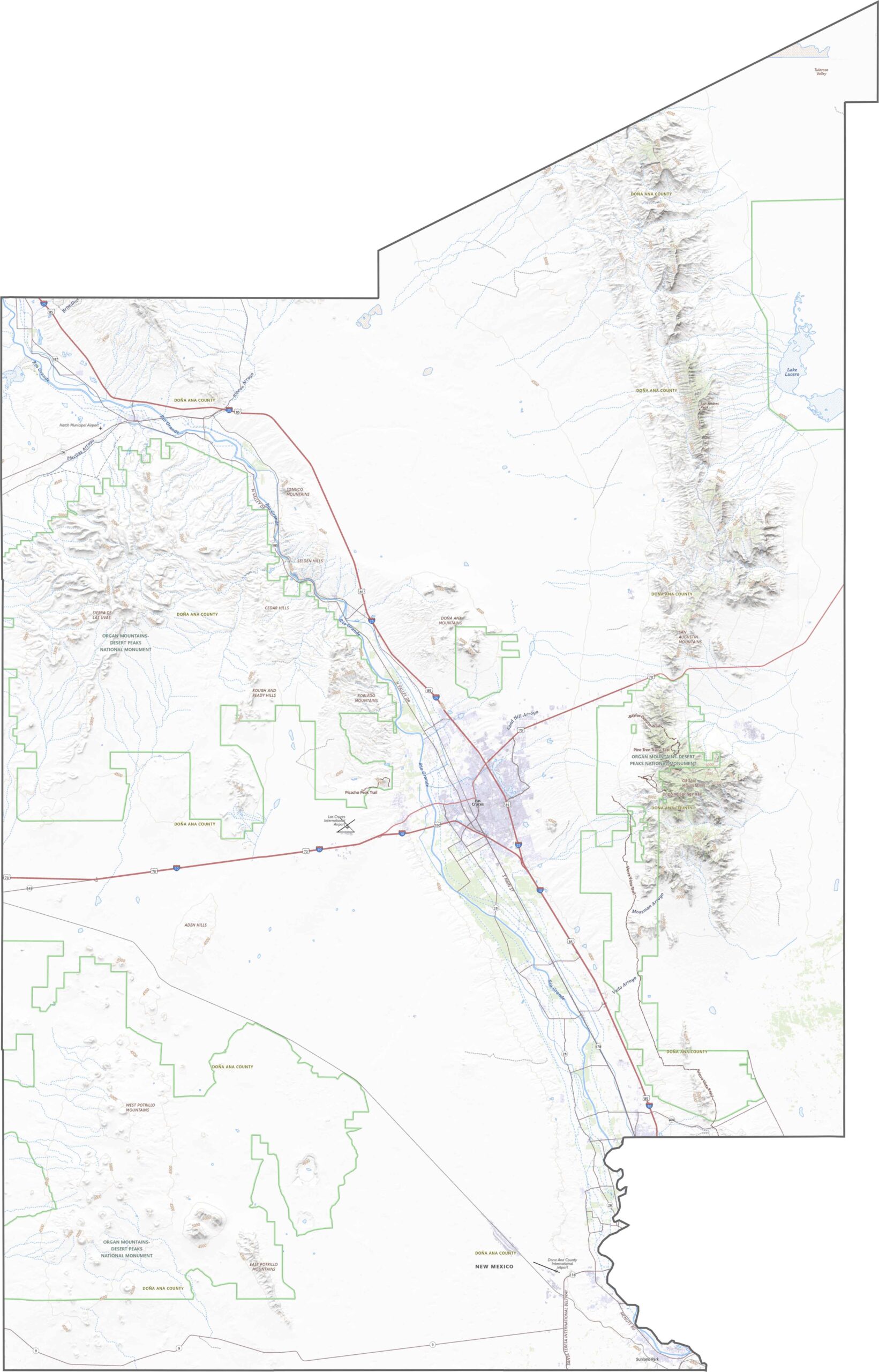
Doña Ana County has several major routes connecting the region. I-10 runs along the southern edge, carrying traffic between Texas and Arizona. U.S. 70 cuts northeast through the county in a relatively straight route. Use our zoom tool to take a closer look at the road network.
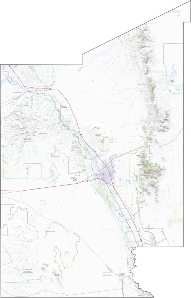
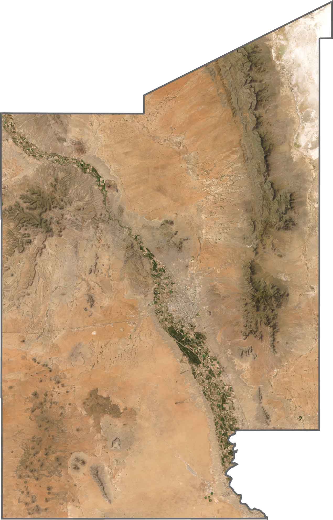
From above, Las Cruces stands out clearly in the south-central part of the county. The city is surrounded by neighborhoods, farmland, and desert. To the east, the Organ Mountains cast sharp shadows across the landscape, with their jagged peaks easy to recognize.
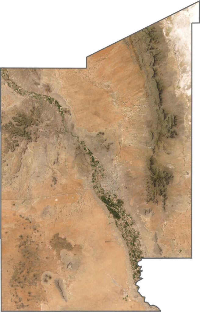
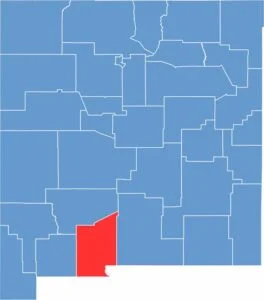
Doña Ana County stretches along the southern border of New Mexico, with a slightly uneven but easy-to-follow outline. It borders both Texas and Mexico.









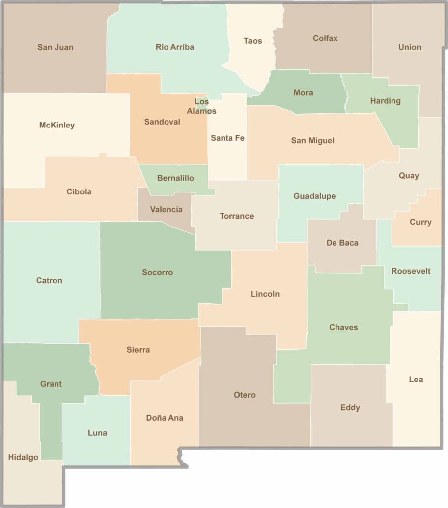
New Mexico’s 33 counties stretch from high desert landscapes to snow-capped mountain peaks. Each one has its own blend of cultures, scenery, and legends. One moment you could be exploring ancient ruins in McKinley County, and the next you might be stargazing beneath the wide-open skies of Hidalgo County.