
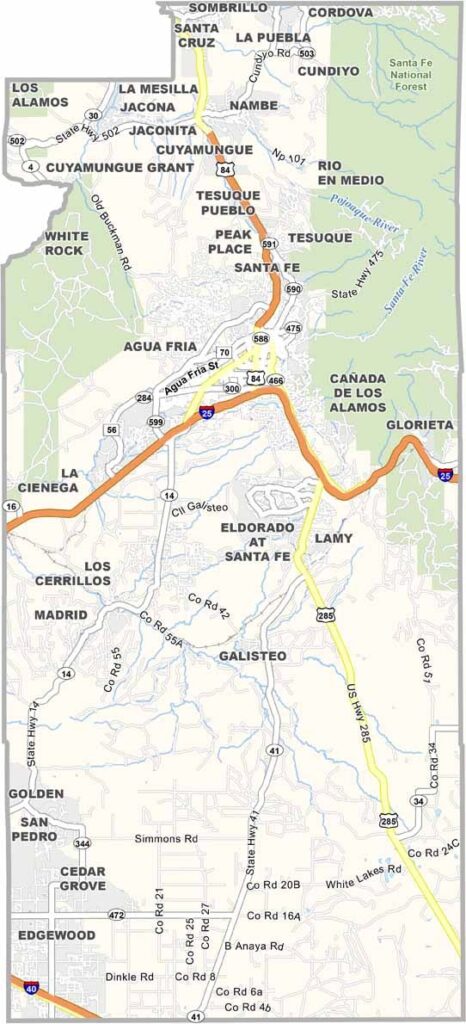
Santa Fe County is located in the heart of northern New Mexico and is home to the oldest capital city in the United States. Santa Fe is a paradise for art lovers, with galleries lining Canyon Road and the Georgia O’Keeffe Museum drawing visitors from near and far.
But there’s much more to the county than the city. The Sangre de Cristo Mountains rise to the east, offering plenty of opportunities for hiking and skiing. Cerrillos Hills State Park is another popular spot for hiking and horseback riding.
The Turquoise Trail National Scenic Byway winds through the southern part of the county, passing through historic mining towns along the way. Santa Fe County also has a rich blend of cultures, reflected in its unique architecture and flavorful local cuisine.
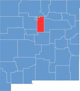
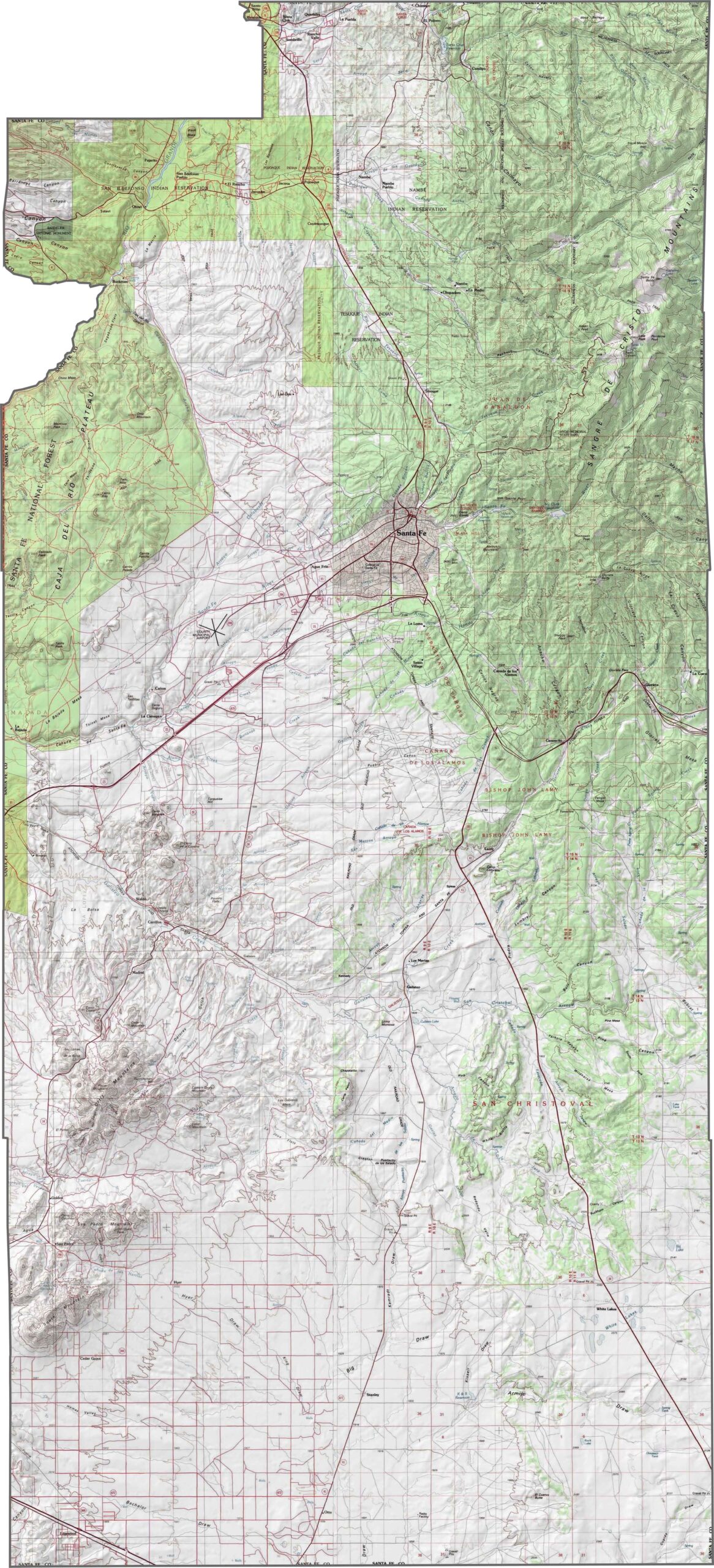
Santa Fe County sits where the southern Rockies meet the high desert, and the terrain shows it. The Sangre de Cristo Mountains dominate the northeast, while the southwest opens into broad plains. You can go from pine-covered slopes to cactus-filled desert in less than an hour. It’s high desert with plenty of altitude.
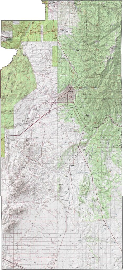
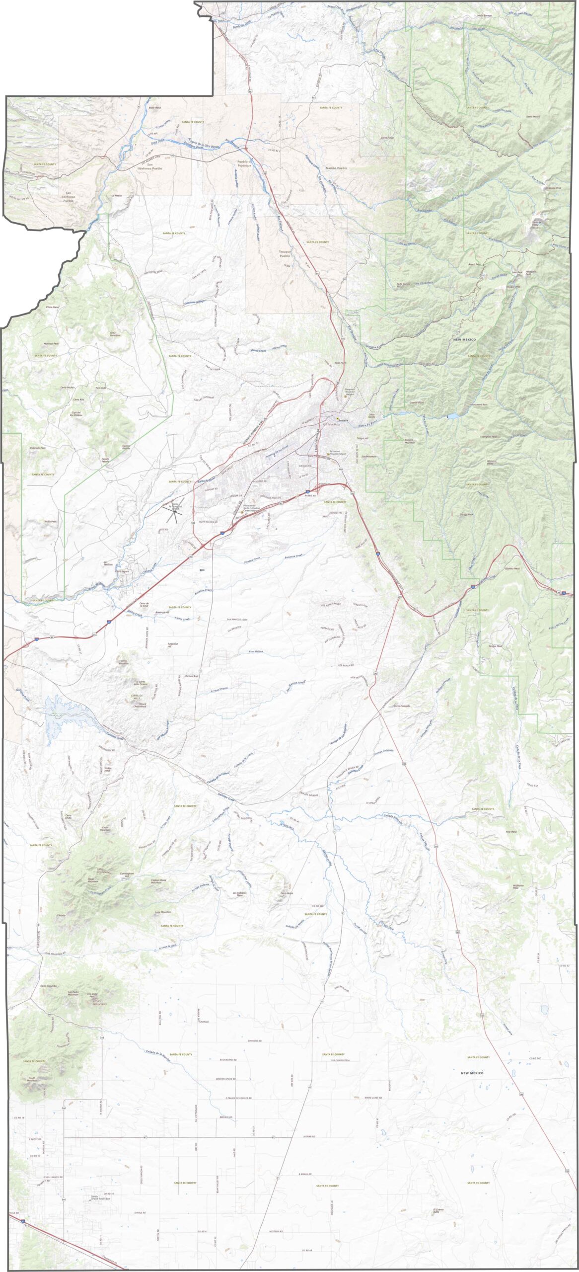
Our Santa Fe County road map shows major highways such as I-25, U.S. Route 84, and U.S. Route 285. Roads here don’t believe in straight lines. They twist, dip, and suddenly turn into scenic routes without warning. Our zoom tool makes it easier to explore the transportation system around the state capital and beyond.
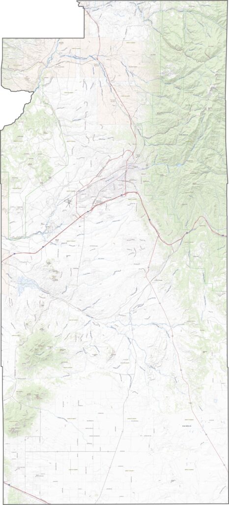
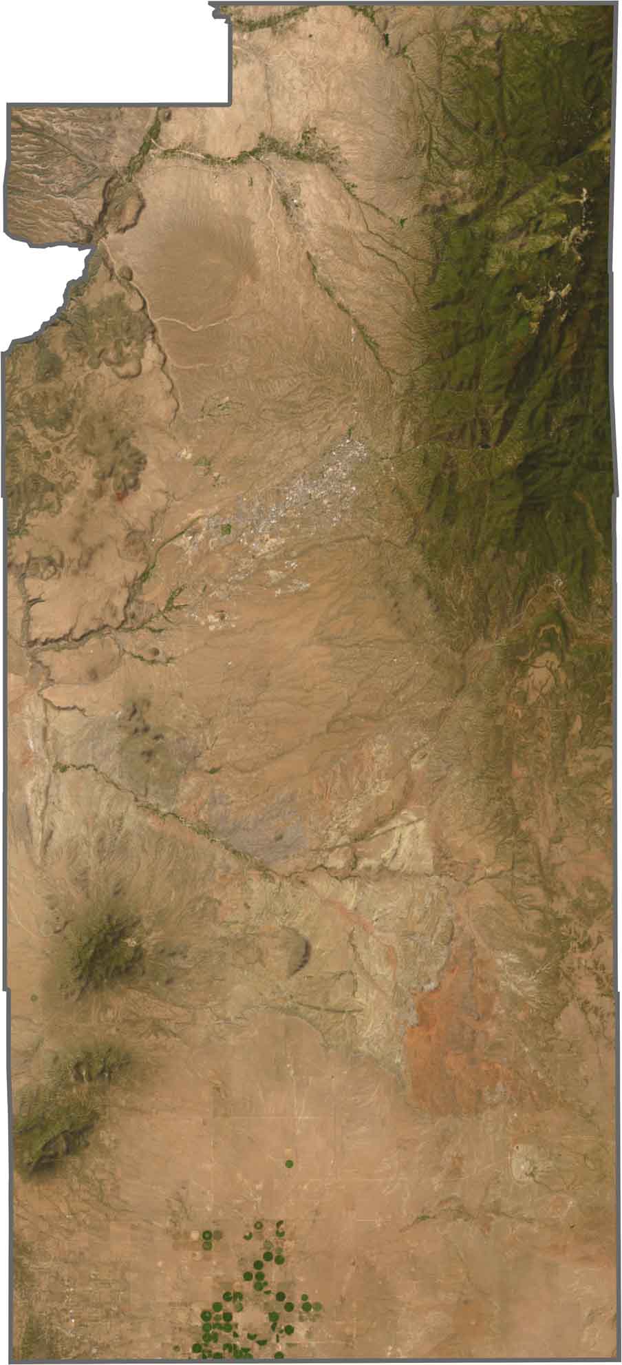
From above, Santa Fe appears surrounded by hills. To the east, the mountains dominate the landscape with deep green areas and blue shadows. Westward, the terrain quickly becomes flatter, shifting from tan to almost white. In the far south, irrigation circles stand out clearly across the landscape.
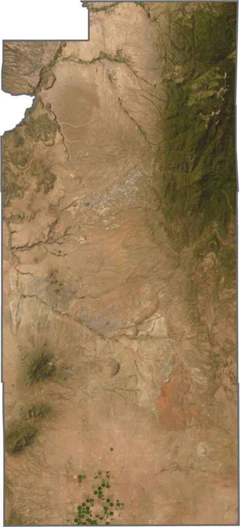
Santa Fe County isn’t perfectly symmetrical, but its outline comes close to a rectangle. It is especially long from north to south. The county does not border another state, and no major river forms its boundaries, except for a small section of the Rio Grande along the northwest corner.








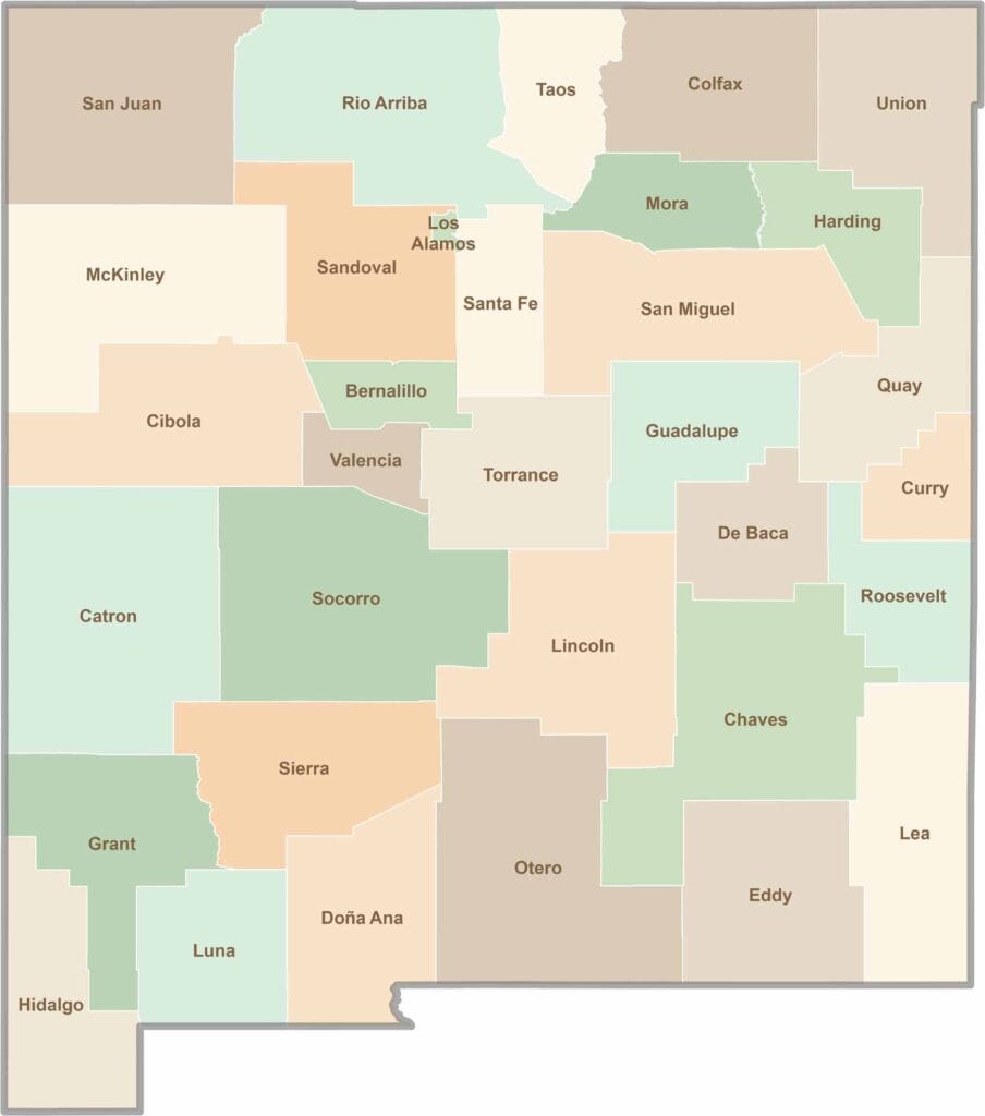
New Mexico’s 33 counties stretch from high desert landscapes to snow-capped mountain peaks. Each one has its own blend of cultures, scenery, and legends. One moment you could be exploring ancient ruins in McKinley County, and the next you might be stargazing beneath the wide-open skies of Hidalgo County.