
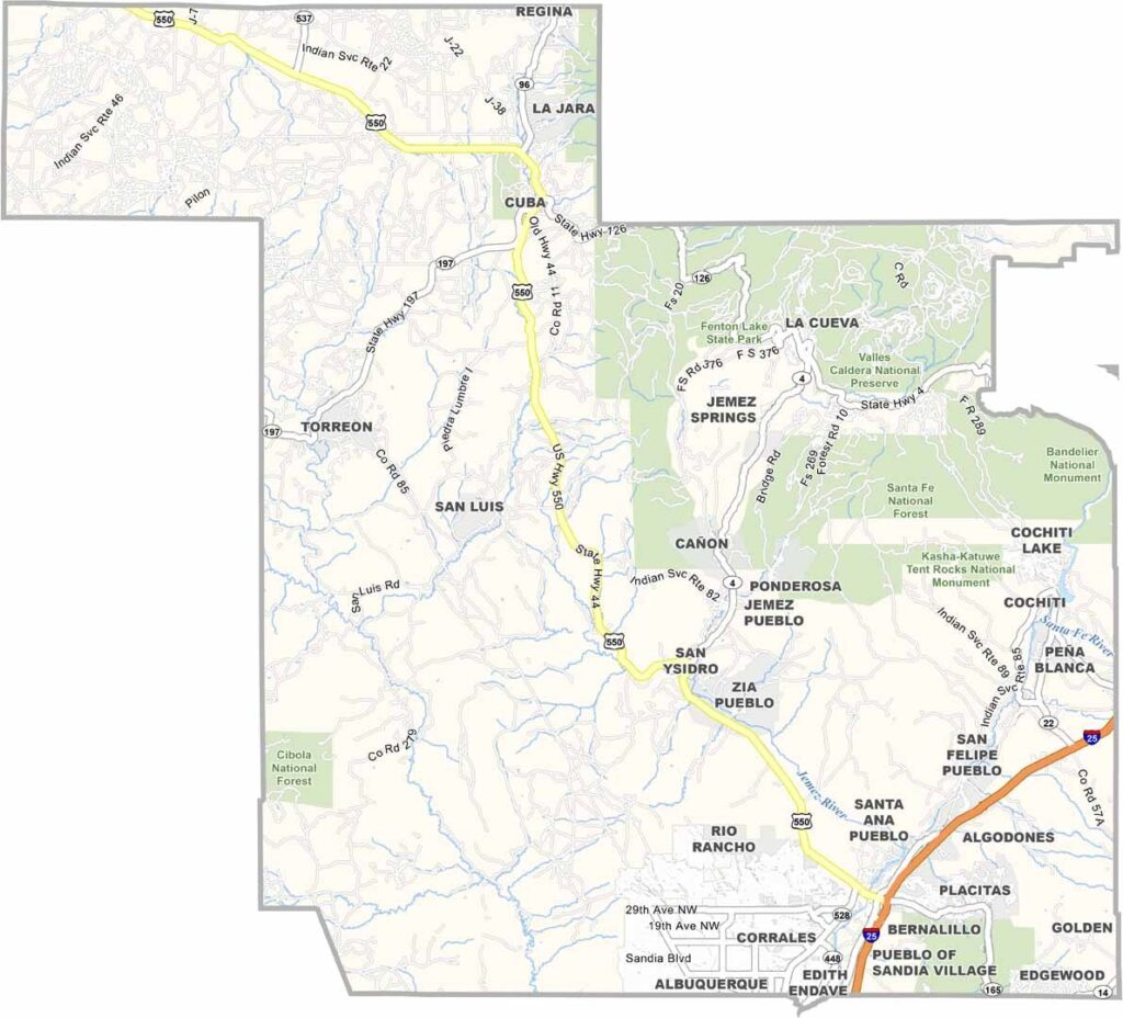
Sandoval County stretches from Albuquerque’s northern suburbs all the way to Cuba. It’s a mix of urban development and wide-open spaces, with the Rio Grande running through the middle.
Jemez Springs is tucked away in the mountains, attracting visitors who come to relax in its natural hot springs. The Coronado Historic Site is also located here, where the conquistador camped in 1540. Talk about history.
The county has strong connections to Native American culture, with several pueblos calling it home. Los Alamos National Laboratory is just next door. Outdoor recreation is also popular, from hiking in the Jemez Mountains to boating on Cochiti Lake. The county is home to a diverse mix of people.
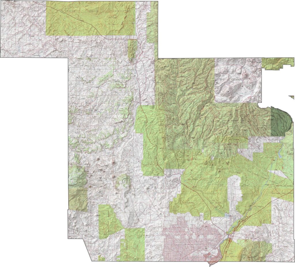
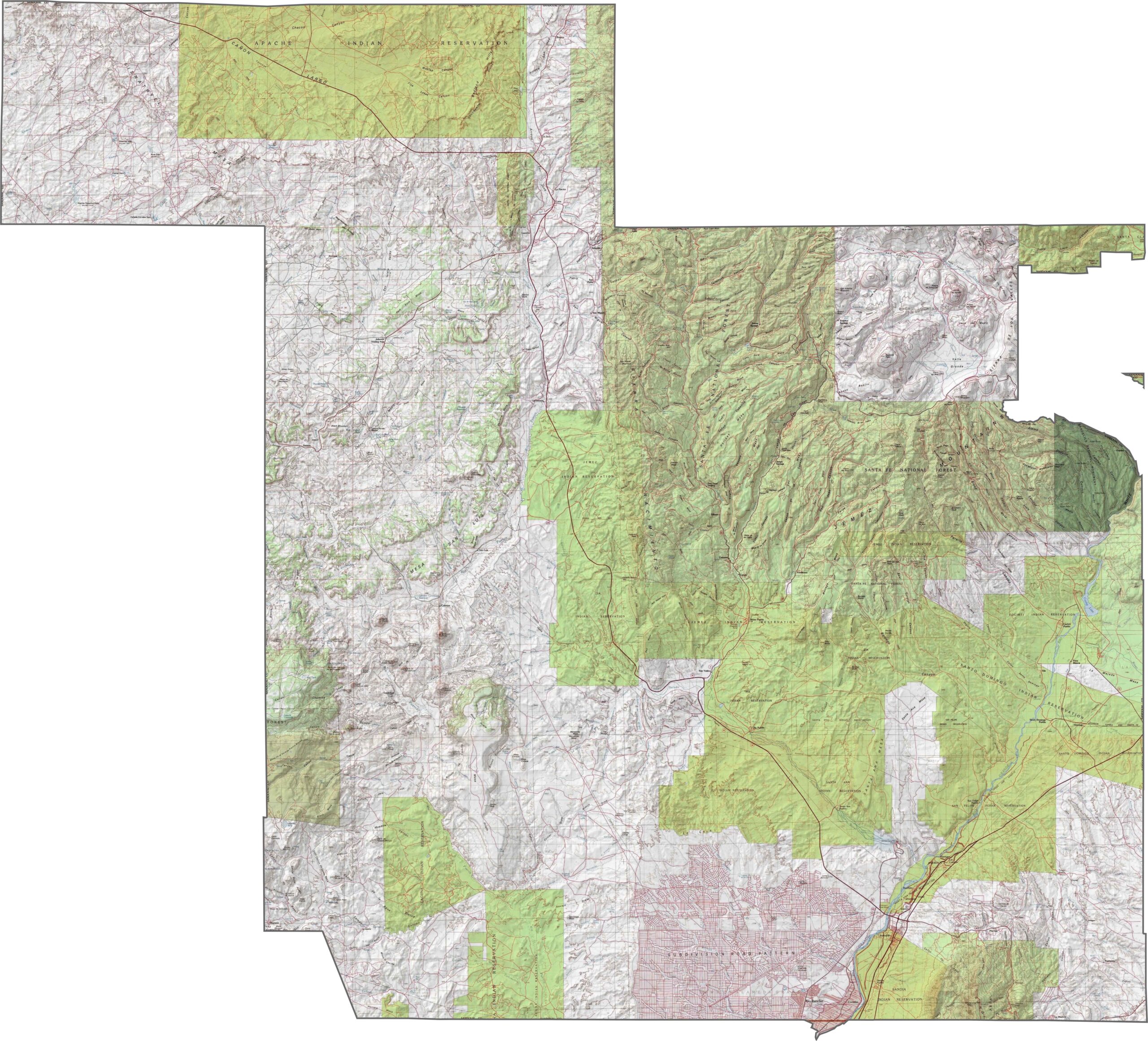
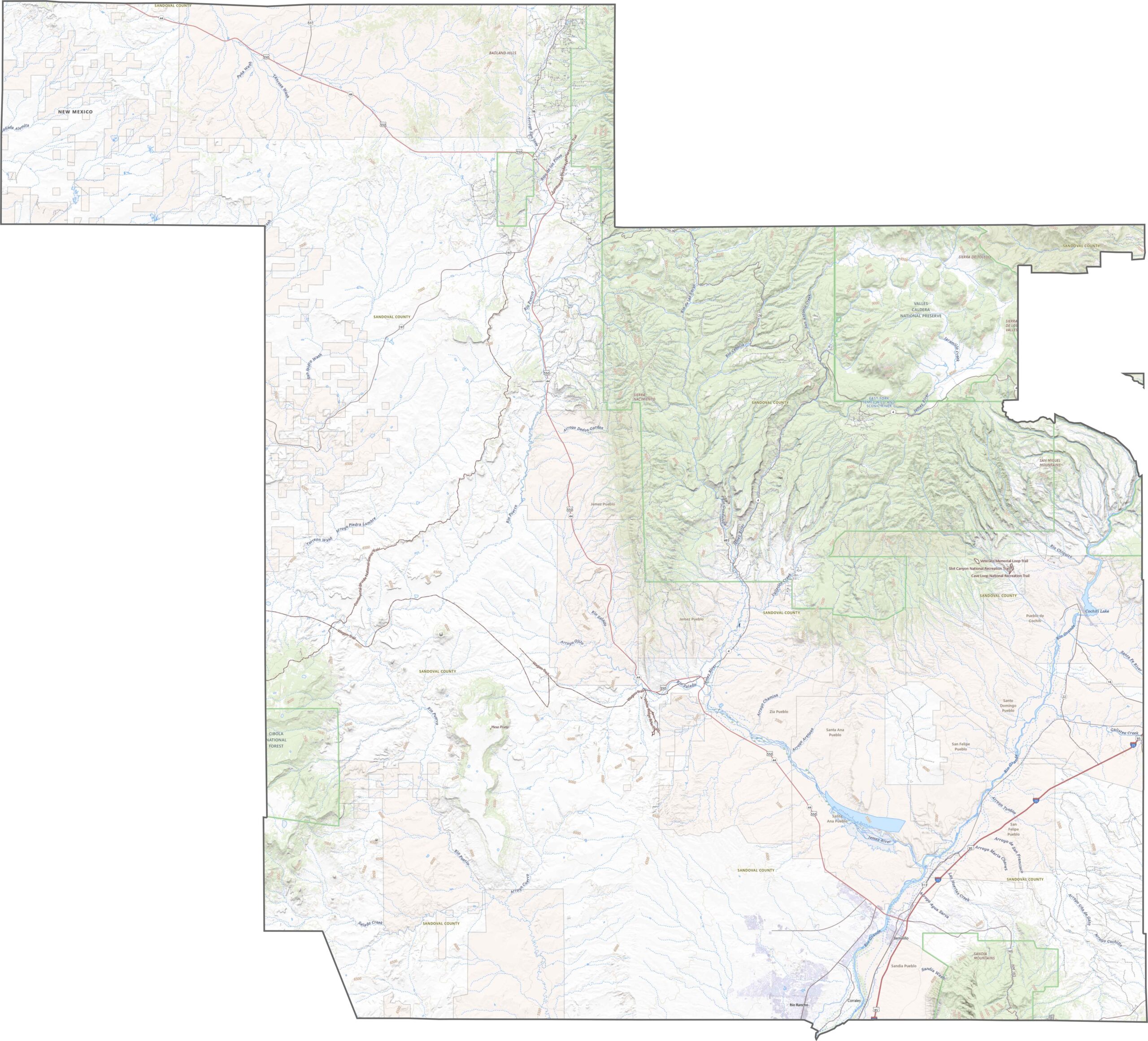
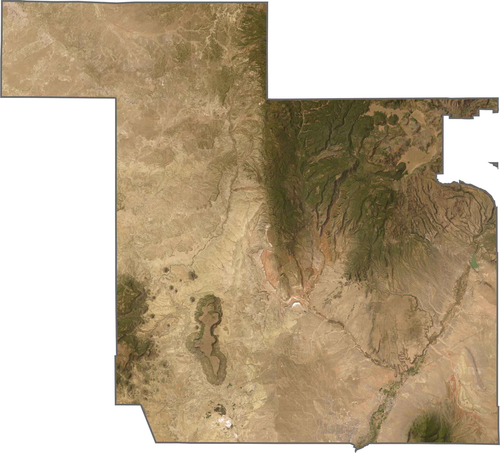
Sandoval County brings together many of New Mexico’s terrain types in one place. Volcanic cones rise in the west, while the Jemez Mountains tower over the north. Canyons cut through the landscape, and the flatter areas around Rio Rancho quickly give way to plateaus, valleys, and cliffs.
Highways in Sandoval County are relatively limited and spread out. U.S. 550 cuts diagonally across the county, moving quickly through open areas before slowing and winding into the mountains. I-25 runs along the southeastern edge, while NM 4 and NM 528 pass through pueblos, canyons, and mesas.
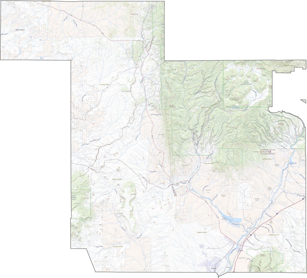
From above, Sandoval County looks like a geologist’s dream. Volcanic fields give way to greener landscapes around the Jemez Mountains, while the Rio Grande cuts through the area. Development extends from Albuquerque into Rio Rancho, but it ends sharply where the mesas begin.
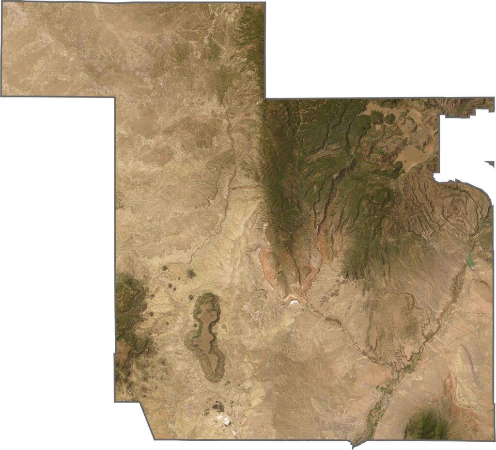
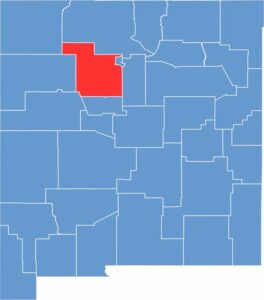
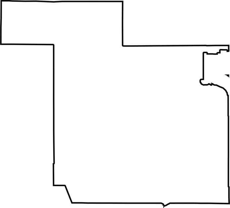
Sandoval County has an unusual shape that looks more like a jigsaw puzzle piece than a symmetrical outline. It stretches toward the northwest while remaining relatively square in the southern part. The county does not border another state and is completely enclosed within New Mexico.







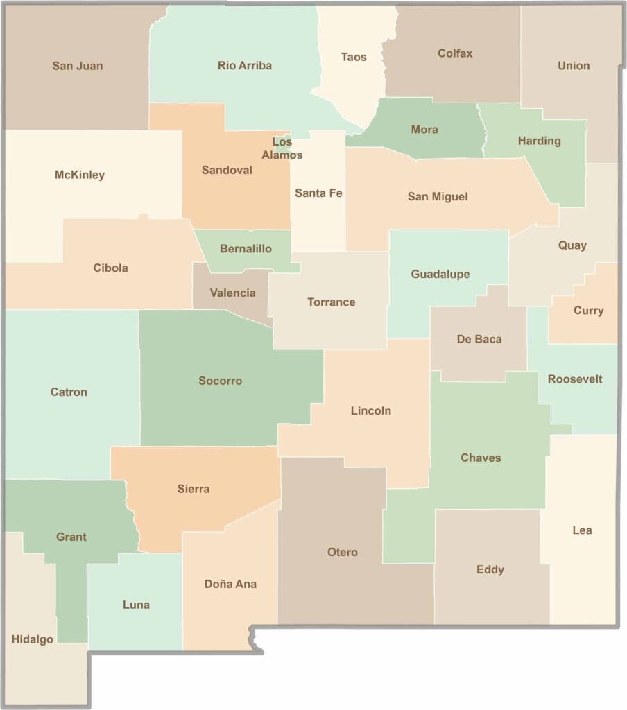
New Mexico’s 33 counties stretch from high desert landscapes to snow-capped mountain peaks. Each one has its own blend of cultures, scenery, and legends. One moment you could be exploring ancient ruins in McKinley County, and the next you might be stargazing beneath the wide-open skies of Hidalgo County.