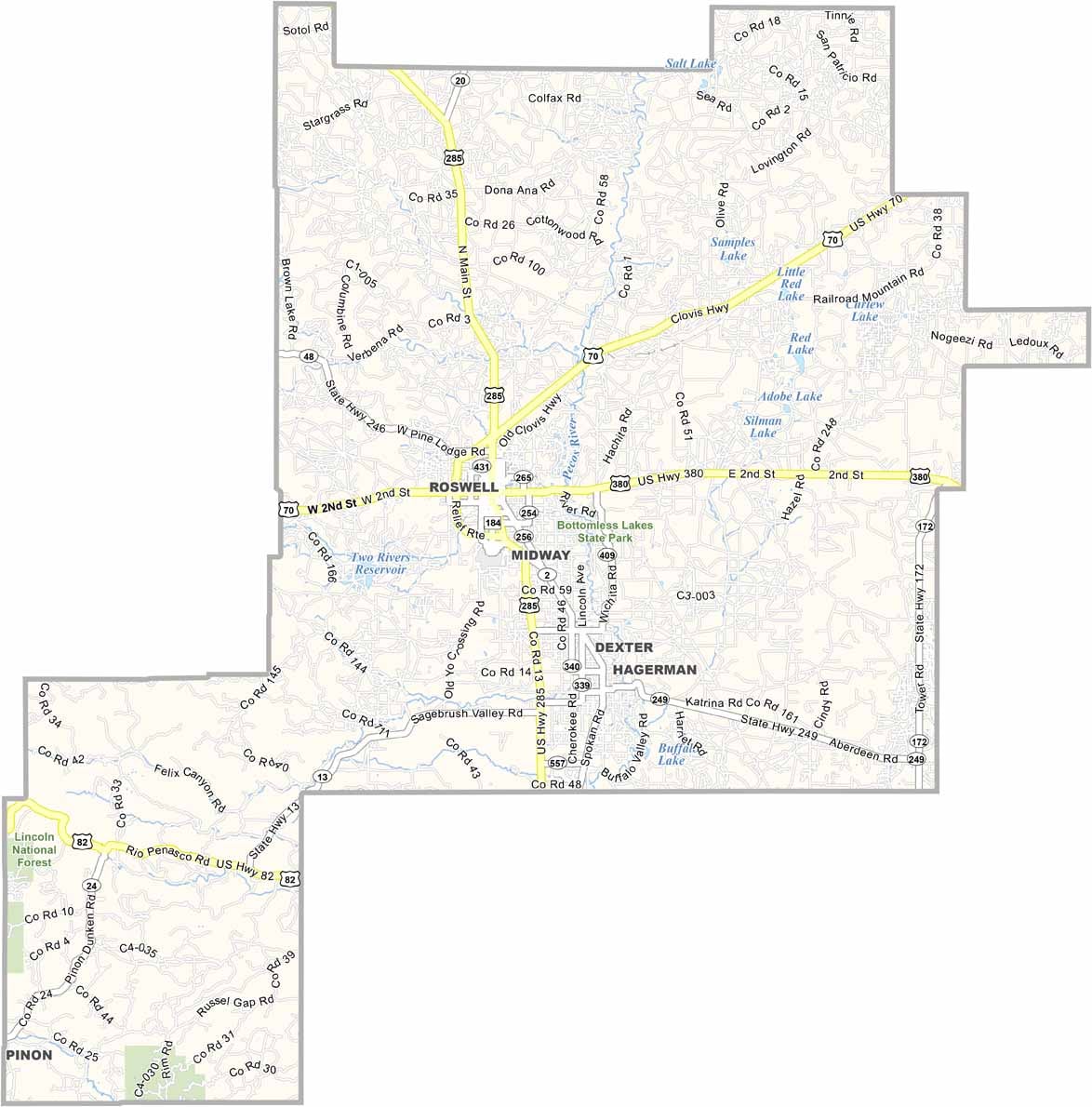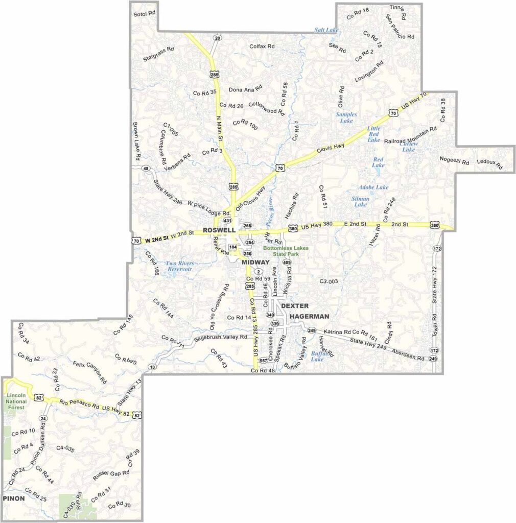
Chaves County Map, New Mexico

Chaves County, New Mexico

Chaves County sits in southeast New Mexico. Roswell, the county seat, is famous for its alleged UFO incident, but there's more to this place than little green men. It's farm country, with acres of pecan orchards and dairy farms.

The Pecos River flows through the county, bringing life to the semi-arid landscape. Bottomless Lakes State Park is a hidden gem, a series of deep, blue lakes in the middle of the desert. Weird, right?

The county has a strong military presence too, and you'll often see jets from nearby air force bases zooming overhead. Chaves County folks are proud of their agricultural roots, and they're hardworking and down-to-earth. It's a place where small-town charm meets wide-open skies.
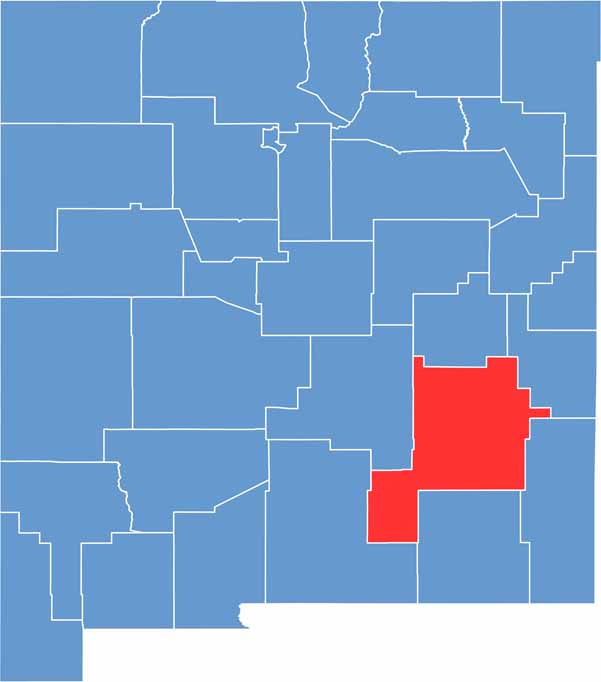

Chaves County location map of New Mexico
CategoryDetails
County NameChaves County
County SeatRoswell
EtymologyNamed after Jose Francisco Chaves, a 19th-century New Mexico territorial politician
Cities, Towns, and CommunitiesRoswell, Dexter, Hagerman, Lake Arthur
Interstates and HighwaysU.S. Route 70, U.S. Route 285, New Mexico State Road 2
FIPS Code35-005
Total Area (Land and Water)6,075 square miles (6,065 sq mi land, 10 sq mi water)
Adjacent Counties (and Direction)De Baca County (North), Roosevelt County (Northeast), Lea County (East), Eddy County (South), Otero County (Southwest), Lincoln County (West)
Time ZoneMountain Time Zone (MT)
StateNew Mexico
Coordinates33.3943° N, 104.5230° W
Major LandmarksInternational UFO Museum and Research Center, Bitter Lake National Wildlife Refuge, Bottomless Lakes State Park
PopulationApproximately 65,000
Scroll to Top