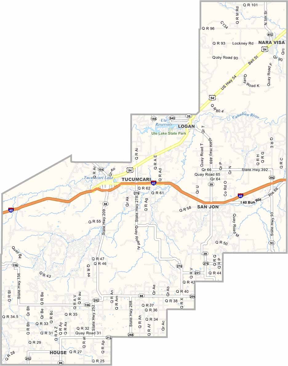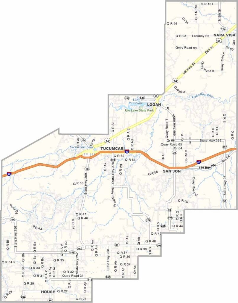
Quay County Map, New Mexico

Stone County, Missouri

Quay County lies out on the eastern plains of New Mexico, bordering Texas, where the short grass prairie meets the caprock escarpment.

Tucumcari, the main town and county seat, is a slice of Route 66 nostalgia, with neon signs and vintage motels lining the main drag. Ranching is big business here, and the county has a Wild West history.

Outlaws used to hide out in the nearby mesas, but these days it's quieter, though no less interesting. Ute Lake is a big draw for fishing and boating, and the Canadian River runs through the county, making it a birdwatcher's paradise.
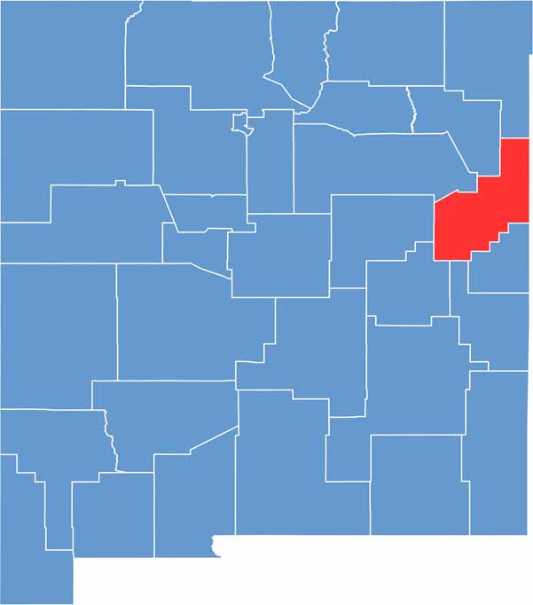

Quay County location map of New Mexico
CategoryDetails
County NameQuay County
County SeatTucumcari
EtymologyNamed after Matthew Quay, a U.S. Senator from Pennsylvania
Cities, Towns, and CommunitiesTucumcari, Logan, San Jon, House
Interstates and HighwaysInterstate 40, U.S. Route 54, U.S. Route 84
FIPS Code35-037
Total Area (Land and Water)2,882 square miles (2,874 sq mi land, 8 sq mi water)
Adjacent Counties (and Direction)Union County (North), Harding County (Northwest), San Miguel County (West), Guadalupe County (West), De Baca County (Southwest), Roosevelt County (South), Curry County (South), Deaf Smith County, Texas (Southeast), Oldham County, Texas (East), Hartley County, Texas (Northeast)
Time ZoneMountain Time Zone (MT)
StateNew Mexico
Coordinates35.1515° N, 103.5932° W
Major LandmarksUte Lake State Park, Tucumcari Historical Museum, Mesalands Dinosaur Museum
PopulationApproximately 8,100
Scroll to Top