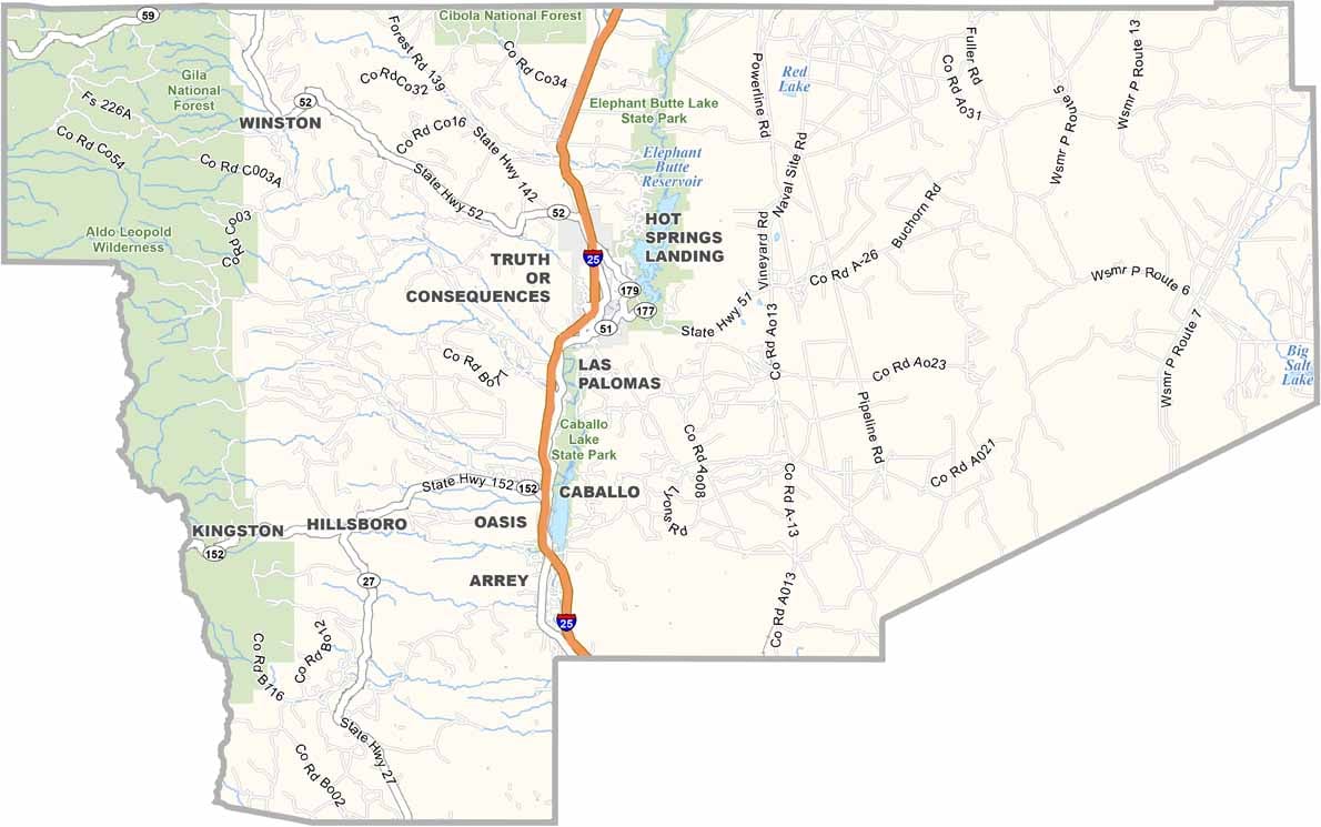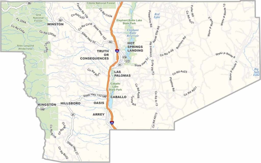
Sierra County Map, New Mexico

Sierra County County, New Mexico

Socorro County stretches from the Rio Grande Valley to the Plains of San Agustin in the heart of New Mexico. It’s the second-largest county in the state and has some serious science credentials. The Very Large Array, with its massive field of radio telescopes, is located here. It looks like something straight out of a sci-fi movie.

Socorro is the county seat and is home to New Mexico Tech, a highly regarded engineering school. But science isn’t the whole story. The county also has deep roots in Spanish colonial history. The name “Socorro” means “help” in Spanish, and legend says the Piro Indians helped hungry Spanish colonists.

Bosque del Apache National Wildlife Refuge is a major attraction, drawing thousands of sandhill cranes each winter. The Magdalena Mountains offer opportunities for hiking and camping, while Cibola National Forest covers much of the county’s southwestern area.
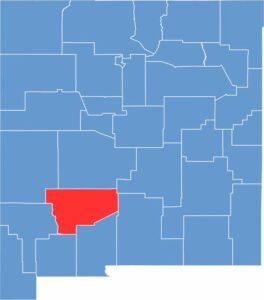

Sierra County location map of New Mexico
CategoryDetails
County NameSierra County
County SeatTruth or Consequences
EtymologyNamed after the Black Range mountains, originally called the Sierra Diablo
Cities, Towns, and CommunitiesTruth or Consequences, Elephant Butte, Williamsburg, Hillsboro, Chloride
Interstates and HighwaysInterstate 25, U.S. Route 85, New Mexico State Road 27
FIPS Code35-051
Total Area (Land and Water)4,236 square miles (4,179 sq mi land, 57 sq mi water)
Adjacent Counties (and Direction)Catron County (Northwest), Socorro County (North), Lincoln County (Northeast), Otero County (East), Doña Ana County (South), Luna County (South), Grant County (West)
Time ZoneMountain Time Zone (MT)
StateNew Mexico
Coordinates33.1750° N, 107.3554° W
Major LandmarksElephant Butte Reservoir, Geronimo Springs Museum, Spaceport America
PopulationApproximately 11,000
Scroll to Top