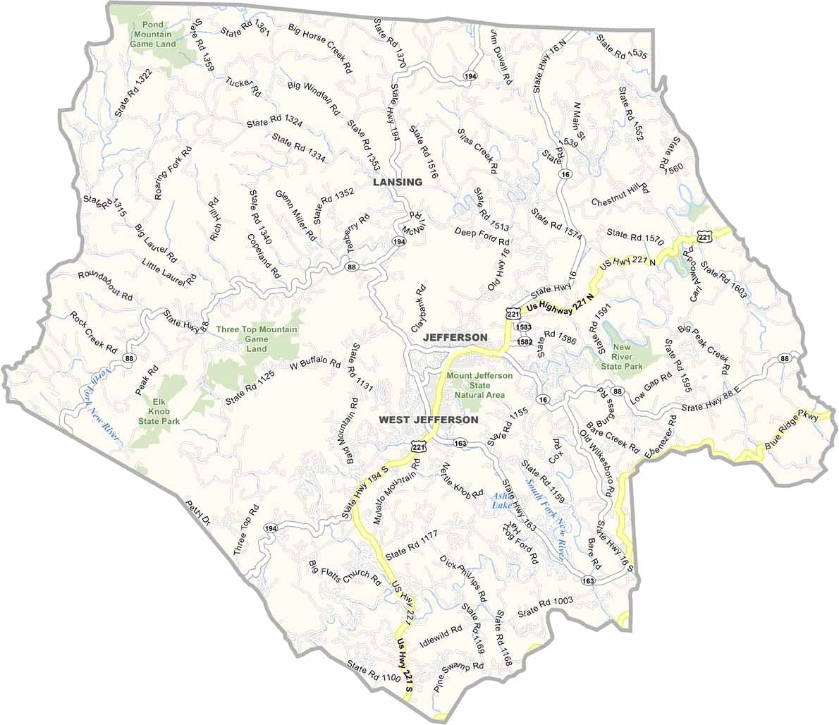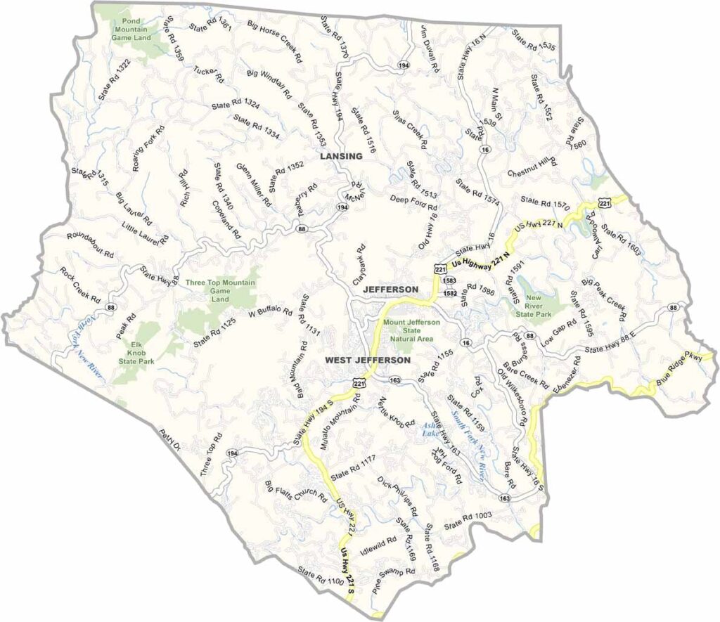
Ashe County Map, North Carolina

Ashe County, North Carolina

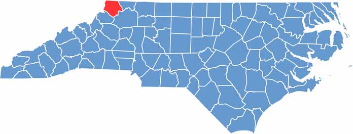
The Blue Ridge Mountains cradle Ashe County in their peaks and valleys. It sits in the northwestern corner of North Carolina, bordering Tennessee and Virginia. Mount Jefferson towers over the landscape with hiking trails and sweeping views.

West Jefferson is the largest town and has a thriving arts scene, with murals and galleries lining its streets. New River State Park offers canoeing and tubing, and the locals are friendly and down-to-earth.

Cheese is a big deal here, and the Ashe County Cheese plant has been operating since 1930. Christmas tree farms blanket the hillsides, and the county hosts a popular Christmas in July festival. Deer and wild turkeys are often spotted roaming the countryside.

CategoryDetails
County NameAshe County
County SeatJefferson
EtymologyNamed after Samuel Ashe, a judge and governor of North Carolina
Cities, Towns, and CommunitiesJefferson, West Jefferson, Lansing, Warrensville
Interstates and HighwaysU.S. Route 221, North Carolina State Route 16, North Carolina State Route 194
FIPS Code37-009
Total Area (Land and Water)427 square miles (425 sq mi land, 2 sq mi water)
Adjacent Counties (and Direction)Grayson County, Virginia (North), Alleghany County (East), Wilkes County (Southeast), Watauga County (Southwest), Johnson County, Tennessee (West)
Time ZoneEastern Time Zone (ET)
StateNorth Carolina
Coordinates36.4000° N, 81.5000° W
Major LandmarksMount Jefferson State Natural Area, New River, Jefferson National Forest
PopulationApproximately 30,000
Scroll to Top