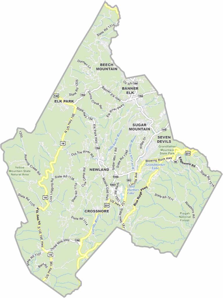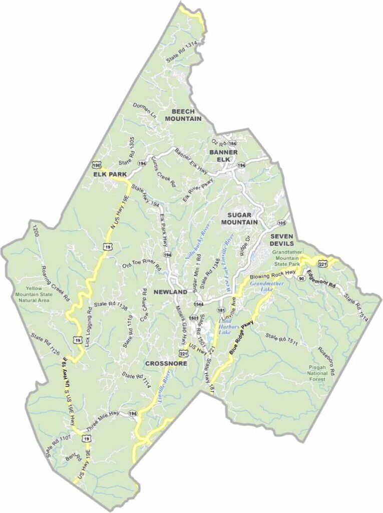
Avery County Map, North Carolina

Avery County, North Carolina

Avery County crowns the mountains of western North Carolina and is home to some of the highest peaks east of the Mississippi. Grandfather Mountain, with its mile-high swinging bridge, draws tourists all year.

Ski resorts in Banner Elk and Beech Mountain attract visitors in winter. Linville Falls thunders through a rugged gorge, and Elk River Falls offers a dramatic waterfall, cliffside trails, and a beach area.

The Avery County Fair showcases local crafts and agriculture each summer. The county is known for its Christmas tree farms and gem mining, and its residents are a mix of long-time locals and newcomers who fell in love with the area.
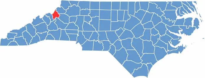

CategoryDetails
County NameAvery County
County SeatNewland
EtymologyNamed after Waightstill Avery
Cities, Towns, and CommunitiesNewland, Banner Elk, Beech Mountain, Linville
Interstates and HighwaysU.S. Route 19E, U.S. Route 221, North Carolina State Route 194
FIPS Code37-011
Total Area (Land and Water)247 square miles (247 sq mi land, 0 sq mi water)
Adjacent Counties (and Direction)Johnson County, Tennessee (North), Watauga County (Northeast), Caldwell County (East), Burke County (South), McDowell County (South), Mitchell County (West), Carter County, Tennessee (Northwest)
Time ZoneEastern Time Zone (ET)
StateNorth Carolina
Coordinates36.1160° N, 81.8980° W
Major LandmarksGrandfather Mountain, Linville Gorge, Banner Elk Ski Resort
PopulationApproximately 20,000
Scroll to Top