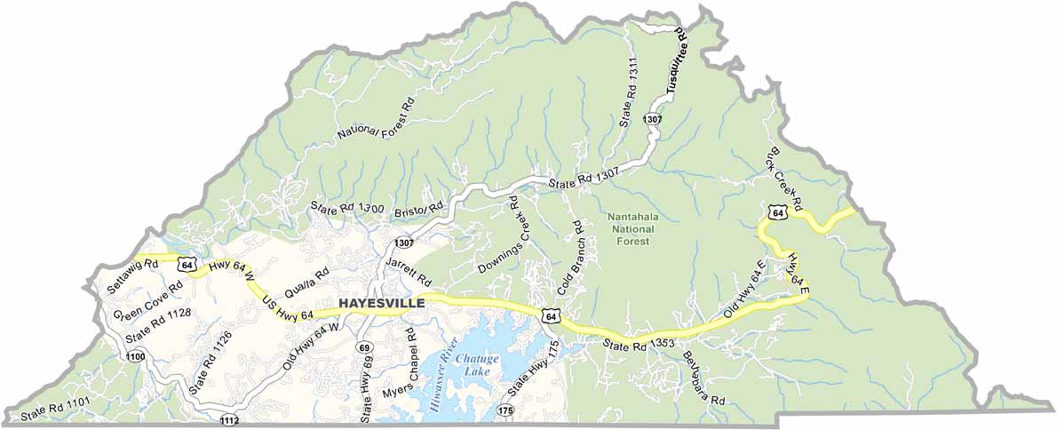
Clay County Map, North Carolina

Clay County, North Carolina

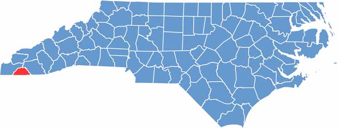
Clay County is perched in the southwestern corner of North Carolina, bordering Georgia. Mountains dominate the landscape, making it rugged country and beautiful too.

Hayesville, the county seat, is a town so small you might miss it on a map. That is part of its charm. It is quiet and peaceful, a place where you can really get away from it all.

Visitors come for the hiking trails and pristine lakes, and Lake Chatuge is a favorite spot for boating and fishing. The Cherokee once called this area home, and their influence is still felt today. Local artisans keep traditional crafts alive.

CategoryDetails
County NameClay County
County SeatHayesville
EtymologyNamed after Henry Clay, statesman and orator
Cities, Towns, and CommunitiesHayesville, Brasstown, Murphy, Warrior
Interstates and HighwaysU.S. Route 64, North Carolina State Route 175
FIPS Code37-043
Total Area (Land and Water)260 square miles (254 sq mi land, 6 sq mi water)
Adjacent Counties (and Direction)Cherokee County (Northwest), Macon County (East), Union County, Georgia (Southwest), Towns County, Georgia (South), Rabun County, Georgia (Southeast)
Time ZoneEastern Time Zone (ET)
StateNorth Carolina
Coordinates35.0620° N, 83.8300° W
Major LandmarksLake Chatuge, Hiwassee River, Nantahala National Forest
PopulationApproximately 13,000
Scroll to Top