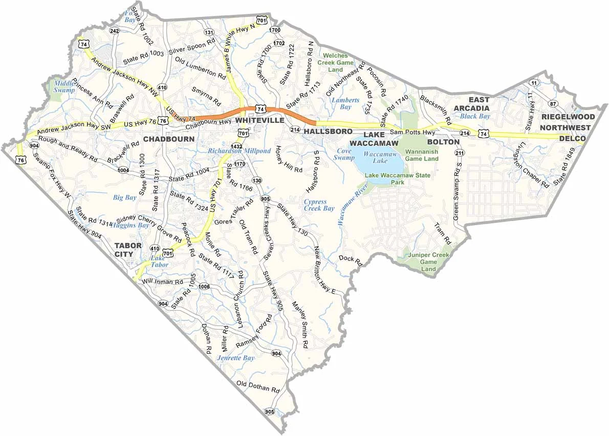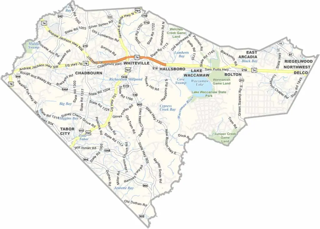
Columbus County Map, North Carolina

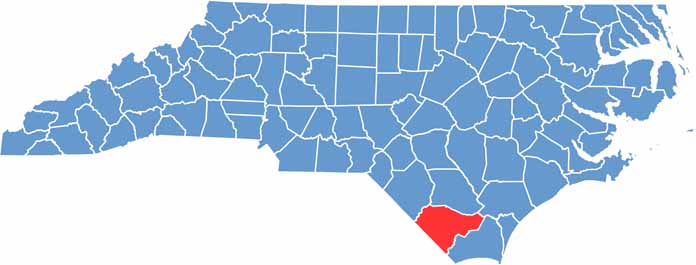
Columbus County, North Carolina

Columbus County sits in the southeastern part of North Carolina, a land of diverse landscapes. From swamps to farmland, it has a little bit of everything.

Whiteville, the county seat, is a small city with a big heart. The county is known for its agriculture, especially tobacco and blueberries.

Lake Waccamaw, a natural freshwater lake, is a local treasure and is home to several unique species found nowhere else in the world. The Waccamaw Game Land highlights the area’s wild side.

CategoryDetails
County NameColumbus County
County SeatWhiteville
EtymologyNamed after Christopher Columbus, the explorer
Cities, Towns, and CommunitiesWhiteville, Fair Bluff, Chadbourn, Riegelwood
Interstates and HighwaysU.S. Route 74, U.S. Route 76, North Carolina State Route 130
FIPS Code37-047
Total Area (Land and Water)936 square miles (923 sq mi land, 13 sq mi water)
Adjacent Counties (and Direction)Robeson County (Northwest), Bladen County (North), Pender County (Northeast), Dillon County, South Carolina (West), Horry County, South Carolina (Southwest), Brunswick County (Southeast)
Time ZoneEastern Time Zone (ET)
StateNorth Carolina
Coordinates34.3350° N, 78.7410° W
Major LandmarksLake Waccamaw, Columbus County Historical Museum
PopulationApproximately 60,000
Scroll to Top