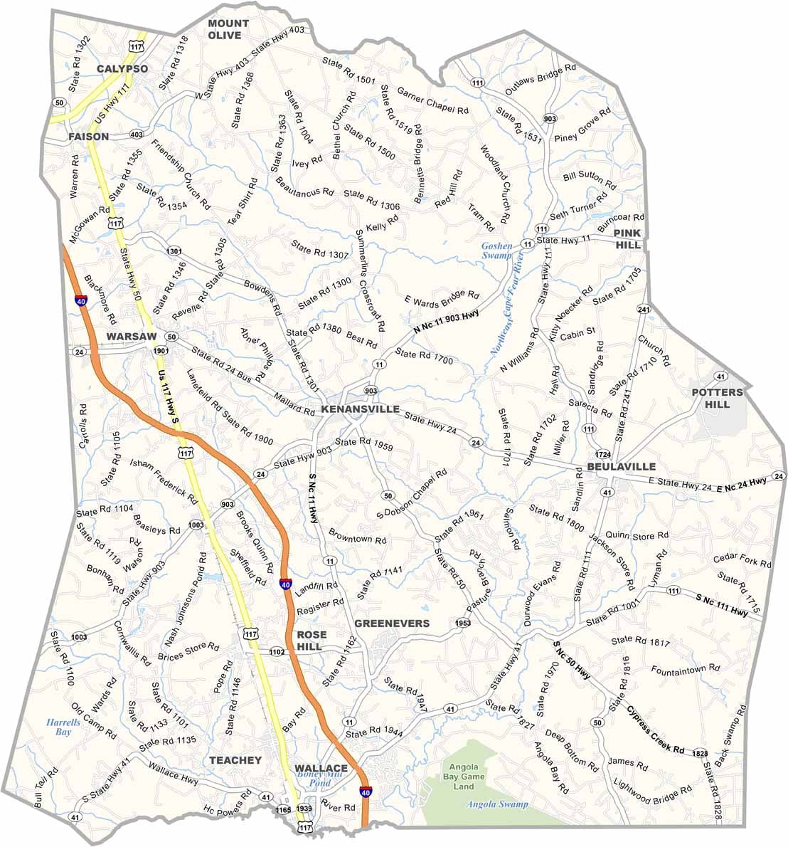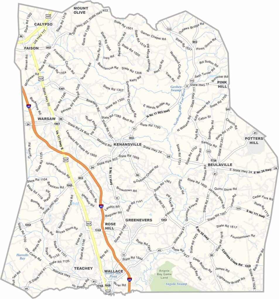
Duplin County Map, North Carolina

Duplin County, North Carolina

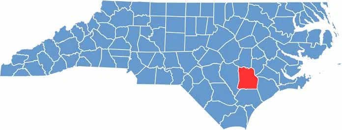
Duplin County is located in southeastern North Carolina. Hogs outnumber people here, and it is one of the top pork-producing counties in the entire country.

Kenansville, the county seat, feels like a step back in time with its historic downtown. Some of the best barbecue around can be found at modest, hole-in-the-wall joints.

Tobacco, corn, and soybeans are common crops. The annual North Carolina Muscadine Festival celebrates the area’s grape-growing heritage. The county is not flashy, and that is part of its appeal.

CategoryDetails
County NameDuplin County
County SeatKenansville
EtymologyNamed after Viscount Dupplin
Cities, Towns, and CommunitiesKenansville, Wallace, Warsaw, Magnolia, Rose Hill, Teachey
Interstates and HighwaysU.S. Route 117, U.S. Route 13, U.S. Route 41
FIPS Code37-061
Total Area (Land and Water)819 square miles (land and water)
Adjacent Counties (and Direction)Wayne County (North), Lenoir County (Northeast), Jones County (East), Onslow County (East), Pender County (South), Sampson County (West)
Time ZoneEastern Time Zone
StateNorth Carolina
Coordinates34.9936° N, 77.9570° W
Major LandmarksDuplin Winery, Liberty Hall, and the Wallace Depot Historic District
PopulationApproximately 59,000
Scroll to Top