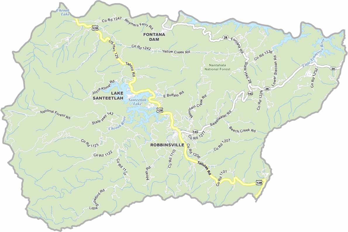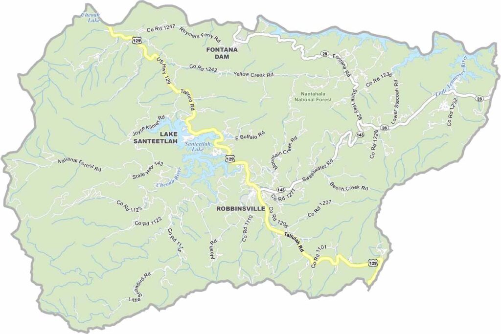
Graham County Map, North Carolina

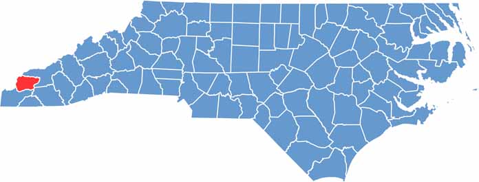
Graham County, North Carolina

Graham County is pure Appalachian beauty, tucked into the far western corner of North Carolina and a playground for anyone who loves the outdoors. Nantahala National Forest covers much of the county.

Fontana Lake was created by damming the Little Tennessee River and now forms the northern border, offering excellent boating and fishing. Robbinsville, the county seat, is the only incorporated town and is small but full of character.

The county’s remoteness has helped preserve Cherokee culture, and the native language can still be heard here. The Stecoah Valley Cultural Arts Center keeps Appalachian traditions alive through music, crafts, and more. The Road to Nowhere, an unfinished highway project, is also found here and has an oddly beautiful appeal.

CategoryDetails
County NameGraham County
County SeatRobbinsville
EtymologyNamed after William Alexander Graham, a United States Senator and governor of North Carolina
Cities, Towns, and CommunitiesRobbinsville, Topton, Lake Santeetlah
Interstates and HighwaysU.S. Route 129, U.S. Route 74
FIPS Code37-075
Total Area (Land and Water)516 square miles (land and water)
Adjacent Counties (and Direction)Blount County, Tennessee (North), Swain County (Northeast), Macon County (Southeast), Cherokee County (South), Monroe County, Tennessee (West)
Time ZoneEastern Time Zone
StateNorth Carolina
Coordinates35.3264° N, 83.7894° W
Major LandmarksNantahala National Forest, Lake Santeetlah
PopulationApproximately 8,000
Scroll to Top