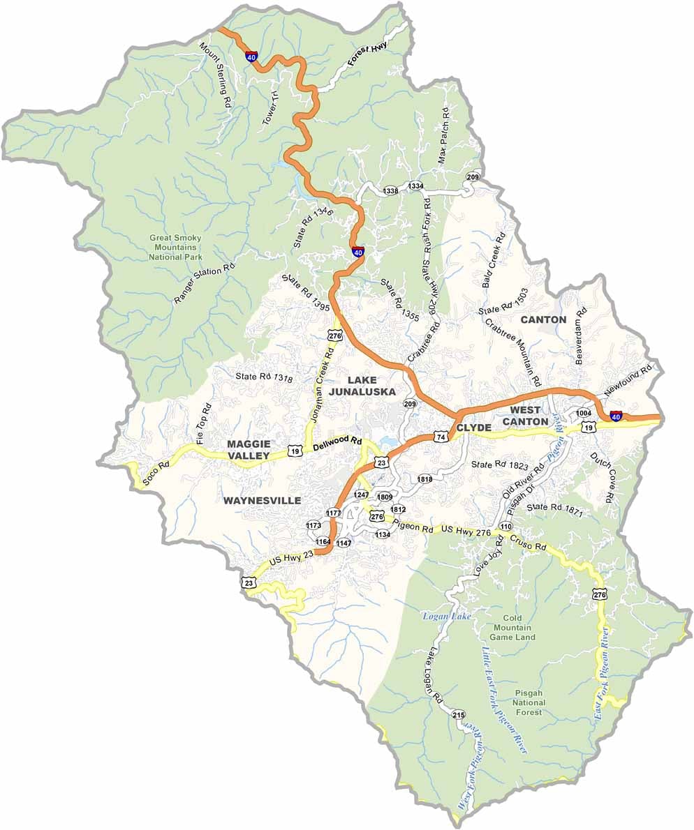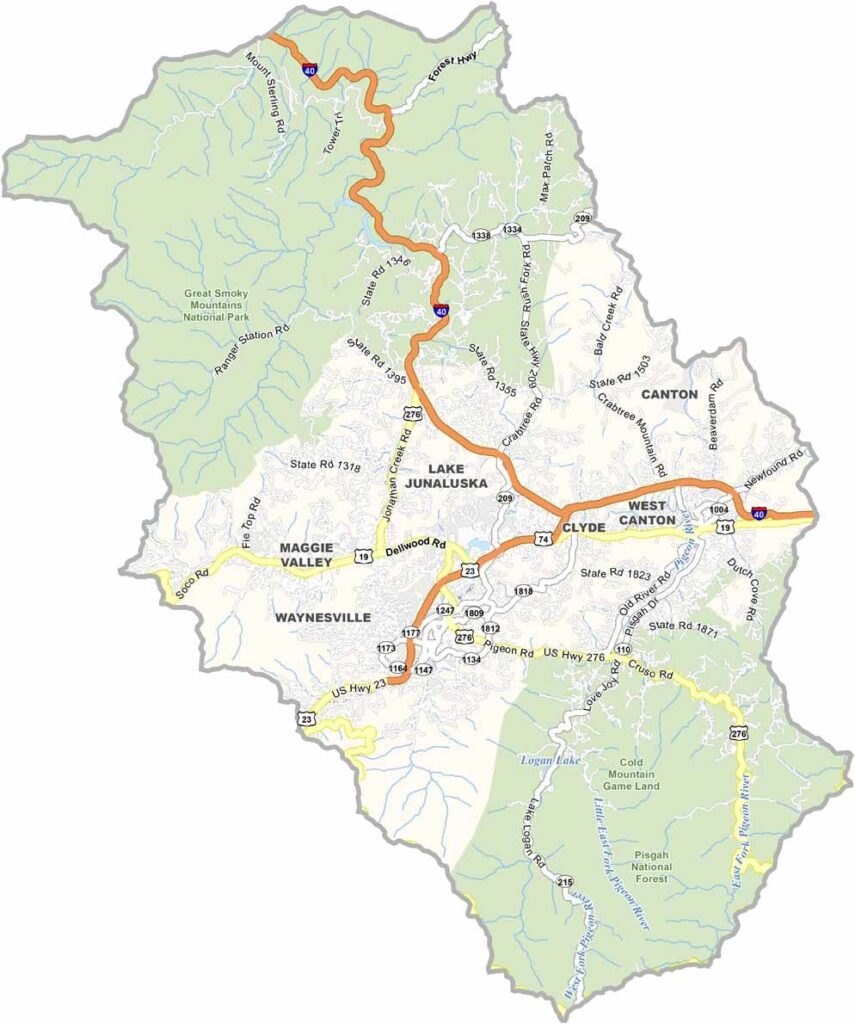
Haywood County Map, North Carolina

Haywood County, North Carolina

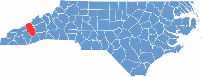
Haywood County is dominated by mountains, set in western North Carolina in the heart of the Appalachians. Waynesville, the largest town, feels like a mountain getaway.

The Blue Ridge Parkway passes through the county with views of the surrounding peaks. Outdoor activities are a big deal here, and hiking, fishing, and skiing are popular pastimes.

The county has a lively arts scene, with galleries and craft shops in almost every town. Cataloochee Valley, part of Great Smoky Mountains National Park, lies within the county and is home to a herd of elk.

CategoryDetails
County NameHaywood County
County SeatWaynesville
EtymologyNamed after John Haywood, a North Carolina State Treasurer
Cities, Towns, and CommunitiesWaynesville, Clyde, Canton, Maggie Valley
Interstates and HighwaysU.S. Route 23, U.S. Route 74
FIPS Code37-087
Total Area (Land and Water)555 square miles (land and water)
Adjacent Counties (and Direction)Sevier County, Tennessee (Northwest), Cocke County, Tennessee (North), Madison County (Northeast), Swain County (West), Buncombe County (East), Jackson County (Southwest), Transylvania County (Southeast)
Time ZoneEastern Time Zone
StateNorth Carolina
Coordinates35.4869° N, 82.9854° W
Major LandmarksGreat Smoky Mountains National Park, Blue Ridge Parkway
PopulationApproximately 62,000
Scroll to Top