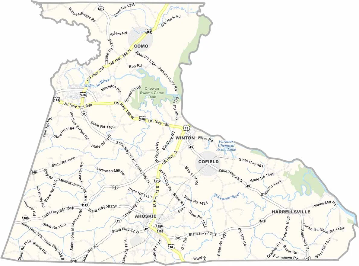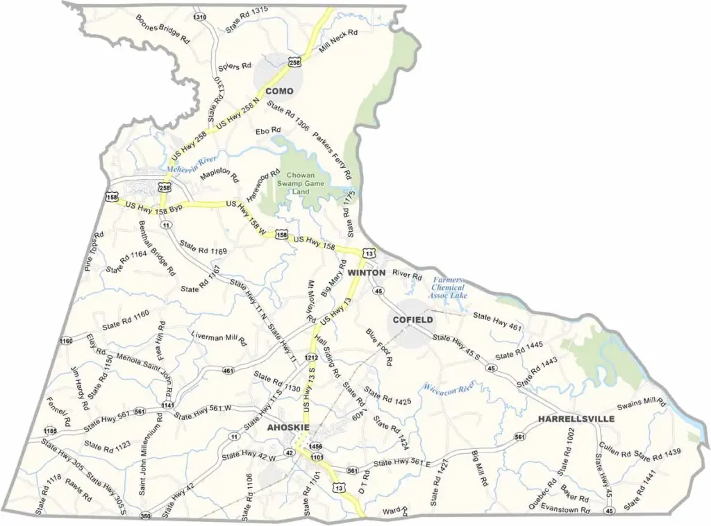
Hertford County Map, North Carolina

Hertford County, North Carolina

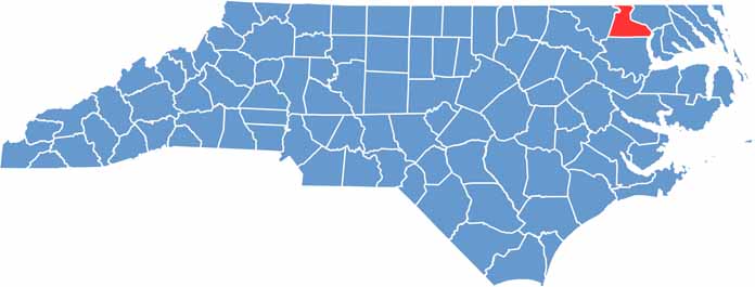
Hertford County lies in the northeastern part of North Carolina, bordering Virginia. It is steeped in history, and Winton, the county seat, is one of the oldest towns in the state.

Chowan University, the oldest Baptist school in North Carolina, is located in Murfreesboro. The county also played a role in the Underground Railroad.

The Meherrin River forms the western border, while the Chowan River marks the eastern boundary. The county has weathered fires and floods. Agriculture is also important here, with peanuts and cotton as major crops.

CategoryDetails
County NameHertford County
County SeatWinton
EtymologyNamed after Francis Seymour-Conway, 1st Marquess of Hertford
Cities, Towns, and CommunitiesWinton, Ahoskie, Cofield, Murfreesboro
Interstates and HighwaysU.S. Route 158, U.S. Route 13
FIPS Code37-091
Total Area (Land and Water)359 square miles (land and water)
Adjacent Counties (and Direction)Southampton County, Virginia (North), Gates County (East), Chowan County (Southeast), Bertie County (South), Northampton County (West)
Time ZoneEastern Time Zone
StateNorth Carolina
Coordinates36.2971° N, 77.0941° W
Major LandmarksRoanoke-Chowan Heritage Center, Winton Historic District
PopulationApproximately 359,000
Scroll to Top