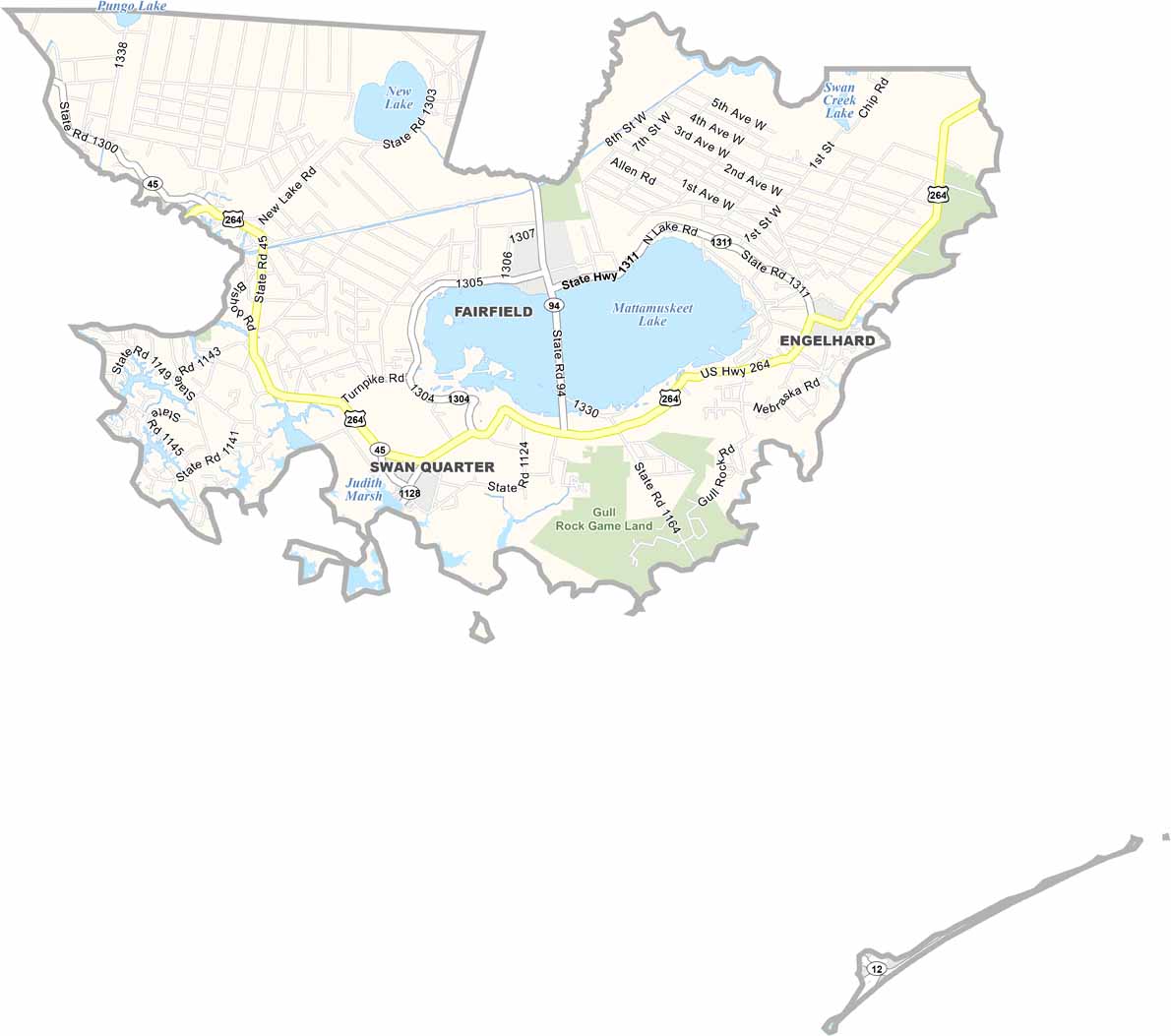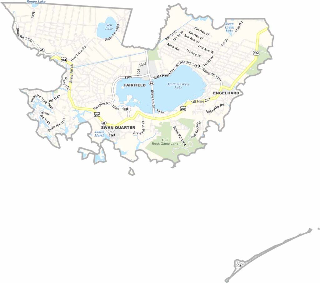
Hyde County Map, North Carolina

Hyde County, North Carolina

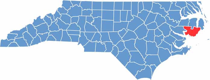
Water shapes everything in Hyde County, which lies in eastern North Carolina along the Pamlico Sound. The county takes in part of the Outer Banks, including Ocracoke Island and its famous lighthouse, which can only be reached by ferry.

The mainland is sparsely populated. Swan Quarter, the county seat, is a tiny coastal village. Mattamuskeet National Wildlife Refuge is a major attraction and is home to the largest natural lake in North Carolina.

Commercial fishing is a big part of the local economy. The county has a rich maritime history, which visitors can explore at the Ocracoke Preservation Museum. Hyde County is off the beaten path, and that is part of its appeal.

CategoryDetails
County NameHyde County
County SeatSwan Quarter
EtymologyNamed after Edward Hyde, a governor of colonial North Carolina
Cities, Towns, and CommunitiesSwan Quarter, Engelhard, Ocracoke
Interstates and HighwaysU.S. Route 264, U.S. Route 64
FIPS Code37-095
Total Area (Land and Water)1,400 square miles (land and water)
Adjacent Counties (and Direction)Washington County (Northwest), Tyrrell County (North), Dare County (East), Beaufort County (West), Carteret County (Southwest)
Time ZoneEastern Time Zone
StateNorth Carolina
Coordinates35.4866° N, 76.3673° W
Major LandmarksOcracoke Island, Lake Mattamuskeet
PopulationApproximately 5,000
Scroll to Top