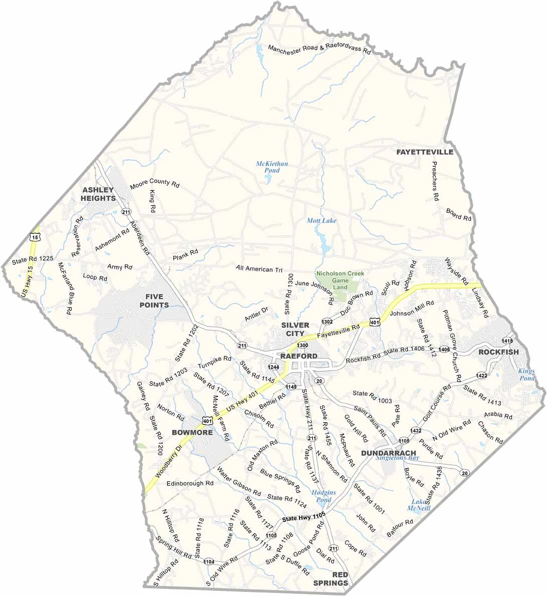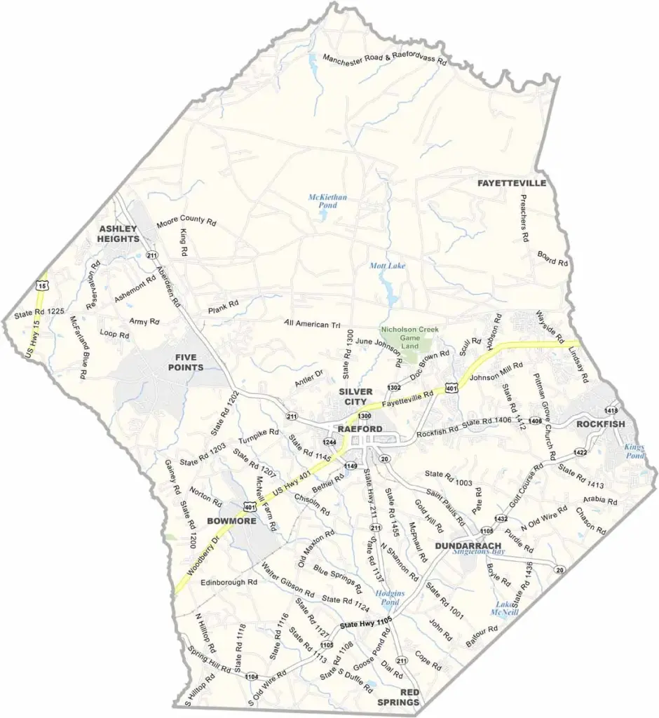
Hoke County Map, North Carolina

Hoke County, North Carolina

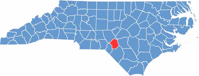
Hoke County lies in the Sandhills region of south-central North Carolina. It is one of the state’s younger counties, formed in 1911. Raeford, the county seat, is a small town with a friendly atmosphere.

The northern half of the county is heavily forested and tied to the military, while the southern half is rural farmland stretching out under wide Carolina skies. Raeford serves as the central hub of the county.

The county has strong military ties because it borders Fort Bragg, one of the largest military installations in the world. Agriculture plays a major role in the local economy. The Lumber River runs through the southern part of the county and is a popular spot for canoeing and fishing.

CategoryDetails
County NameHoke County
County SeatRaeford
EtymologyNamed after Robert Hoke, a Confederate general during the American Civil War
Cities, Towns, and CommunitiesRaeford, Aberdeen, Fort Bragg
Interstates and HighwaysU.S. Route 401, U.S. Route 211, U.S. Route 15
FIPS Code37-093
Total Area (Land and Water)391 square miles (land and water)
Adjacent Counties (and Direction)Moore County (Northwest), Richmond County (West), Cumberland County (East), Scotland County (Southwest), Robeson County (South)
Time ZoneEastern Time Zone
StateNorth Carolina
Coordinates34.9871° N, 79.2088° W
Major LandmarksFort Bragg, Hoke County Courthouse
PopulationApproximately 60,000
Scroll to Top