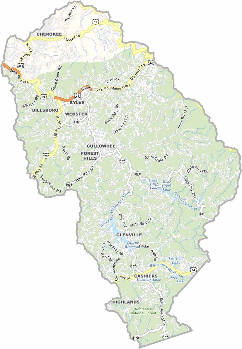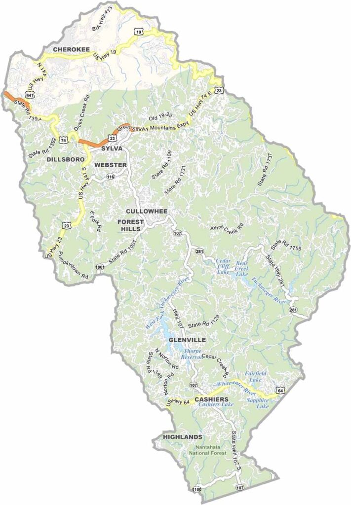
Jackson County Map, North Carolina

Jackson County, North Carolina

The mountains of western North Carolina cradle Jackson County, a place of great natural beauty. Sylva, the county seat, is a picturesque mountain town.

The county includes part of Great Smoky Mountains National Park, and residents and visitors enjoy hiking, fishing, and camping. The Blue Ridge Parkway passes through the county, offering breathtaking mountain views.

Western Carolina University is located in Cullowhee. The county has a rich Cherokee heritage, which visitors can explore at the Museum of the Cherokee Indian. Whitewater rafting on the Tuckasegee River is popular.

CategoryDetails
County NameJackson County
County SeatSylva
EtymologyNamed after Andrew Jackson, the 7th President of the United States
Cities, Towns, and CommunitiesSylva, Cullowhee, Dillsboro, Webster
Interstates and HighwaysU.S. Route 74, U.S. Route 441
FIPS Code37-099
Total Area (Land and Water)491 square miles (land and water)
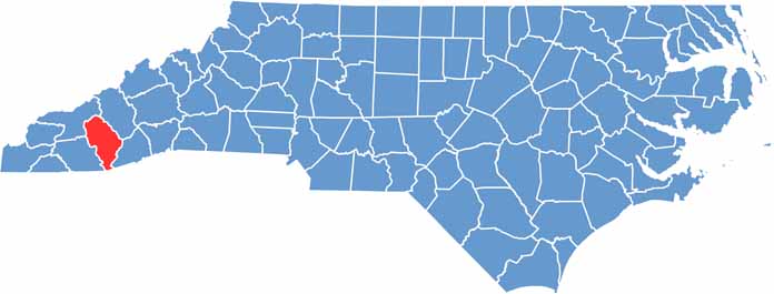
Adjacent Counties (and Direction)Haywood County (Northeast), Transylvania County (East), Oconee County, South Carolina (South), Macon County (West), Swain County (Northwest)
Time ZoneEastern Time Zone
StateNorth Carolina
Coordinates35.3694° N, 83.2166° W
Major LandmarksGreat Smoky Mountains National Park, Nantahala National Forest
PopulationApproximately 45,000
Scroll to Top