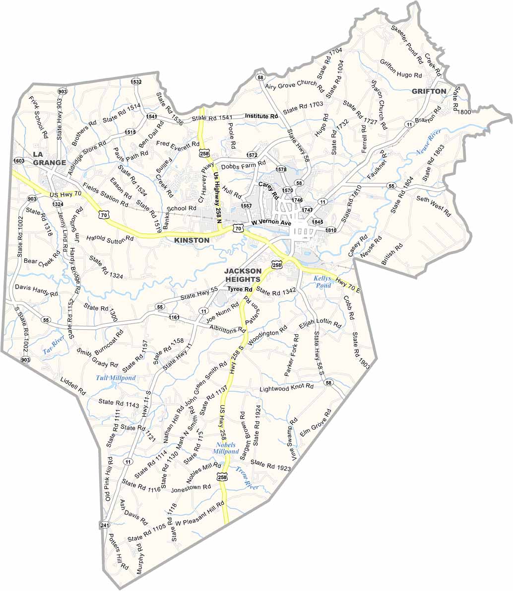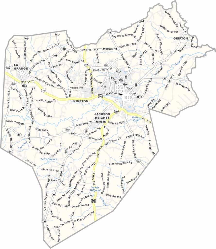
Lenoir County Map, North Carolina

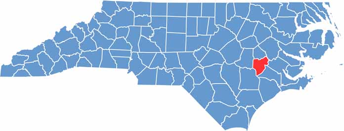
Lenoir County, North Carolina

Lenoir County is in the coastal plains of eastern North Carolina. Kinston, the county seat, is making a name for itself in the culinary world. It’s home to Chef & the Farmer, featured on the PBS show “A Chef’s Life.”

The Neuse River flows through the county, with great spots for fishing and boating. Lenoir County has a rich history. The CSS Neuse, a Civil War ironclad, was built here, and you can still see its remains at a local museum.

The county is known for its agriculture, especially tobacco. It also has some great BBQ joints. Lenoir County has a little bit of everything, and its history and great outdoor hangouts make it somewhere interesting to dive into.

CategoryDetails
County NameLenoir County
County SeatKinston
EtymologyNamed after William Lenoir, a captain in the American Revolutionary War
Cities, Towns, and CommunitiesKinston, La Grange, Pink Hill, Grifton
Interstates and HighwaysU.S. Route 70, U.S. Route 258
FIPS Code37-107
Total Area445 square miles (land and water)
Adjacent CountiesGreene County (North), Pitt County (Northeast), Craven County (East), Jones County (Southeast), Duplin County (Southwest), Wayne County (West)
Time ZoneEastern Time Zone
StateNorth Carolina
Coordinates35.2721° N, 77.5820° W
Major LandmarksNeuseway Nature Park, Kinston Historic District
PopulationApproximately 55,000
Scroll to Top