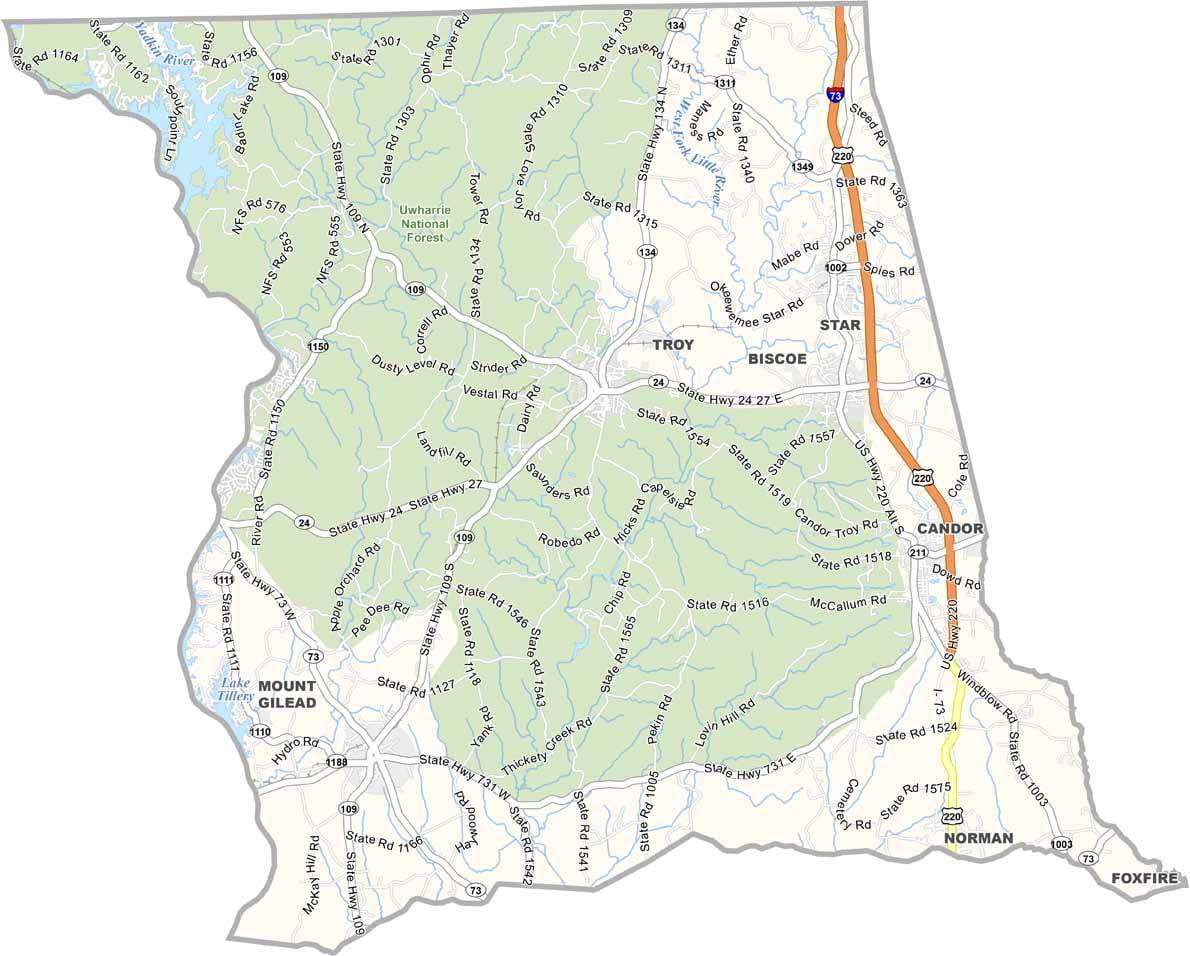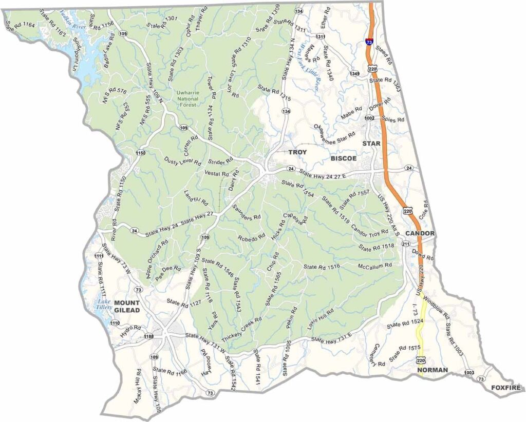
Montgomery County Map, North Carolina

Montgomery County, North Carolina

Montgomery County lies in the heart of North Carolina’s Piedmont region. The Uwharrie National Forest covers much of its land, and Biscoe and Troy are its main towns.

The county is known for its excellent hunting and fishing, and locals enjoy watersports on Lake Tillery. It’s a great spot for star-gazing, away from city lights.

This place has a rich history of gold mining. The area has some of the oldest rock formations in North America. Pottery workshops attract art lovers. Montgomery County offers a mix of rural feel and outdoor adventure.

CategoryDetails
County NameMontgomery County
County SeatTroy
EtymologyNamed after Richard Montgomery, a major general during the Revolutionary War
Cities, Towns, and CommunitiesTroy, Biscoe, Mount Gilead, Candor
Interstates and HighwaysU.S. Route 220, U.S. Route 24
FIPS Code37-123
Total Area504 square miles (land and water)
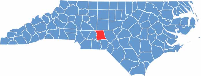
Adjacent CountiesDavidson County (Northwest), Randolph County (Northeast), Stanly County (West), Moore County (East), Anson County (Southwest), Richmond County (South)
Time ZoneEastern Time Zone
StateNorth Carolina
Coordinates35.3875° N, 80.0972° W
Major LandmarksUwharrie National Forest, Morrow Mountain State Park
PopulationApproximately 29,000
Scroll to Top