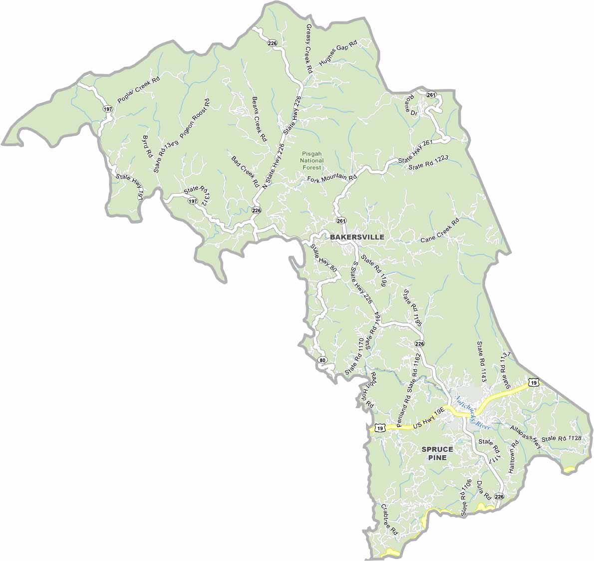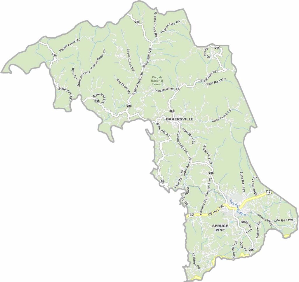
Mitchell County Map, North Carolina

Mitchell County, North Carolina

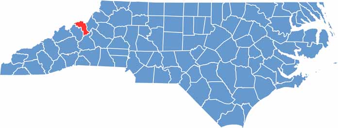
Mitchell County sits in the western part of North Carolina, bordering Tennessee. The Blue Ridge Mountains dominate the landscape here, and the county is close to Mount Mitchell, the highest peak east of the Mississippi River.

Pisgah National Forest basically occupies the entire county, and hiking trails crisscross the area. Locals take pride in their mountain heritage. Spruce Pine, the largest town, has a thriving arts scene.

The county is named after Elisha Mitchell, who died measuring the mountain’s height. Gem mining is popular with tourists, and trout fishing in crystal-clear streams draws anglers from far and wide.

Category Details
County Name Stone County
County Seat Galena
Cities, Towns, and Communities Branson West, Kimberling City, Reeds Spring, Crane, Galena, Blue Eye, Cape Fair
Interstates and Highways MO 13, MO 76, MO 86
Etymology Named for William Stone, first elected judge of Taney County
FIPS Code 29-209
Total Area (Land and Water) 511 square miles (Land: 464 sq mi, Water: 47 sq mi)
Time Zone Central Time Zone (CT)
State Missouri
Coordinates 36.7658° N, 93.4313° W
Major Landmarks Table Rock Lake, Talking Rocks Cavern, Silver Dollar City, Shepherd of the Hills Fish Hatchery
Adjacent Counties (and Direction) Christian County (North), Taney County (East), Carroll County, Arkansas (South), Barry County (West), Lawrence County (Northwest)
Population Approximately 32,000
Scroll to Top