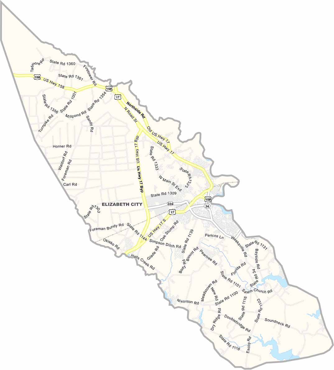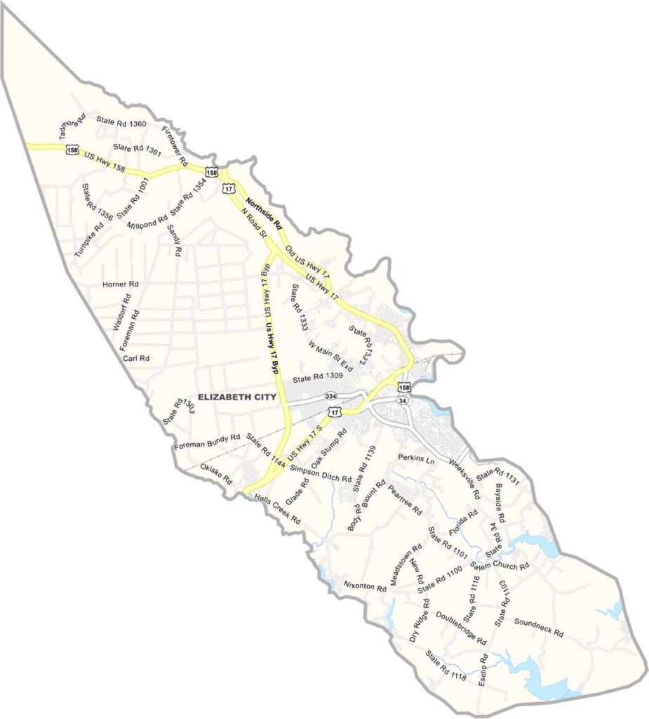
Pasquotank County Map, North Carolina

Pasquotank County, North Carolina

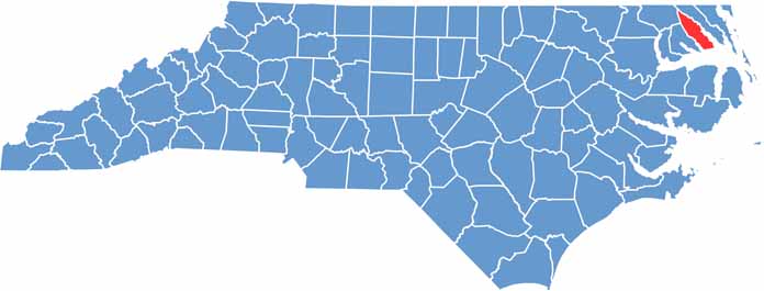
Pasquotank County is located in the northeast corner of North Carolina along the Albemarle Sound. It’s sandwiched between the Pasquotank River and Little River. Elizabeth City, the county seat, has a beautiful waterfront.

The area is known for its historic architecture, and you can take a ghost tour through the old neighborhoods. The Museum of the Albemarle in Elizabeth City showcases its regional history.

Locals enjoy boating on the river and nearby sounds. The county has strong ties to the Coast Guard, and farmland stretches across the western part of the county. Pasquotank County blends small-city amenities with rural people.

CategoryDetails
County NamePasquotank County
County SeatElizabeth City
EtymologyNamed after the Indian word "pasketanki" which meant "where the current of the stream divides or forks"
Cities, Towns, and CommunitiesElizabeth City, Weeksville, South Mills
Interstates and HighwaysU.S. Route 17, U.S. Route 158
FIPS Code37-139
Total Area289 square miles (land and water)
Adjacent CountiesGates County (Northwest), Camden County (East), Tyrrell County (South), Perquimans County (Southwest)
Time ZoneEastern Time Zone
StateNorth Carolina
Coordinates36.2955° N, 76.2910° W
Major LandmarksElizabeth City Waterfront, Dismal Swamp Canal
PopulationApproximately 40,000
Scroll to Top