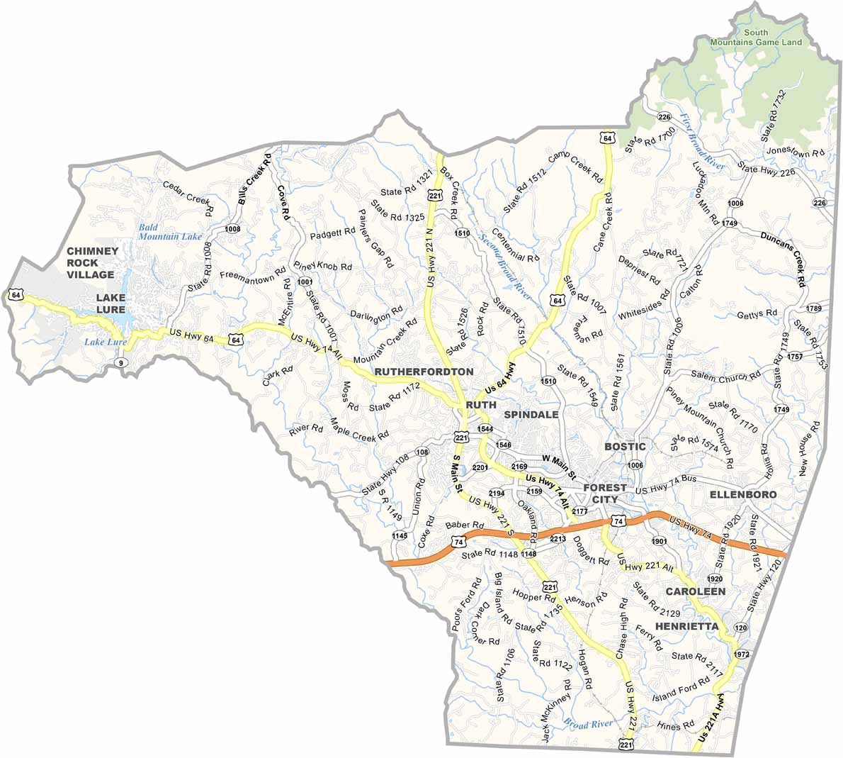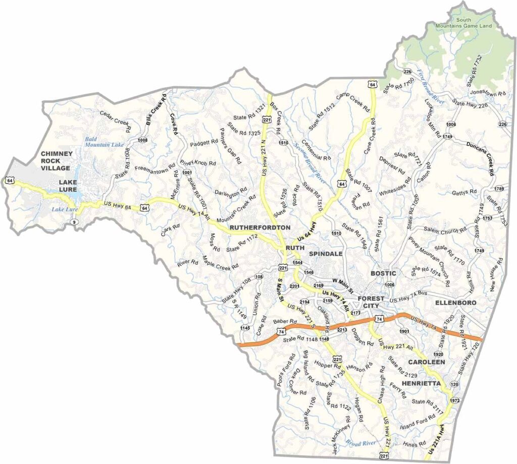
Rutherford County Map, North Carolina

Rutherford County, North Carolina

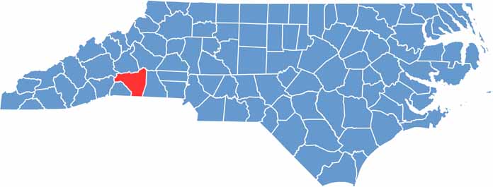
Rutherford County sits in the western part of North Carolina, right at the foot of the Blue Ridge Mountains. It’s a place with deep roots, and it borders South Carolina directly to the south.

The county has been around since 1779, named after General Griffith Rutherford of the American Revolution. Forests cover much of the land, with small towns scattered throughout. Forest City is the largest, with about 7,000 people.

The county has some quirky claims to fame. It’s home to the Bostic Lincoln Center, which, although now closed, argues that Abraham Lincoln was born here, not Kentucky. Chimney Rock State Park is a big draw for tourists, and the views are spectacular. People come from all over to hike and climb.

CategoryDetails
County NameRutherford County
County SeatRutherfordton
EtymologyNamed after Griffith Rutherford, an officer in the American Revolutionary War
Cities, Towns, and CommunitiesRutherfordton, Forest City, Spindale, Lake Lure
Interstates and HighwaysInterstate 40, U.S. Route 74, U.S. Route 221
FIPS Code37-161
Total Area566 square miles (land and water)
Adjacent CountiesMcDowell County (North), Burke County (Northeast), Cleveland County (East), Cherokee County, South Carolina (South), Spartanburg County, South Carolina (South), Polk County (Southwest), Henderson County (West), Buncombe County (Northwest)
Time ZoneEastern Time Zone
StateNorth Carolina
Coordinates35.3695° N, 81.9728° W
Major LandmarksChimney Rock State Park, Lake Lure
PopulationApproximately 70,000
Scroll to Top