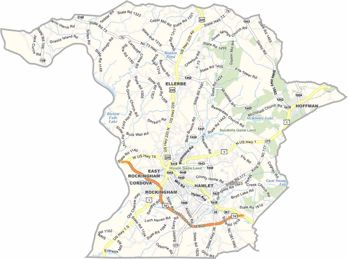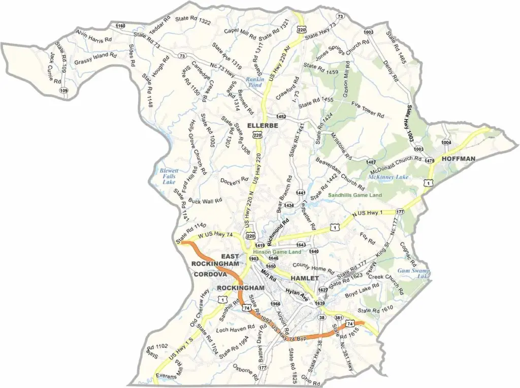
Richmond County Map, North Carolina

Richmond County, North Carolina

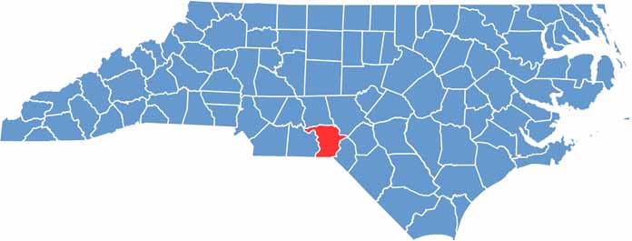
Situated in the Sandhills region of south-central North Carolina, Richmond County is unique. The county has deep roots in stock car racing, and many NASCAR legends hail from here.

Rockingham, the county seat, was once a textile powerhouse and is now reinventing itself. Visitors love the nearby Pee Dee National Wildlife Refuge, a sanctuary for birds and other wildlife.

The area’s sandy soil is perfect for growing peaches, so local farms produce some of the sweetest fruit you’ll ever taste. Richmond County has a strong military connection, and nearby Fort Bragg brings economic benefits.

CategoryDetails
County NameRichmond County
County SeatRockingham
EtymologyNamed after Charles Lennox, 3rd Duke of Richmond
Cities, Towns, and CommunitiesRockingham, Hamlet, Ellerbe, Cordova
Interstates and HighwaysU.S. Route 74, U.S. Route 220
FIPS Code37-153
Total Area474 square miles (land and water)
Adjacent CountiesMontgomery County (North), Moore County (Northeast), Anson County (West), Marlboro County, South Carolina (South), Scotland County (Southeast)
Time ZoneEastern Time Zone
StateNorth Carolina
Coordinates34.9306° N, 79.7715° W
Major LandmarksRichmond County Museum, Lake Norman
PopulationApproximately 44,000
Scroll to Top