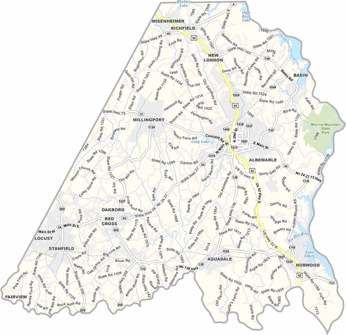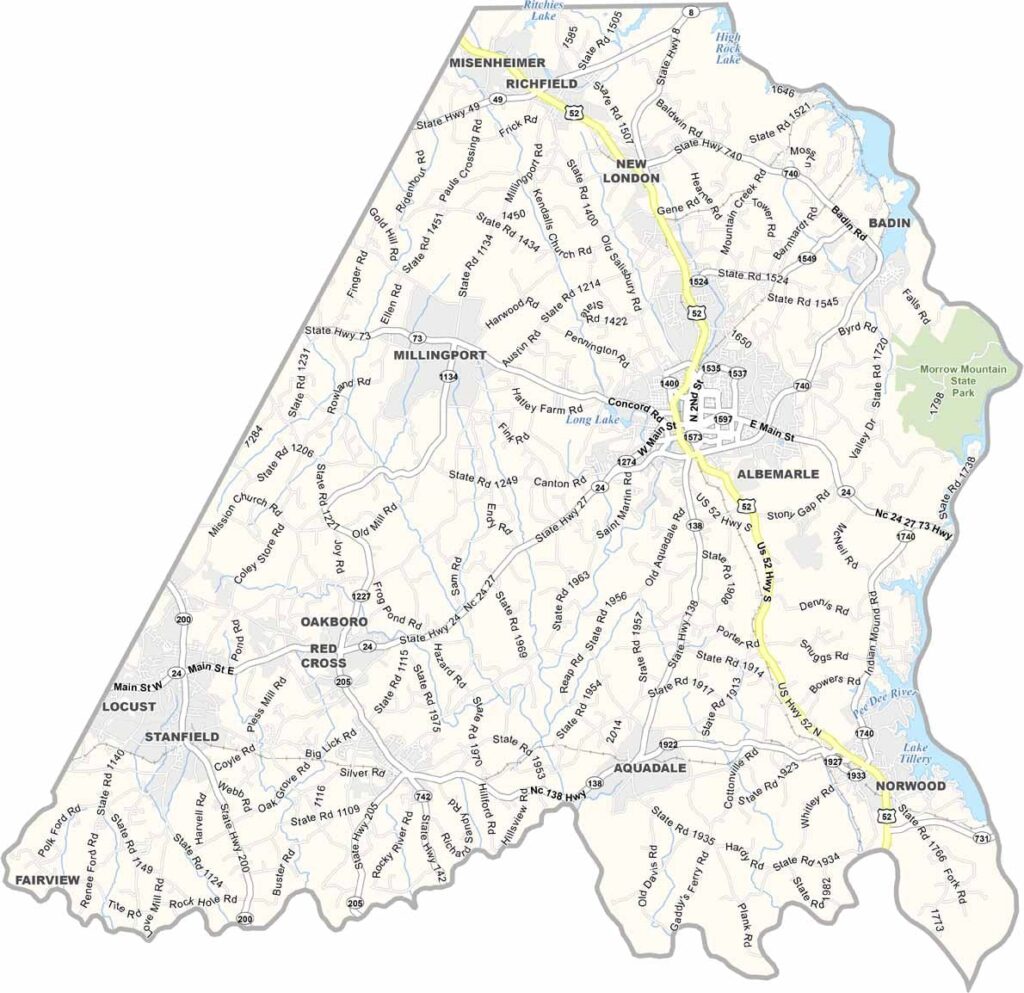
Stanly County Map, North Carolina

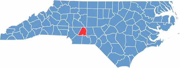
Stanly County, North Carolina

Stanly County is right in the heart of North Carolina. The Uwharrie Mountains run through it, and they are some of the oldest mountains in North America, which includes Morrow Mountain State Park.

Albemarle, the county seat, is the most populous city here and is full of locally owned shops and restaurants. City Lake Park is just to the west for a quiet picnic.

The area has a rich history. Gold was discovered here back in 1799, so you can still pan for gold in some spots. Hiking trails crisscross the park, and the views from the top are incredible. Lake Tillery is perfect for fishing and boating.

CategoryDetails
County NameStanly County
County SeatAlbemarle
EtymologyNamed after John Stanly, a United States Congressman
Cities, Towns, and CommunitiesAlbemarle, Locust, Oakboro, Norwood
Interstates and HighwaysU.S. Route 52, U.S. Route 24, U.S. Route 27
FIPS Code37-167
Total Area400 square miles (land and water)
Adjacent CountiesRowan County (North), Davidson County (Northeast), Montgomery County (East), Anson County (South), Union County (South), Richmond County (Southeast), Cabarrus County (West)
Time ZoneEastern Time Zone
StateNorth Carolina
Coordinates35.3577° N, 80.1957° W
Major LandmarksMorrow Mountain State Park, Stanly County Museum
PopulationApproximately 70,000
Scroll to Top