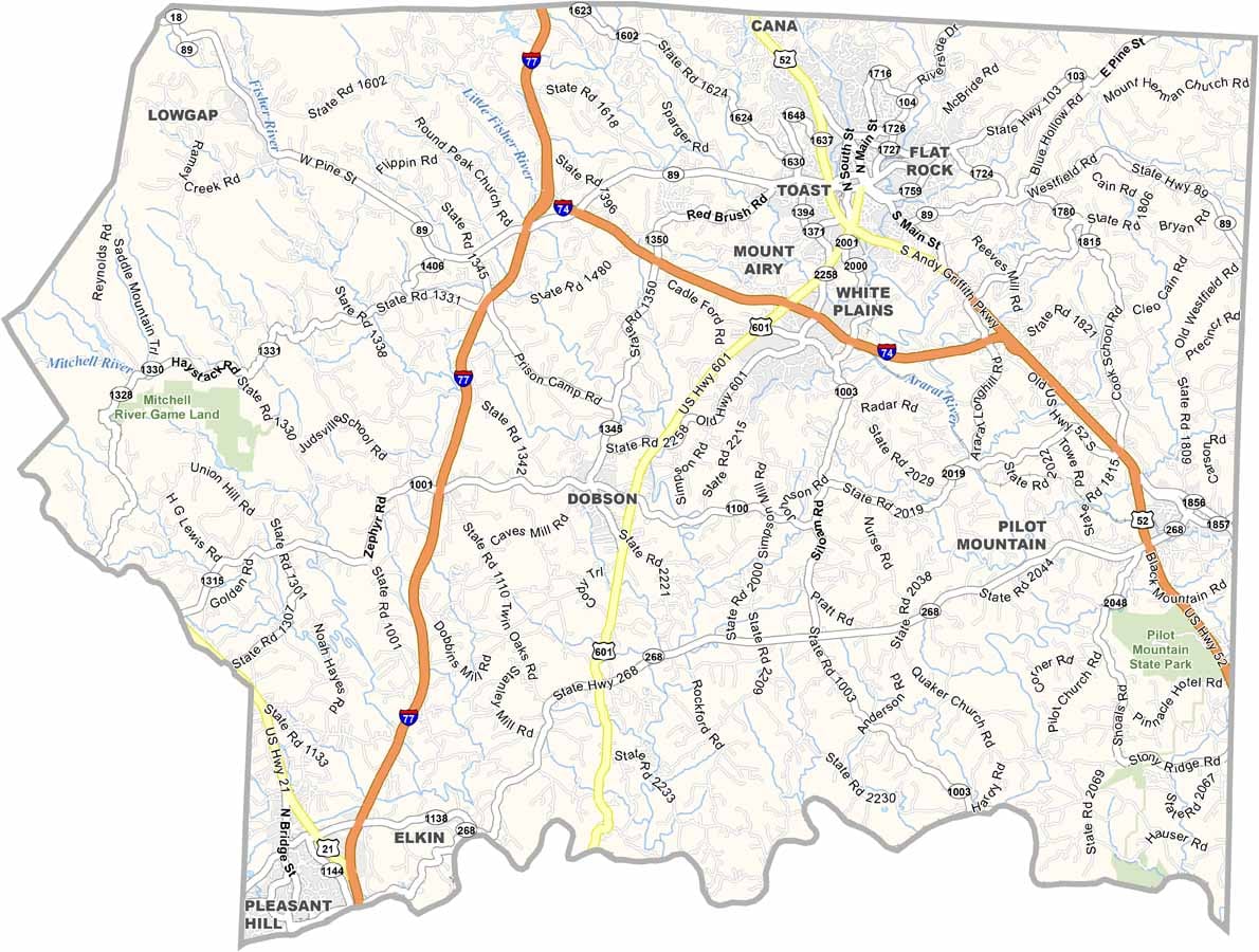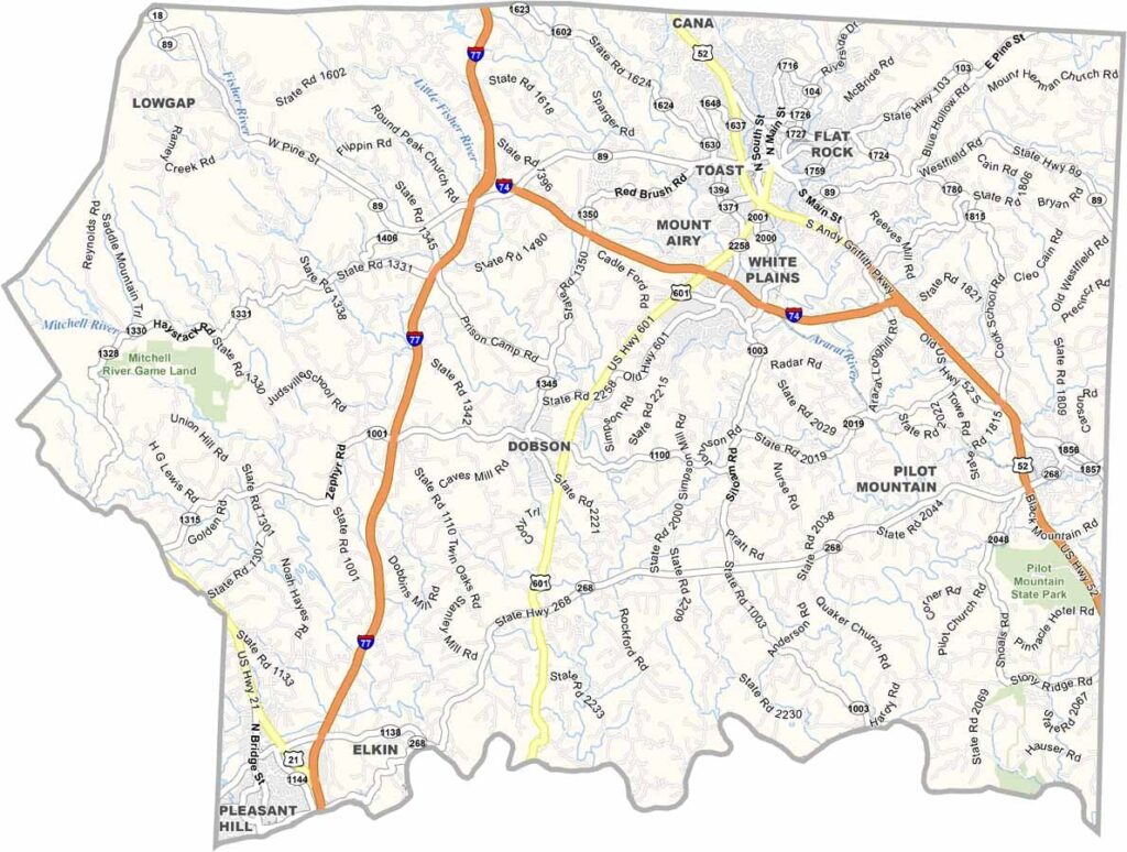
Surry County Map, North Carolina

Surry County, North Carolina

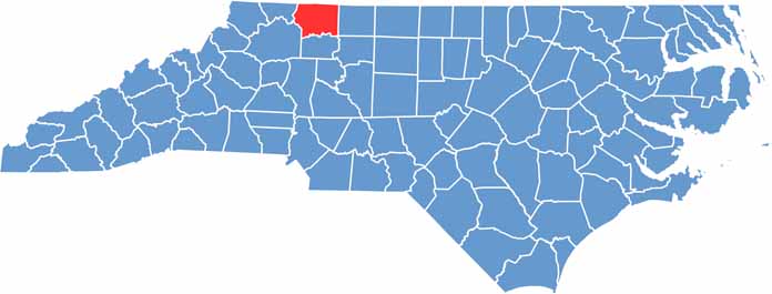
Surry County is in the northwestern corner of North Carolina, right up against the Virginia border. This region has rolling hills and winding roads.

Mount Airy is Andy Griffith’s hometown and the largest city here. Fans of “The Andy Griffith Show” enjoy coming here, drawn by the small-town charm that inspired Mayberry. But there’s more to Surry County than just nostalgia.

The county has a thriving wine industry, with vineyards covering the countryside. Pilot Mountain State Park offers great hiking and rock climbing. The area has deep musical roots, as old-time and bluegrass still echo through these hills.

CategoryDetails
County NameSurry County
County SeatDobson
EtymologyNamed after Surrey in England
Cities, Towns, and CommunitiesDobson, Mount Airy, Elkin, Pilot Mountain
Interstates and HighwaysU.S. Route 52, U.S. Route 601
FIPS Code37-171
Total Area536 square miles (land and water)
Adjacent CountiesPatrick County, Virginia (Northeast), Carroll County, Virginia (North), Grayson County, Virginia (Northwest), Stokes County (East), Forsyth County (Southeast), Yadkin County (South), Wilkes County (Southwest), Alleghany County (West)
Time ZoneEastern Time Zone
StateNorth Carolina
Coordinates36.4984° N, 80.6203° W
Major LandmarksMount Airy Museum of Regional History, Pilot Mountain
PopulationApproximately 75,000
Scroll to Top