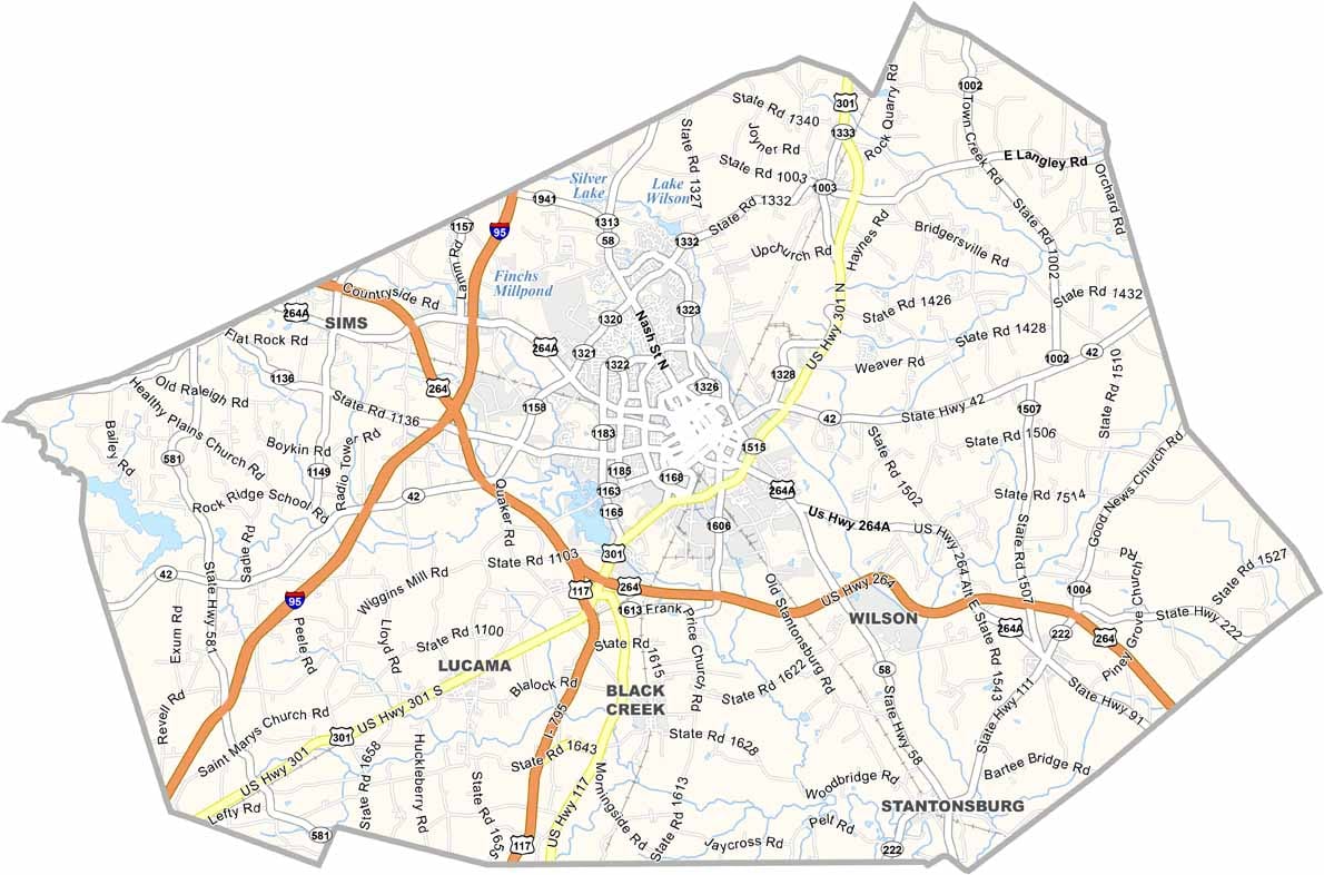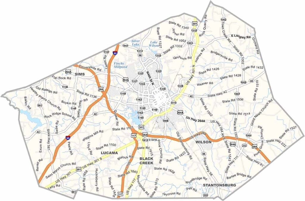
Wilson County Map, North Carolina

Wilson County, North Carolina

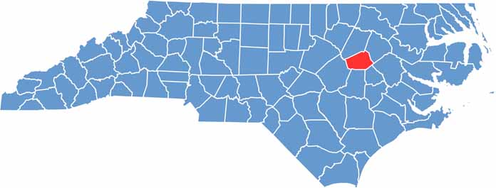
Wilson County is in the eastern part of North Carolina. The county seat, Wilson, is also the most populous city here. The downtown area is seeing a revival, with new shops and restaurants popping up.

It’s tobacco country, and the golden leaf shaped this place for generations. These days, the economy is more diverse, but you can still catch a whiff of that tobacco smell come harvest time.

The Vollis Simpson Whirligig Park is a quirky attraction that showcases massive kinetic sculptures. BBQ is serious business here, and Wilson Community College helps drive the local economy. It’s not ultra glamorous, but it has heart.

CategoryDetails
County NameWilson County
County SeatWilson
EtymologyNamed after Louis D. Wilson, a state legislator
Cities, Towns, and CommunitiesWilson, Elm City, Stantonsburg, Black Creek
Interstates and HighwaysU.S. Route 264, U.S. Route 301, U.S. Route 117
FIPS Code37-195
Total Area373 square miles (land and water)
Adjacent CountiesNash County (North), Edgecombe County (Northeast), Pitt County (East), Greene County (Southeast), Wayne County (South), Johnston County (Southwest)
Time ZoneEastern Time Zone
StateNorth Carolina
Coordinates35.7210° N, 77.9155° W
Major LandmarksWilson Botanical Gardens, Vollis Simpson Whirligig Park
PopulationApproximately 85,000
Scroll to Top