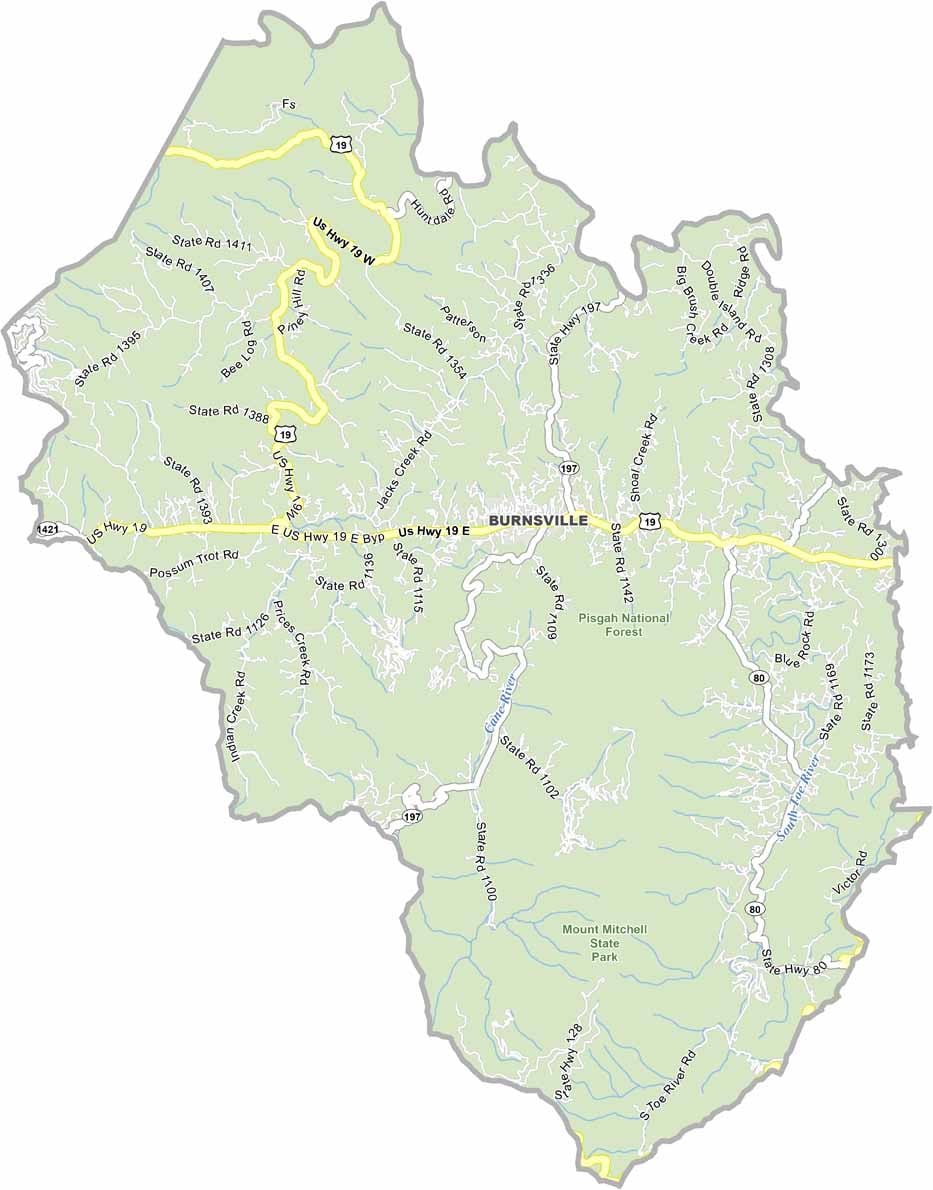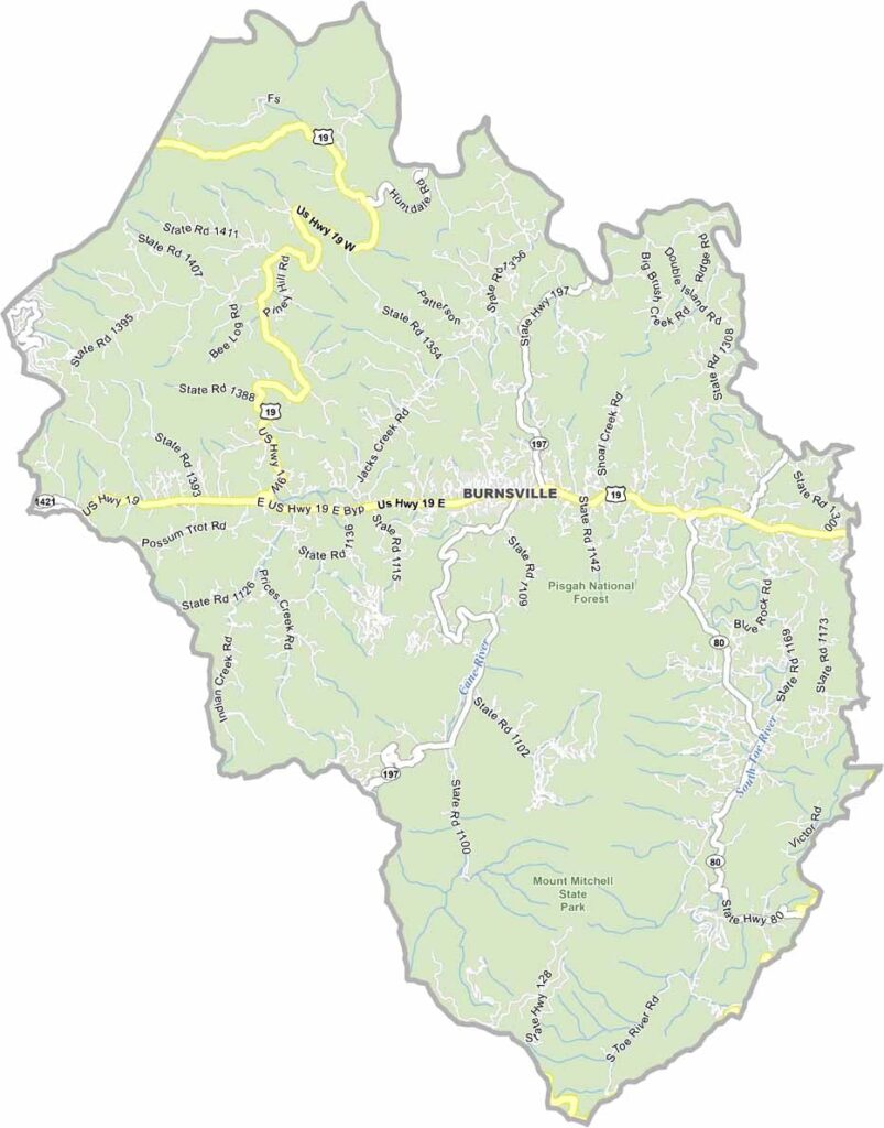
Yancey County Map, North Carolina

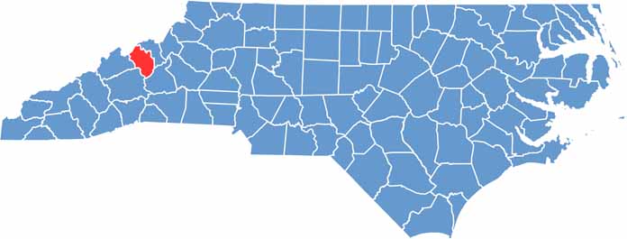
Yancey County, North Carolina

Yancey County is up in the Blue Ridge Mountains of western North Carolina. It’s home to Mount Mitchell, the highest peak east of the Mississippi River. Hikers come here for views that are out of this world.

Burnsville, the county seat, has a thriving arts scene, with galleries and studios lining the streets. Visitors can catch live performances, local crafts, and festivals throughout the year.

Mining played a big role in the county’s history, but agriculture remains important. The locals are fiercely proud of their mountain heritage. Pisgah National Forest occupies the entire area of the county. Yancey County isn’t for everyone, but those who love it, really love it.

CategoryDetails
County NameYancey County
County SeatBurnsville
EtymologyNamed after Bartlett Yancey, a United States Congressman
Cities, Towns, and CommunitiesBurnsville, Spruce Pine, Micaville, Pensacola
Interstates and HighwaysU.S. Route 19E, U.S. Route 226, North Carolina Highway 197
FIPS Code37-199
Total Area313 square miles (land and water)
Adjacent CountiesMitchell County (Northeast), McDowell County (Southeast), Buncombe County (Southwest), Madison County (West), Unicoi County, Tennessee (Northwest)
Time ZoneEastern Time Zone
StateNorth Carolina
Coordinates35.9165° N, 82.2711° W
Major LandmarksMount Mitchell, Pisgah National Forest
PopulationApproximately 20,000
Scroll to Top