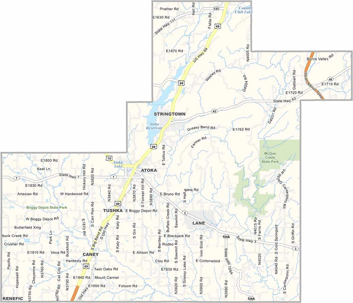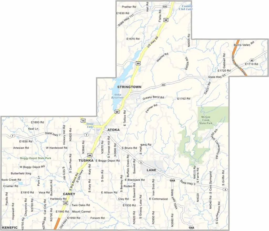
Atoka County Map, Oklahoma

Atoka County, Oklahoma

Atoka County is wedged into southeastern Oklahoma, a place where the plains meet the hills. It's named after a Choctaw Indian chief, which tells you something about its history.

Hunting and fishing are big here, and the county has more deer per square mile than people. Atoka is the main town and county seat.

If you're into war history, you might know about the Battle of Middle Boggy Depot, which happened right here in 1863. The Atoka Agreement, a pivotal document in Native American history, was signed in this county.
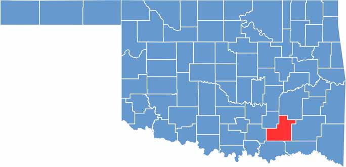

Location map of Atoka County, Oklahoma
CategoryDetails
County NameAtoka County
County SeatAtoka
EtymologyNamed after Captain Atoka, a Choctaw leader
Cities, Towns, and CommunitiesAtoka, Caney, Stringtown, Lane, Tushka, Bentley, Daisy, Farris, Redden
Interstates and HighwaysU.S. Highway 69, U.S. Highway 75, State Highway 3, State Highway 7
FIPS Code40-005
Total Area (Land and Water)990 square miles (976 sq mi land, 14 sq mi water)
Adjacent Counties (and Direction)Pittsburg County (North), Pushmataha County (East), Choctaw County (Southeast), Bryan County (South), Johnston County (West), Coal County (Northwest)
Time ZoneCentral Time Zone (CST)
StateOklahoma
Coordinates34°23'N, 96°01'W
Major LandmarksMcGee Creek State Park, Boggy Depot State Park, Atoka Museum and Civil War Cemetery
PopulationApproximately 13,500
Scroll to Top