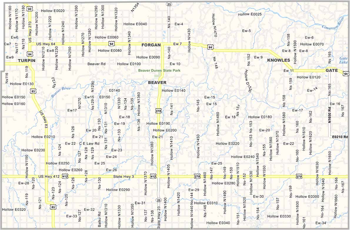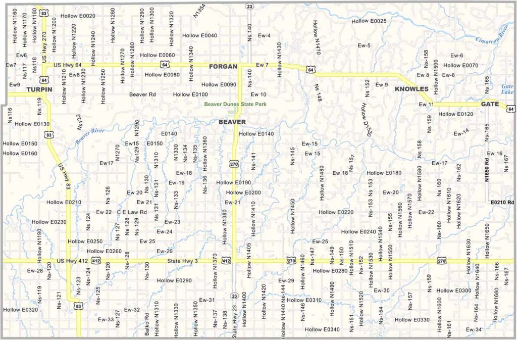
Beaver County Map, Oklahoma

Beaver County, Oklahoma

Beaver County is out in the Oklahoma Panhandle, bordering Texas to the south and Kansas to the north. Flat? You bet. You can watch your dog run away for three days.

The county seat is also called Beaver. It's about as small-town as it gets, but don't let that fool you, because these folks know how to have fun.

Ever heard of the World Cow Chip Throwing Contest? Yep, it's a real thing, and it happens right here. Dinosaurs once roamed this land, no kidding. Agriculture and cattle ranching dominate Beaver County.
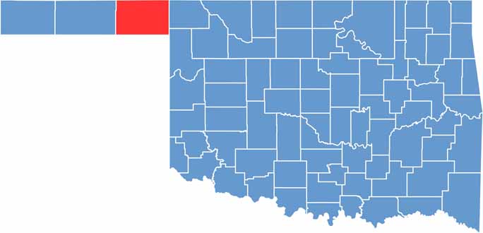

Location map of Beaver County, Oklahoma
CategoryDetails
County NameBeaver County
County SeatBeaver
EtymologyNamed after the Beaver River
Cities, Towns, and CommunitiesBeaver, Forgan, Gate, Knowles, Balko, Elmwood, Slapout
Interstates and HighwaysU.S. Highway 83, U.S. Highway 270, State Highway 3, State Highway 23
FIPS Code40-007
Total Area (Land and Water)1,818 square miles (1,815 sq mi land, 3 sq mi water)
Adjacent Counties (and Direction)Meade County, Kansas (North), Clark County, Kansas (Northeast), Harper County (East), Ellis County (Southeast), Lipscomb County, Texas (South), Ochiltree County, Texas (Southwest), Texas County (West), Seward County, Kansas (Northwest)
Time ZoneCentral Time Zone (CST)
StateOklahoma
Coordinates36°49'N, 100°31'W
Major LandmarksBeaver Dunes Park, Cow Chip Throwing Capital of the World (Beaver)
PopulationApproximately 5,200
Scroll to Top