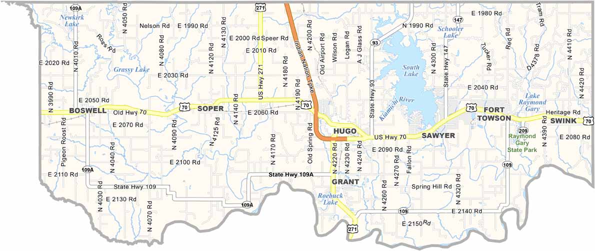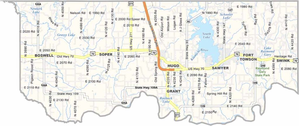
Choctaw County Map, Oklahoma

Choctaw County, Oklahoma

Choctaw County sits in southeastern Oklahoma along the Texas border. It’s named after the Choctaw tribe, who were forced to relocate here in the 1830s.

Hugo serves as both the county seat and largest town. It’s known as “Circus City, USA” because it becomes the winter home for several circus performers.

The county has a strong cowboy culture, with plenty of ranches and rodeos. Fort Towson, an old military outpost, offers a glimpse into frontier life. Fishing is also popular, thanks to Hugo Lake and the Kiamichi River.
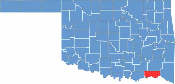

Location map of Choctaw County, Oklahoma
CategoryDetails
County NameChoctaw County
County SeatHugo
EtymologyNamed after the Choctaw Native American tribe
Cities, Towns, and CommunitiesHugo, Boswell, Fort Towson, Soper, Sawyer, Grant, Swink
Interstates and HighwaysU.S. Highway 70, U.S. Highway 271, State Highway 109, State Highway 147
FIPS Code40-023
Total Area (Land and Water)800 square miles (770 sq mi land, 30 sq mi water)
Adjacent Counties (and Direction)Pushmataha County (North), McCurtain County (East), Red River County, Texas (Southeast), Lamar County, Texas (South), Bryan County (West), Atoka County (Northwest)
Time ZoneCentral Time Zone (CST)
StateOklahoma
Coordinates34°02’N, 95°32’W
Major LandmarksHugo Lake, Frisco Depot Museum, Fort Towson Historic Site, Kiamichi Park
PopulationApproximately 15,000
Scroll to Top