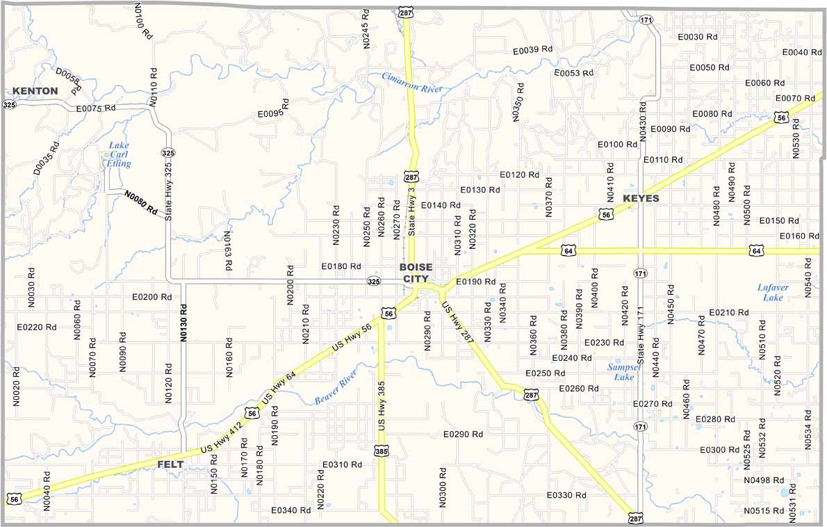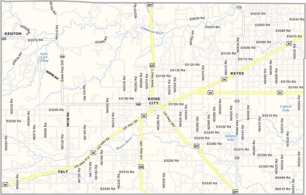
Cimarron County Map, Oklahoma

Cimarron County, Oklahoma

Cimarron County occupies the westernmost tip of the Oklahoma Panhandle. It’s the only county in the U.S. that touches four other states: New Mexico, Texas, Colorado, and Kansas.

Boise City serves as the county seat. The landscape is stark but beautiful, with wide-open plains stretching across the horizon. You might even spot pronghorn antelope or mule deer roaming freely.

The county has a rich dinosaur history, with paleontologists discovering fossils dating back millions of years. Farming and ranching remain the main industries, with wheat fields and cattle ranches dominating the scenery. It’s one of the least populated counties in Oklahoma, but what it lacks in people, it makes up for in character and natural beauty.
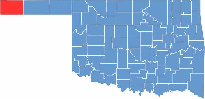

Location map of Cimarron County, Oklahoma
CategoryDetails
County NameCimarron County
County SeatBoise City
EtymologyNamed after the Cimarron River
Cities, Towns, and CommunitiesBoise City, Keyes, Felt, Griggs, Wheeless
Interstates and HighwaysU.S. Highway 56, U.S. Highway 64, U.S. Highway 287, State Highway 3
FIPS Code40-025
Total Area (Land and Water)1,841 square miles (1,835 sq mi land, 6 sq mi water)
Adjacent Counties (and Direction)Baca County, Colorado (North), Morton County, Kansas (Northeast), Texas County (East), Dallam County, Texas (South), Sherman County, Texas (Southeast), Union County, New Mexico (West)
Time ZoneMountain Time Zone (MST)
StateOklahoma
Coordinates36°49’N, 102°31’W
Major LandmarksBlack Mesa State Park, Cimarron Heritage Center, Autograph Rock, Kenton Mercantile
PopulationApproximately 2,000
Scroll to Top