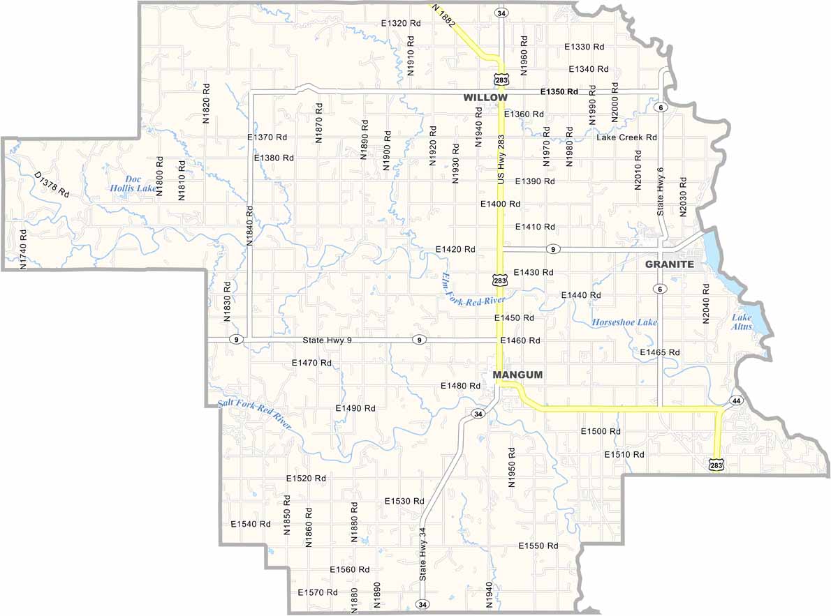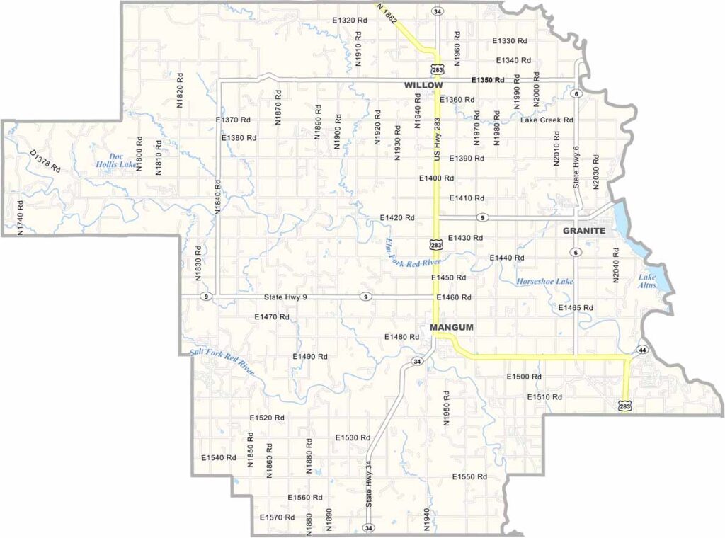
Greer County Map, Oklahoma

Greer County, Oklahoma

Greer County is tucked away in southwestern Oklahoma. It used to be part of Texas, if you can believe it. Mangum, the county seat, is very lively.

The county is mostly rural, with agriculture as the backbone of the economy. Cotton is king here, and you'll see fields of it stretching for miles.

The Wichita Mountains provide a stunning backdrop to the west. Summers are hot and dry, and winters can be surprisingly cold. But the people here are warm year-round, friendly and welcoming to strangers.
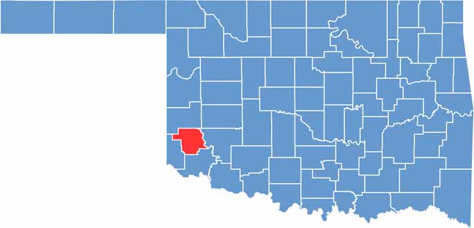

Location map of Greer County, Oklahoma
CategoryDetails
County NameGreer County
County SeatMangum
EtymologyNamed after John Alexander Greer, a prominent political figure in the Republic of Texas
Cities, Towns, and CommunitiesMangum, Granite, Willow, Brinkman
Interstates and HighwaysU.S. Highway 283, State Highway 6, State Highway 9
FIPS Code40-055
Total Area (Land and Water)644 square miles (639 sq mi land, 5 sq mi water)
Adjacent Counties (and Direction)Beckham County (North), Kiowa County (East), Jackson County (South), Harmon County (West)
Time ZoneCentral Time Zone (CST)
StateOklahoma
Coordinates34°55'N, 99°33'W
Major LandmarksQuartz Mountain Nature Park, Greer County Courthouse, Lake Altus-Lugert
PopulationApproximately 5,000
Scroll to Top