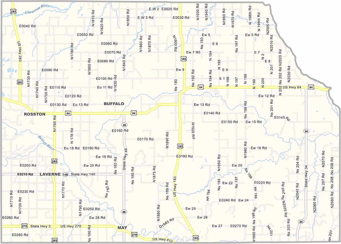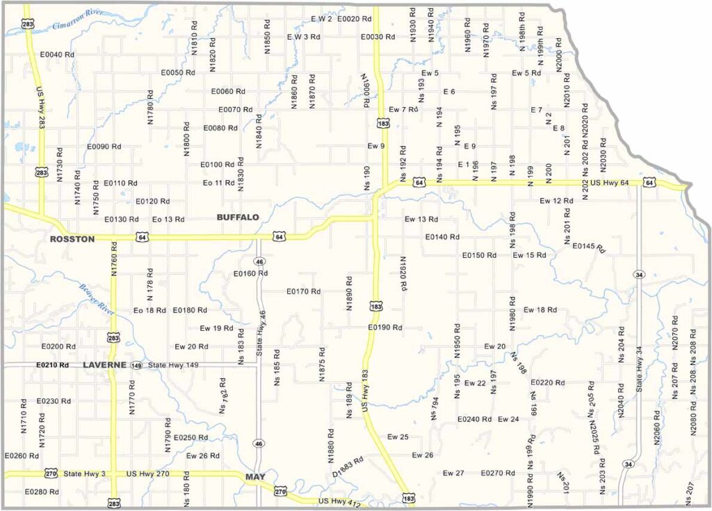
Harper County Map, Oklahoma

Haskell County, Oklahoma

Haskell County is a small slice of Oklahoma sitting in the eastern part of the state. The county was named after Charles N. Haskell, Oklahoma's first governor.

The county seat is Stigler, where most of the action happens. Not that there's a ton of action, mind you. It's quiet and peaceful, but don't let that fool you, because there's history here.

Farming is big around these parts, with cotton, corn, and oats. There's also Lake Eufaula, which includes the Eufaula Dam, and it's great for fishing, if that's your thing.
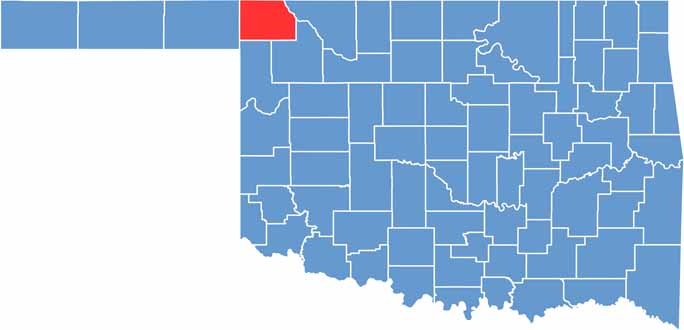

Location map of Harper County, Oklahoma
CategoryDetails
County NameHaskell County
County SeatStigler
EtymologyNamed after Charles N. Haskell, the first governor of Oklahoma
Cities, Towns, and CommunitiesStigler, Kinta, Keota, McCurtain, Lequire, Hoyt, Tamaha
Interstates and HighwaysU.S. Highway 271, State Highway 9, State Highway 31, State Highway 82
FIPS Code40-061
Total Area (Land and Water)625 square miles (577 sq mi land, 48 sq mi water)
Adjacent Counties (and Direction)Muskogee County (North), Sequoyah County (Northeast), Le Flore County (East), Latimer County (South), Pittsburg County (West), McIntosh County (Northwest)
Time ZoneCentral Time Zone (CST)
StateOklahoma
Coordinates35°14'N, 95°06'W
Major LandmarksLake Eufaula, Robbers Cave State Park, Haskell County Historical Society Museum
PopulationApproximately 12,000
Scroll to Top