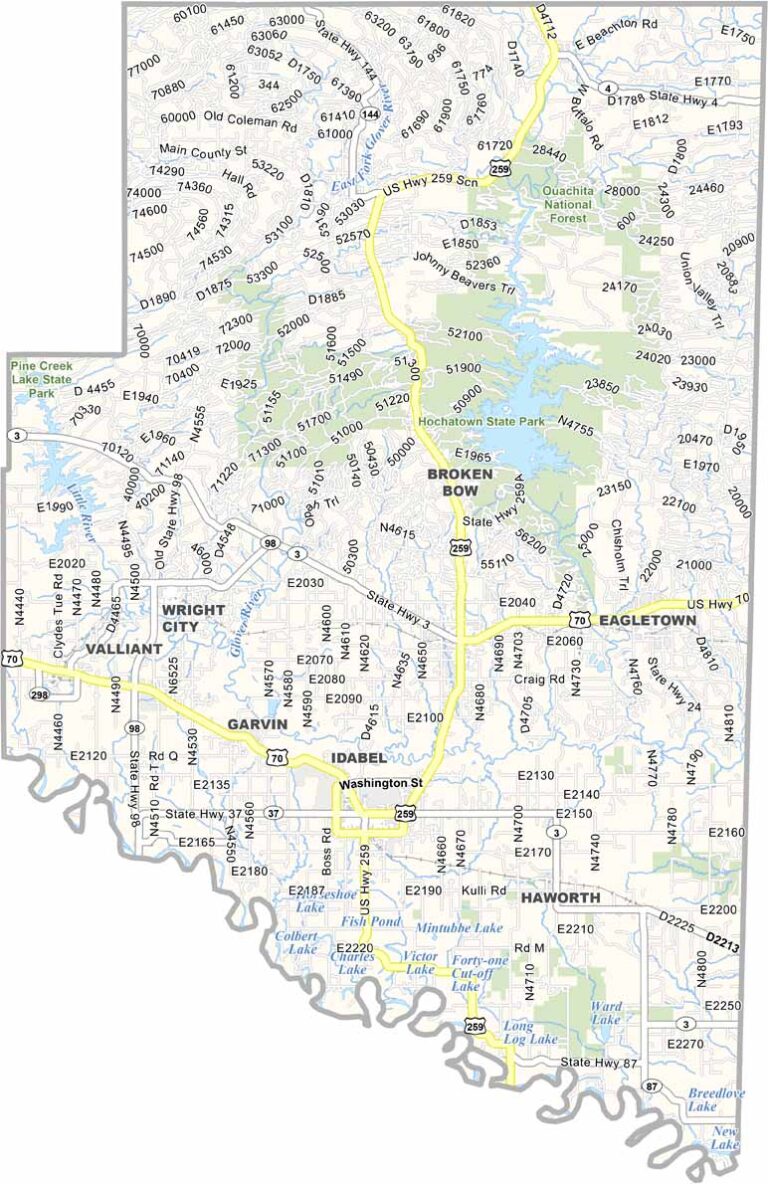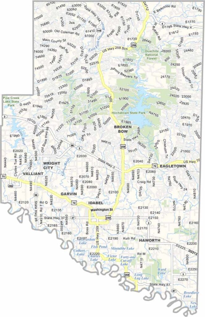
McCurtain County Map, Oklahoma

McCurtain County, Oklahoma

Southeastern Oklahoma is home to McCurtain County. It's big. Real big. Forests are everywhere, and the Ouachita National Forest covers a good chunk.

Beavers Bend State Park is a major draw, with fishing, hiking, camping, and more. Idabel is the biggest town, but Broken Bow is a close second. It's not crowded, though.

This place has some serious biodiversity. Black bears roam here, and so do bald eagles. The logging industry is still important, but tourism is growing fast. People come for the scenery and stay for the hospitality.
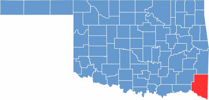

Location map of McCurtain County, Oklahoma
CategoryDetails
County NameMcCurtain County
County SeatIdabel
EtymologyNamed after the McCurtain family, a prominent Choctaw landowning group
Cities, Towns, and CommunitiesIdabel, Broken Bow, Valliant, Haworth, Wright City, Eagletown, Millerton
Interstates and HighwaysU.S. Highway 70, U.S. Highway 259, U.S. Highway 271, State Highway 3
FIPS Code40-089
Total Area (Land and Water)1,902 square miles (1,850 sq mi land, 52 sq mi water)
Adjacent Counties (and Direction)Le Flore County (North), Polk County, Arkansas (Northeast), Sevier County, Arkansas (East), Little River County, Arkansas (Southeast), Bowie County, Texas (South), Red River County, Texas (Southwest), Choctaw County (West), Pushmataha County (Northwest)
Time ZoneCentral Time Zone (CST)
StateOklahoma
Coordinates34°09'N, 94°40'W
Major LandmarksBeavers Bend State Park, Broken Bow Lake, Little River National Wildlife Refuge, Hochatown State Park
PopulationApproximately 31,000
Scroll to Top