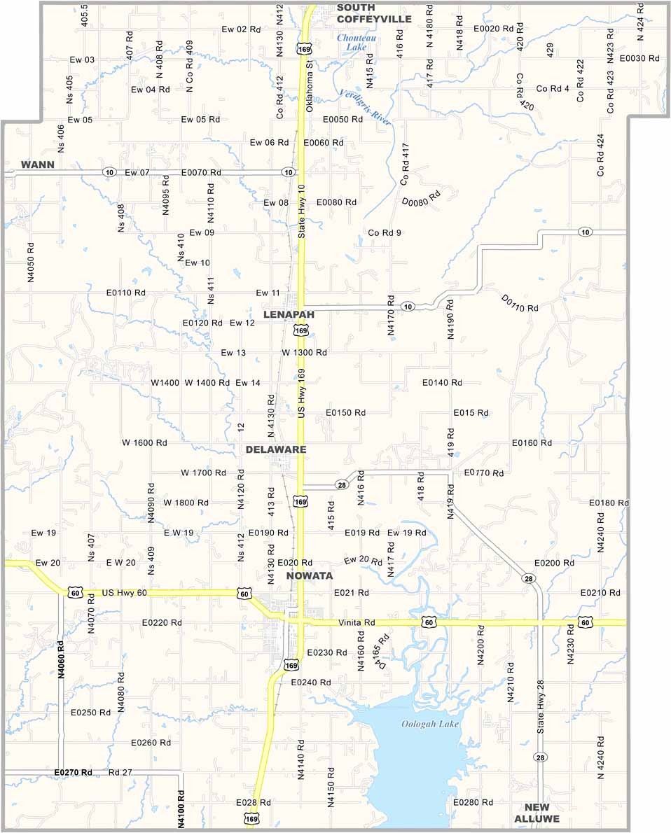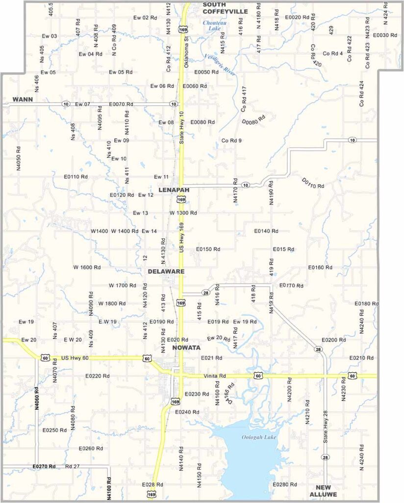
Nowata County Map, Oklahoma

Nowata County, Oklahoma

Nowata County is in the northeastern corner of Oklahoma, bordering the state of Kansas. The name "Nowata" comes from a Delaware word meaning "welcome."

The county's landscape is a mix of rolling hills and prairies. Agriculture is central to the local economy, but cattle ranching is still important too.

The Will Rogers Birthplace Ranch is nearby, just outside the county to the south. Visitors love fishing in Lake Oologah, which is also a local hotspot. Communities have a laid-back pace of life.
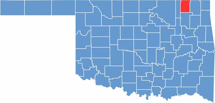

Location map of Nowata County, Oklahoma
CategoryDetails
County NameNowata County
County SeatNowata
EtymologyNamed after the town of Nowata, Oklahoma
Cities, Towns, and CommunitiesNowata, South Coffeyville, Lenapah, Delaware, Wann
Interstates and HighwaysU.S. Highway 60, U.S. Highway 169, State Highway 10
FIPS Code40-105
Total Area (Land and Water)581 square miles (566 sq mi land, 15 sq mi water)
Adjacent Counties (and Direction)Montgomery County, Kansas (North), Labette County, Kansas (Northeast), Craig County (East), Rogers County (South), Washington County (West)
Time ZoneCentral Time Zone (CST)
StateOklahoma
Coordinates36°47'N, 95°37'W
Major LandmarksNowata County Historical Museum, Cherokee Casino, Lake Oologah
PopulationApproximately 10,000
Scroll to Top