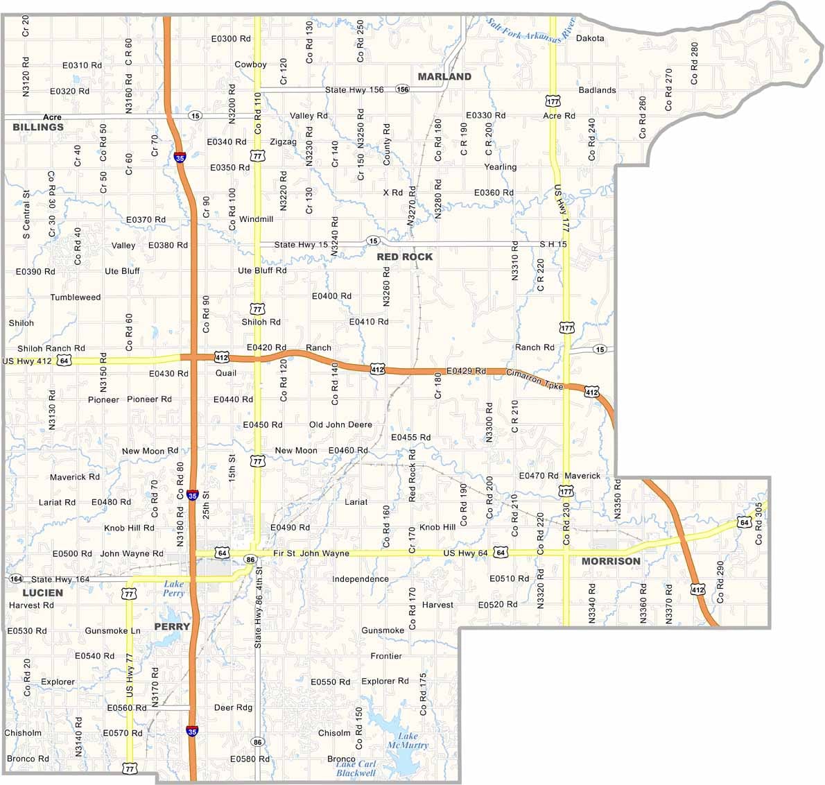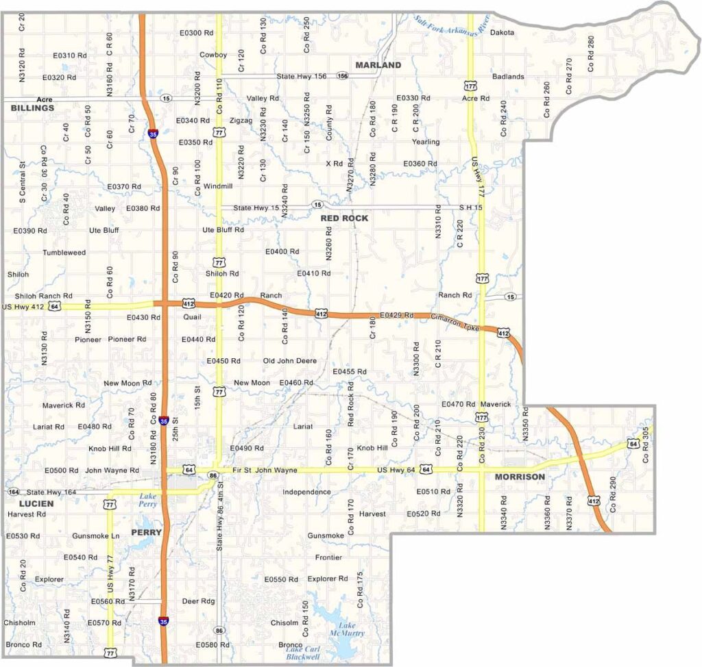
Noble County Map, Oklahoma

Noble County, Oklahoma

Noble County sits in the north-central part of Oklahoma. It's named after John Willock Noble, a former U.S. Secretary of the Interior.

The county has a rich history tied to the Cherokee Strip Land Run of 1893. Perry, the county seat, is known for its downtown area, which is full of historic buildings.

The county's economy is diverse, with agriculture, oil, and manufacturing all playing important roles. Locals love their annual Cherokee Strip Celebration. Sooner Lake is also a popular spot for fishing and boating.
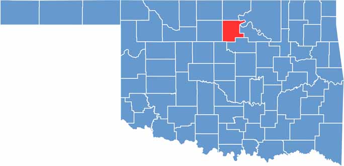

Location map of Noble County, Oklahoma
CategoryDetails
County NameNoble County
County SeatPerry
EtymologyNamed after John W. Noble, U.S. Secretary of the Interior
Cities, Towns, and CommunitiesPerry, Red Rock, Billings, Marland, Morrison, Lucien
Interstates and HighwaysInterstate 35, U.S. Highway 64, U.S. Highway 77, State Highway 15
FIPS Code40-103
Total Area (Land and Water)743 square miles (733 sq mi land, 10 sq mi water)
Adjacent Counties (and Direction)Kay County (North), Osage County (Northeast), Pawnee County (East), Payne County (South), Logan County (Southwest), Garfield County (West)
Time ZoneCentral Time Zone (CST)
StateOklahoma
Coordinates36°20'N, 97°17'W
Major LandmarksPerry Courthouse, Cherokee Strip Museum, Perry Wrestling Monument
PopulationApproximately 11,000
Scroll to Top