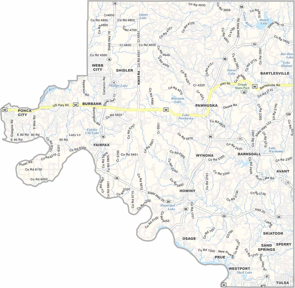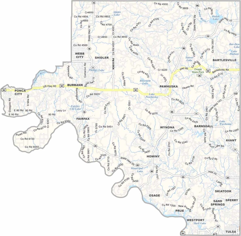
Osage County Map, Oklahoma

Osage County, Oklahoma

Osage County takes up the northeast corner of Oklahoma. It's the largest county in the state by area and sits next to the state of Kansas.

Pawhuska, the county seat, has become a bit of a tourist hotspot over the years. Thank Ree Drummond, the Pioneer Woman, for that.

Oil has been a big part of the county's story, and ranching is still important here, with cattle grazing on vast pastures. Osage Hills State Park is here, and so is the Tallgrass Prairie Preserve, a sea of grass that seems to go on forever.
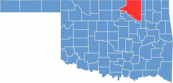

Location map of Osage County, Oklahoma
CategoryDetails
County NameOsage County
County SeatPawhuska
EtymologyNamed after the Osage Native American tribe
Cities, Towns, and CommunitiesPawhuska, Skiatook, Hominy, Fairfax, Barnsdall, Avant, Wynona, Shidler
Interstates and HighwaysU.S. Highway 60, U.S. Highway 75, State Highway 11, State Highway 20
FIPS Code40-113
Total Area (Land and Water)2,304 square miles (2,246 sq mi land, 58 sq mi water)
Adjacent Counties (and Direction)Cowley County, Kansas (Northwest), Chautauqua County, Kansas (North), Washington County (East), Tulsa County (Southeast), Pawnee County (Southwest), Kay County (West), Noble County (West)
Time ZoneCentral Time Zone (CST)
StateOklahoma
Coordinates36°37'N, 96°24'W
Major LandmarksTallgrass Prairie Preserve, Osage Hills State Park, Pioneer Woman Mercantile, Osage Nation Museum
PopulationApproximately 46,000
Scroll to Top