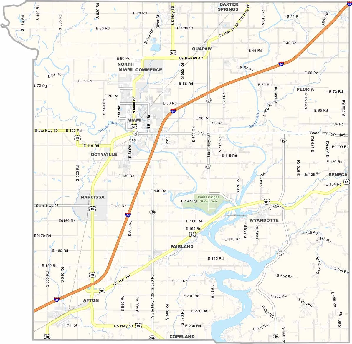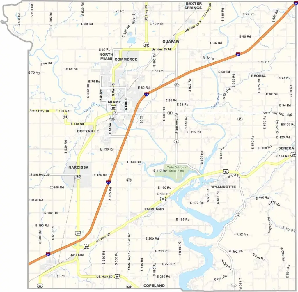
Ottawa County Map, Oklahoma

Ottawa County, Oklahoma

Ottawa County sits at the northeastern tip of Oklahoma, where Oklahoma, Kansas, and Missouri come together. Miami, the county seat, is full of Route 66 nostalgia.

The Neosho River and Spring River run through the county and offer great fishing spots. Ottawa County has a colorful past, shaped by lead and zinc mining.

Today it is better known for something very different: the Spooklight, a mysterious orb that appears along a rural road. Ghost hunters love the flickering light that hovers over the countryside.
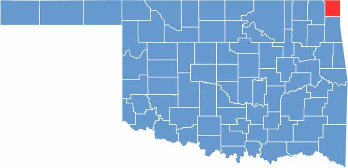

Location map of Ottawa County, Oklahoma
CategoryDetails
County NameOttawa County
County SeatMiami
EtymologyNamed after the Ottawa Native American tribe
Cities, Towns, and CommunitiesMiami, Commerce, Quapaw, Fairland, Afton, Wyandotte, North Miami, Cardin
Interstates and HighwaysU.S. Highway 60, U.S. Highway 69, U.S. Highway 59, State Highway 10
FIPS Code40-115
Total Area (Land and Water)485 square miles (471 sq mi land, 14 sq mi water)
Adjacent Counties (and Direction)Cherokee County, Kansas (North), Newton County, Missouri (East), McDonald County, Missouri (Southeast), Delaware County (South), Craig County (West)
Time ZoneCentral Time Zone (CST)
StateOklahoma
Coordinates36°49’N, 94°49’W
Major LandmarksRoute 66 Vintage Iron Motorcycle Museum, Coleman Theatre, Twin Bridges State Park
PopulationApproximately 30,000
Scroll to Top