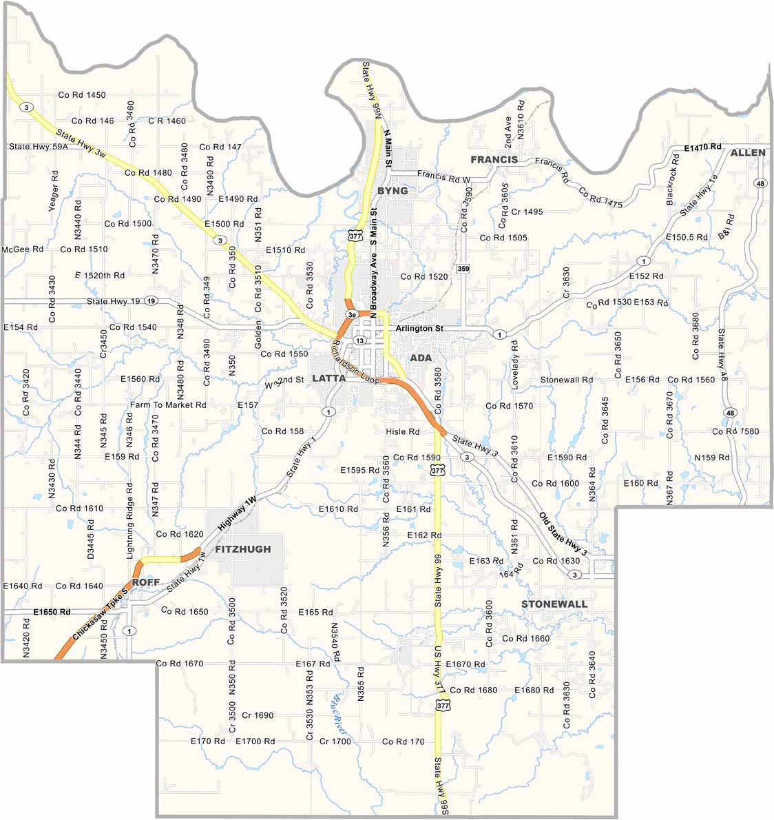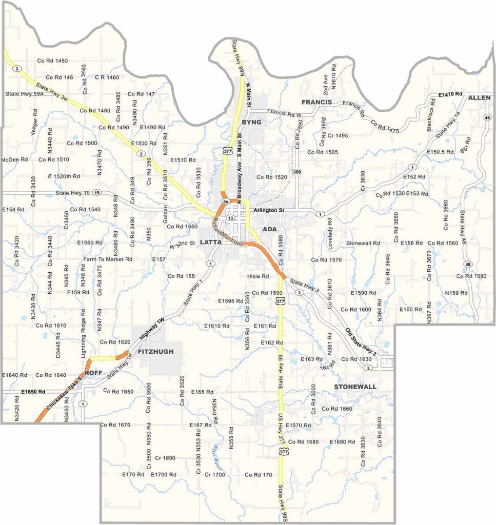
Pontotoc County Map, Oklahoma

Pontotoc County, Oklahoma

Pontotoc County is located in south-central Oklahoma. Ada serves as the county seat and is home to East Central University. The Chickasaw Nation also has its headquarters in Ada, adding a strong Native American cultural presence to the area.

It’s not a very large county. The area has some interesting geological features, including unique gypsum formations.

Outdoor enthusiasts have plenty to enjoy, from fishing and hiking to other recreational activities. The local economy is diverse, with agriculture, manufacturing, and oil all playing important roles.
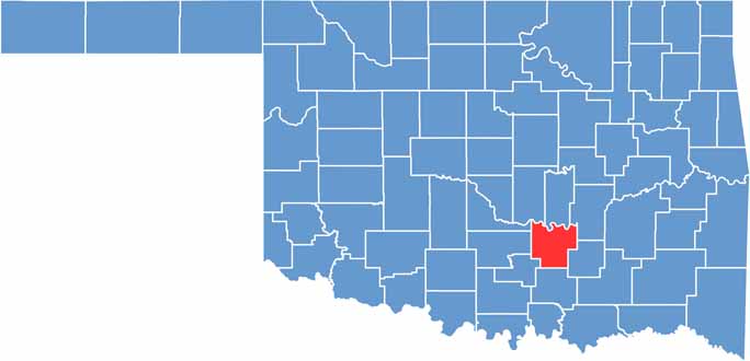

Location map of Pontotoc County, Oklahoma
CategoryDetails
County NamePontotoc County
County SeatAda
EtymologyNamed after the Chickasaw word for “cat tails growing on the water”
Cities, Towns, and CommunitiesAda, Byng, Stonewall, Roff, Allen, Fitzhugh, Francis, Fittstown
Interstates and HighwaysU.S. Highway 377, State Highway 1, State Highway 3, State Highway 19
FIPS Code40-123
Total Area (Land and Water)725 square miles (720 sq mi land, 5 sq mi water)
Adjacent Counties (and Direction)Seminole County (North), Hughes County (Northeast), Coal County (Southeast), Johnston County (South), Murray County (Southwest), Garvin County (West), McClain County (Northwest), Pottawatomie County (Northwest)
Time ZoneCentral Time Zone (CST)
StateOklahoma
Coordinates34°46’N, 96°40’W
Major LandmarksEast Central University, Wintersmith Park, Pontotoc Technology Center
PopulationApproximately 39,000
Scroll to Top