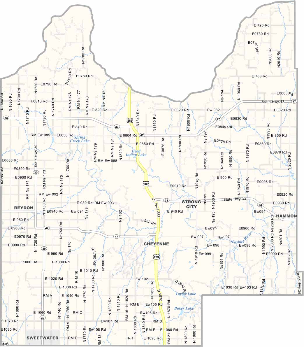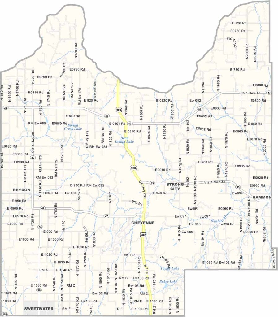
Roger Mills County Map, Oklahoma

Roger Mills County, Oklahoma

Roger Mills County sits in western Oklahoma along the Texas border. Cheyenne serves as the county seat and has the kind of small-town atmosphere you’d expect in this part of the state.

The land is rugged in its own way, shaped by wind and weather over generations. The terrain is mostly flat, but don’t let the wide-open spaces fool you. There’s plenty happening here.

Farming and ranching are major parts of life, along with oil and gas. The county has experienced its share of ups and downs, including the devastating impact of the Dust Bowl. Still, the people here are known for their resilience.
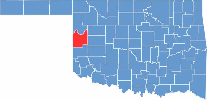

Location map of Roger Mills County, Oklahoma
CategoryDetails
County NameRoger Mills County
County SeatCheyenne
EtymologyNamed after Roger Q. Mills, a U.S. Senator from Texas
Cities, Towns, and CommunitiesCheyenne, Hammon, Reydon, Strong City, Crawford
Interstates and HighwaysU.S. Highway 283, State Highway 33, State Highway 47
FIPS Code40-129
Total Area (Land and Water)1,146 square miles (1,141 sq mi land, 5 sq mi water)
Adjacent Counties (and Direction)Ellis County (North), Dewey County (Northeast), Custer County (East), Beckham County (South), Wheeler County, Texas (Southwest), Hemphill County, Texas (Northwest)
Time ZoneCentral Time Zone (CST)
StateOklahoma
Coordinates35°37’N, 99°41’W
Major LandmarksBlack Kettle National Grassland, Washita Battlefield National Historic Site, Sandstone Canyon
PopulationApproximately 3,500
Scroll to Top